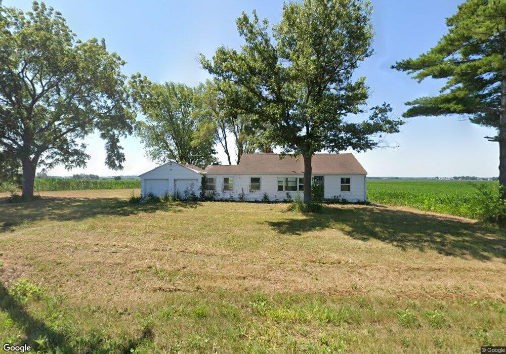
30721 Capp Rd Sterling, IL 61081
Estimated Value: $91,972 - $251,000
Studio
--
Bath
--
Sq Ft
1
Acre Lot
About This Home
This home is located at 30721 Capp Rd, Sterling, IL 61081 and is currently estimated at $167,243. 30721 Capp Rd is a home located in Whiteside County.
Ownership History
We collect this data history from publicly available records. To have your information removed, we recommend requesting removal directly through your county’s website.
Date
Name
Owned For
Owner Type
Purchase Details
Closed on
Sep 5, 2024
Sold by
Bought by
Current Estimated Value
Purchase Details
Closed on
Apr 23, 2020
Sold by
Bought by
Purchase Details
Closed on
Mar 26, 2014
Sold by
Bought by
Purchase Details
Closed on
May 4, 2007
Sold by
Bought by
Create a Home Valuation Report for This Property
The Home Valuation Report is an in-depth analysis detailing your home's value as well as a comparison with similar homes in the area
Purchase History
We collect this data history from publicly available records. To have your information removed, we recommend requesting removal directly through your county’s website.
| Date | Buyer | Sale Price | Title Company |
|---|---|---|---|
| $30,000 | None Listed On Document | ||
| -- | None Available | ||
| $55,500 | Nti | ||
| $63,000 | None Available |
Source: Public Records
Tax History
We collect this data history from publicly available records. To have your information removed, we recommend requesting removal directly through your county’s website.
| Year | Tax Paid | Tax Assessment Tax Assessment Total Assessment is a certain percentage of the fair market value that is determined by local assessors to be the total taxable value of land and additions on the property. | Land | Improvement |
|---|---|---|---|---|
| 2025 | $1,551 | $23,299 | $5,446 | $17,853 |
| 2024 | $1,476 | $21,700 | $5,072 | $16,628 |
| 2023 | $1,376 | $20,208 | $4,723 | $15,485 |
| 2022 | $1,283 | $18,448 | $4,312 | $14,136 |
| 2021 | $1,266 | $17,844 | $4,732 | $13,112 |
| 2020 | $1,203 | $16,818 | $4,460 | $12,358 |
| 2019 | $1,135 | $15,556 | $4,125 | $11,431 |
| 2018 | $1,116 | $15,344 | $4,069 | $11,275 |
| 2017 | $1,119 | $14,877 | $3,945 | $10,932 |
| 2016 | $1,194 | $15,791 | $4,187 | $11,604 |
| 2015 | $165 | $27,553 | $3,977 | $23,576 |
| 2014 | $725 | $15,500 | $4,110 | $11,390 |
| 2013 | $165 | $27,553 | $3,977 | $23,576 |
Source: Public Records
Map
Nearby Homes
- 31040 Penrose Rd
- Lot 7 Rodeo Dr
- 104 Gaston St
- 1725 Heritage Dr
- Lot 3 Lenox Rd
- Lot 5 Lenox Rd
- Lot 4 Lenox Rd
- 3603 14th Ave
- 7006 S Unity Rd
- 0 E Lincolnway Unit MRD12284937
- 1203 24th Place
- 1206 E 24th St
- 2203 20th Ave
- 2202 Meadows Dr
- 2205 Meadows Dr
- Lot 4 E 19th St
- Lot 1 E 19th St
- 905 E 21st St
- Lot 403 E 21st St
- 2912 Woodlawn Rd
- 20021 Polo Rd
- 000 Polo Rd
- 19986 Polo Rd
- 20287 Polo Rd
- 19698 Polo Rd
- 20325 Polo Rd
- 20374 Polo Rd
- 31080 Rick Rd
- 20024 Freeport Rd
- 19398 Polo Rd
- 19331 Polo Rd
- 19877 Freeport Rd
- 20342 Freeport Rd
- 20227 Freeport Rd
- 20436 Freeport Rd
- 20436 Freeport Rd
- 19555 Freeport Rd
- 31480 Rick Rd
- 19531 Freeport Rd
- 19380 Freeport Rd
Your Personal Tour Guide
Ask me questions while you tour the home.