3074 Barr Rd Mansfield, OH 44904
Estimated Value: $183,546 - $211,000
3
Beds
1
Bath
960
Sq Ft
$204/Sq Ft
Est. Value
About This Home
This home is located at 3074 Barr Rd, Mansfield, OH 44904 and is currently estimated at $195,637, approximately $203 per square foot. 3074 Barr Rd is a home located in Richland County with nearby schools including Lexington High School and Grace Christian School.
Ownership History
Date
Name
Owned For
Owner Type
Purchase Details
Closed on
Jun 23, 2006
Sold by
Meservey Robert L
Bought by
Meservey Marc A and Meservey Shannon
Current Estimated Value
Home Financials for this Owner
Home Financials are based on the most recent Mortgage that was taken out on this home.
Original Mortgage
$95,000
Interest Rate
6.72%
Mortgage Type
Purchase Money Mortgage
Purchase Details
Closed on
Oct 18, 2005
Sold by
Meservey Robert L
Bought by
Meservey Marc A
Home Financials for this Owner
Home Financials are based on the most recent Mortgage that was taken out on this home.
Original Mortgage
$80,000
Interest Rate
5.82%
Mortgage Type
Seller Take Back
Create a Home Valuation Report for This Property
The Home Valuation Report is an in-depth analysis detailing your home's value as well as a comparison with similar homes in the area
Home Values in the Area
Average Home Value in this Area
Purchase History
| Date | Buyer | Sale Price | Title Company |
|---|---|---|---|
| Meservey Marc A | $95,000 | Southern Title | |
| Meservey Marc A | $80,000 | None Available |
Source: Public Records
Mortgage History
| Date | Status | Borrower | Loan Amount |
|---|---|---|---|
| Closed | Meservey Marc A | $95,000 | |
| Closed | Meservey Marc A | $80,000 |
Source: Public Records
Tax History
| Year | Tax Paid | Tax Assessment Tax Assessment Total Assessment is a certain percentage of the fair market value that is determined by local assessors to be the total taxable value of land and additions on the property. | Land | Improvement |
|---|---|---|---|---|
| 2024 | $2,117 | $42,370 | $14,810 | $27,560 |
| 2023 | $2,163 | $42,370 | $14,810 | $27,560 |
| 2022 | $2,091 | $35,240 | $13,460 | $21,780 |
| 2021 | $2,098 | $35,240 | $13,460 | $21,780 |
| 2020 | $2,099 | $35,240 | $13,460 | $21,780 |
| 2019 | $1,957 | $30,150 | $11,410 | $18,740 |
| 2018 | $1,679 | $30,150 | $11,410 | $18,740 |
| 2017 | $1,662 | $30,150 | $11,410 | $18,740 |
| 2016 | $1,749 | $31,120 | $11,410 | $19,710 |
| 2015 | $1,749 | $31,120 | $11,410 | $19,710 |
| 2014 | $1,685 | $31,120 | $11,410 | $19,710 |
| 2012 | $795 | $31,120 | $11,410 | $19,710 |
Source: Public Records
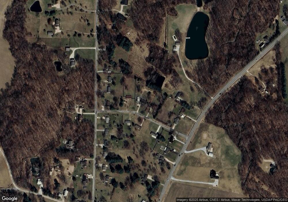
Map
Nearby Homes
- 3825 Needham Rd
- 3854 Needham Rd
- 3570 Needham Rd
- 3401 Whitetail Dr W
- 0 Fox Rd
- 135 Foxcroft Rd
- 0 Crossbridge Ct
- 3040 Gass Rd
- 154 W Main St
- 246 Holiday Hill
- 324 Chapman Way Unit 324
- 48 Grange St
- 98 W Main St
- 77 Frederick St
- 279 Hampton Rd
- 0 Ohio 97
- 2520 Bellville Johnsville Rd
- 98 Tamarac Dr
- 142 Essex Rd
- 80 Essex Cir
- 3096 Barr Rd
- 3072 Barr Rd
- 3773 Needham Rd
- 3093 Barr Rd
- 3081 Barr Rd
- 3878 State Route 42 S
- 3761 Needham Rd
- 3061 Barr Rd
- 3042 Barr Rd
- 3801 Needham Rd
- 3751 Needham Rd
- 3886 State Route 42 S Unit US
- 3906 State Route 42 S
- 3731 Needham Rd
- 3912 State Route 42 S
- 3841 Needham Rd
- 3870 State Route 42 S
- 3800 Needham Rd
- 3918 State Route 42 S
- 3845 Needham Rd
Your Personal Tour Guide
Ask me questions while you tour the home.