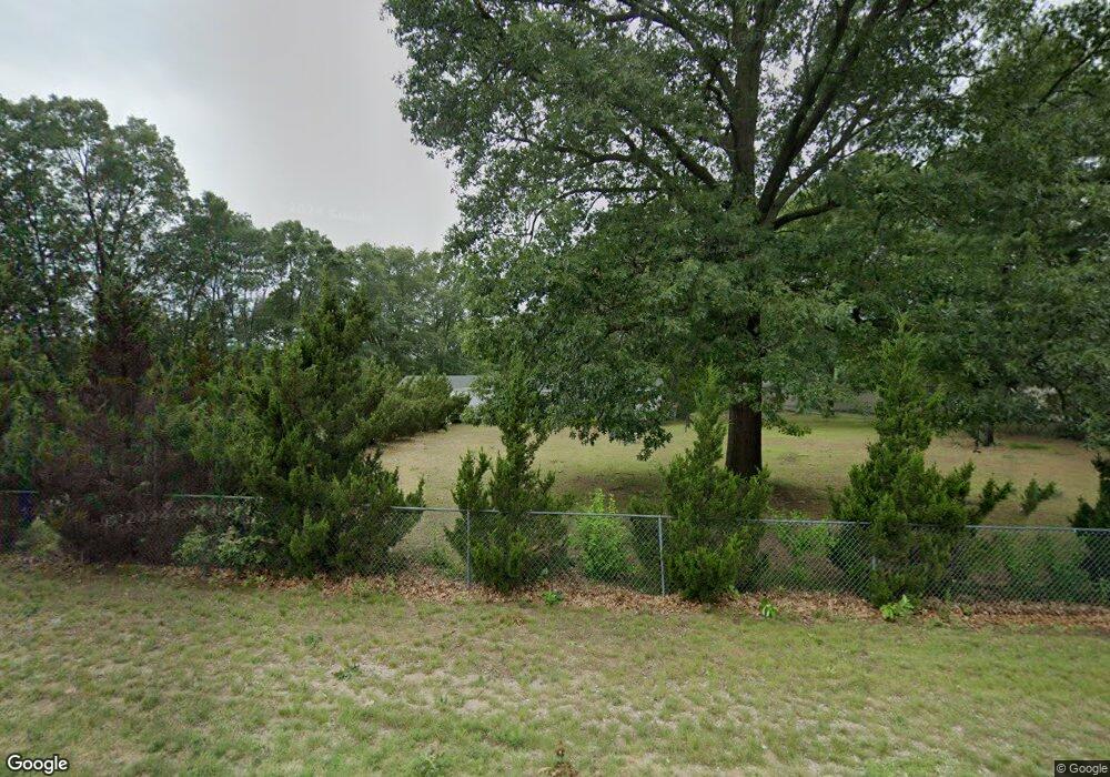
3075 S Brooks Rd Muskegon, MI 49444
Estimated Value: $239,000 - $263,021
2
Beds
2
Baths
1,200
Sq Ft
$206/Sq Ft
Est. Value
About This Home
This home is located at 3075 S Brooks Rd, Muskegon, MI 49444 and is currently estimated at $247,755, approximately $206 per square foot. 3075 S Brooks Rd is a home located in Muskegon County with nearby schools including Fruitport High School, Timberland Charter Academy, and Calvary Christian Schools.
Ownership History
Date
Name
Owned For
Owner Type
Purchase Details
Closed on
Mar 30, 2006
Sold by
Goodwin Micheal and Goodwin Judy
Bought by
Mccarthy Kitty K
Current Estimated Value
Home Financials for this Owner
Home Financials are based on the most recent Mortgage that was taken out on this home.
Original Mortgage
$68,000
Outstanding Balance
$39,010
Interest Rate
6.33%
Mortgage Type
Fannie Mae Freddie Mac
Estimated Equity
$208,745
Purchase Details
Closed on
Jan 13, 2006
Sold by
Goodwin Judy and Goodwin Michael
Bought by
Citifinancial Mortgage Co Inc and Associates Financial Services Co Of Mi
Create a Home Valuation Report for This Property
The Home Valuation Report is an in-depth analysis detailing your home's value as well as a comparison with similar homes in the area
Home Values in the Area
Average Home Value in this Area
Purchase History
| Date | Buyer | Sale Price | Title Company |
|---|---|---|---|
| Mccarthy Kitty K | -- | None Available | |
| Citifinancial Mortgage Co Inc | $85,500 | None Available |
Source: Public Records
Mortgage History
| Date | Status | Borrower | Loan Amount |
|---|---|---|---|
| Open | Mccarthy Kitty K | $68,000 |
Source: Public Records
Tax History Compared to Growth
Tax History
| Year | Tax Paid | Tax Assessment Tax Assessment Total Assessment is a certain percentage of the fair market value that is determined by local assessors to be the total taxable value of land and additions on the property. | Land | Improvement |
|---|---|---|---|---|
| 2025 | $1,611 | $110,900 | $0 | $0 |
| 2024 | $1,133 | $92,300 | $0 | $0 |
| 2023 | $1,083 | $81,300 | $0 | $0 |
| 2022 | $1,402 | $71,500 | $0 | $0 |
| 2021 | $1,363 | $63,500 | $0 | $0 |
| 2020 | $1,348 | $57,700 | $0 | $0 |
| 2019 | $1,323 | $54,000 | $0 | $0 |
| 2018 | $1,292 | $49,600 | $0 | $0 |
| 2017 | $1,266 | $50,000 | $0 | $0 |
| 2016 | $769 | $46,300 | $0 | $0 |
| 2015 | -- | $41,900 | $0 | $0 |
| 2014 | -- | $39,900 | $0 | $0 |
| 2013 | -- | $37,900 | $0 | $0 |
Source: Public Records
Map
Nearby Homes
- 3256 Pinebrook St Unit 159
- 3331 Birchwood Unit Lot 102
- 3331 Pinebrook St Unit 183
- 2550 Heights Ravenna Rd
- 4326 Teanmar Ave
- 4295 Heights Ravenna Rd
- 3658 Stephanie Ln
- 3485 S Carr Rd
- 3575 S Dangl Rd
- 2852 Devowe St
- 4037 S Brooks Rd
- 2054 Ironwood Ct W
- 3249 de Feyter St
- 3471 Kersting Dr
- 1978 Colonial Ln
- 1946 Spyglass Trail
- VL Evanston Ave Unit Industrial
- VL Evanston Ave Unit Residential
- 1907 S Brooks Rd
- 4242 Doral Dr
- 3956 Trailside Dr
- 3050 S Brooks Rd
- 3930 Trailside Dr
- 3103 S Brooks Rd
- 3022 S Brooks Rd
- 3090 S Brooks Rd
- 3963 Trailside Dr
- 3894 Trailside Dr
- 3945 Trailside Dr
- 3121 S Brooks Rd
- 3931 Trailside Dr
- 3915 Trailside Dr
- 4035 E Summit Ave
- 3878 Trailside Dr
- 1 S Brooks Rd
- 4077 E Summit Ave
- 3893 Trailside Dr
- 3157 S Brooks Rd
- 4056 E Summit Ave
- 3864 Trailside Dr
