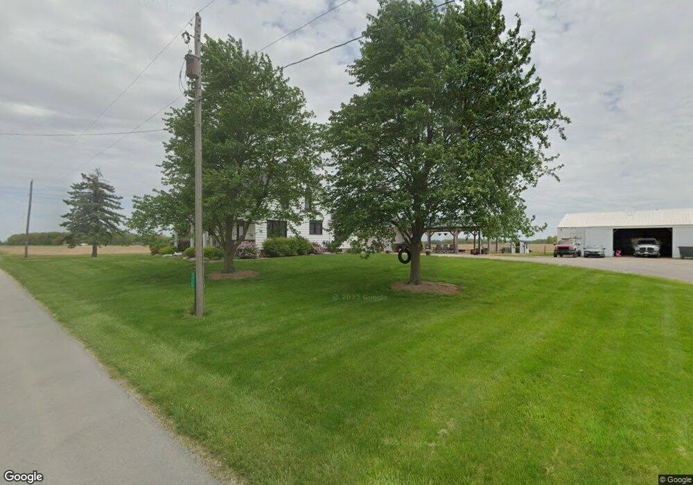
3075 Salem Rd Spencerville, OH 45887
Estimated Value: $301,000 - $378,000
3
Beds
2
Baths
2,176
Sq Ft
$159/Sq Ft
Est. Value
About This Home
This home is located at 3075 Salem Rd, Spencerville, OH 45887 and is currently estimated at $344,957, approximately $158 per square foot. 3075 Salem Rd is a home located in Allen County with nearby schools including Spencerville Elementary School, Spencerville Middle School, and Spencerville High School.
Ownership History
Date
Name
Owned For
Owner Type
Purchase Details
Closed on
Apr 6, 2015
Sold by
Keller Roberta L
Bought by
Leiber Timothy D
Current Estimated Value
Home Financials for this Owner
Home Financials are based on the most recent Mortgage that was taken out on this home.
Original Mortgage
$168,547
Outstanding Balance
$129,703
Interest Rate
3.73%
Mortgage Type
VA
Estimated Equity
$215,254
Create a Home Valuation Report for This Property
The Home Valuation Report is an in-depth analysis detailing your home's value as well as a comparison with similar homes in the area
Home Values in the Area
Average Home Value in this Area
Purchase History
| Date | Buyer | Sale Price | Title Company |
|---|---|---|---|
| Leiber Timothy D | $165,000 | None Available |
Source: Public Records
Mortgage History
| Date | Status | Borrower | Loan Amount |
|---|---|---|---|
| Open | Leiber Timothy D | $168,547 |
Source: Public Records
Tax History Compared to Growth
Tax History
| Year | Tax Paid | Tax Assessment Tax Assessment Total Assessment is a certain percentage of the fair market value that is determined by local assessors to be the total taxable value of land and additions on the property. | Land | Improvement |
|---|---|---|---|---|
| 2024 | $3,030 | $95,310 | $23,700 | $71,610 |
| 2023 | $2,241 | $65,740 | $16,350 | $49,390 |
| 2022 | $2,324 | $65,000 | $16,350 | $48,650 |
| 2021 | $2,317 | $65,000 | $16,350 | $48,650 |
| 2020 | $2,125 | $57,690 | $17,470 | $40,220 |
| 2019 | $2,125 | $57,690 | $17,470 | $40,220 |
| 2018 | $2,032 | $57,690 | $17,470 | $40,220 |
| 2017 | $1,916 | $52,260 | $17,470 | $34,790 |
| 2016 | $1,869 | $52,260 | $17,470 | $34,790 |
| 2015 | $1,824 | $52,260 | $17,470 | $34,790 |
| 2014 | $1,824 | $50,760 | $11,730 | $39,030 |
| 2013 | $1,843 | $50,760 | $11,730 | $39,030 |
Source: Public Records
Map
Nearby Homes
- 00 Kleinoeder Rd
- 406 S Mulberry St
- 521 S Broadway St
- 440 W 4th St
- 409 W 4th St
- 336 W 4th St
- 213 N Pearl St
- 316 E 4th St
- 123 Oakland Ave
- 408 N Mulberry St
- 425 N Main St
- 714 Briggs Ave Unit 1
- 21197 Ohio 116
- 21183 Ohio 116
- 14101 Allentown Rd
- 21302 Masters Rd
- 18341 Saint Marys River Rd
- 22284 Ohio 198
- 7470 Fort Amanda Rd
- 8323 Deep Cut Rd
- 3333 Salem Rd
- 14053 Henne Rd
- 14245 Kolter Rd
- 14575 Henne Rd
- 14485 Kolter Rd
- 14040 Kolter Rd
- 13933 Henne Rd
- 14010 Kolter Rd
- 13909 Kolter Rd
- 14170 Kolter Rd
- 13801 Kolter Rd
- 13665 Henne Rd
- 3434 Kleinoeder Rd
- 13679 Kolter Rd
- 14848 Kolter Rd
- 3030 Kleinoeder Rd
- 3133 S Saint Marys Rd
- 3133 S Street Marys Rd
- 13575 Sarka Rd
- 13550 Kolter Rd