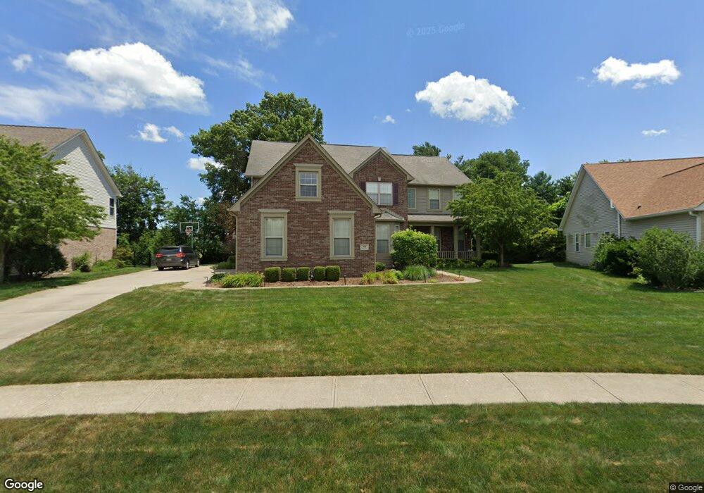
3076 Amber Way Bargersville, IN 46106
Estimated Value: $486,000 - $537,000
3
Beds
4
Baths
3,922
Sq Ft
$132/Sq Ft
Est. Value
About This Home
This home is located at 3076 Amber Way, Bargersville, IN 46106 and is currently estimated at $518,323, approximately $132 per square foot. 3076 Amber Way is a home located in Johnson County with nearby schools including Maple Grove Elementary School, Center Grove Middle School Central, and Center Grove High School.
Ownership History
Date
Name
Owned For
Owner Type
Purchase Details
Closed on
Sep 27, 2006
Sold by
Princeton Group Inc
Bought by
Beach Matthew and Beach Anita
Current Estimated Value
Home Financials for this Owner
Home Financials are based on the most recent Mortgage that was taken out on this home.
Original Mortgage
$30,497
Interest Rate
6.49%
Mortgage Type
Stand Alone Second
Create a Home Valuation Report for This Property
The Home Valuation Report is an in-depth analysis detailing your home's value as well as a comparison with similar homes in the area
Home Values in the Area
Average Home Value in this Area
Purchase History
| Date | Buyer | Sale Price | Title Company |
|---|---|---|---|
| Beach Matthew | -- | None Available |
Source: Public Records
Mortgage History
| Date | Status | Borrower | Loan Amount |
|---|---|---|---|
| Closed | Beach Matthew | $30,497 | |
| Open | Beach Matthew | $243,980 |
Source: Public Records
Tax History Compared to Growth
Tax History
| Year | Tax Paid | Tax Assessment Tax Assessment Total Assessment is a certain percentage of the fair market value that is determined by local assessors to be the total taxable value of land and additions on the property. | Land | Improvement |
|---|---|---|---|---|
| 2025 | $4,466 | $490,800 | $86,700 | $404,100 |
| 2024 | $4,466 | $446,600 | $86,700 | $359,900 |
| 2023 | $4,508 | $450,800 | $86,700 | $364,100 |
| 2022 | $4,225 | $422,500 | $73,200 | $349,300 |
| 2021 | $3,547 | $354,700 | $57,100 | $297,600 |
| 2020 | $3,428 | $342,800 | $57,100 | $285,700 |
| 2019 | $3,457 | $345,700 | $57,100 | $288,600 |
| 2018 | $3,576 | $343,500 | $57,100 | $286,400 |
| 2017 | $3,716 | $371,600 | $50,000 | $321,600 |
| 2016 | $3,117 | $336,000 | $50,000 | $286,000 |
| 2014 | $3,167 | $307,800 | $50,000 | $257,800 |
| 2013 | $3,167 | $316,700 | $50,000 | $266,700 |
Source: Public Records
Map
Nearby Homes
- 3058 Mcintosh Dr
- 5502 Breaburn Rd
- 5571 Auburndale Dr
- 3270 Cherokee Cir
- 3176 Tecumseh Way
- 3301 Cheyenne Ct
- 000 N State Road 135
- 4000 N State Road 135
- 6093 Tremont Blvd
- Bellamy Plan at Lone Pine Farms
- Henley Plan at Lone Pine Farms
- Chatham Plan at Lone Pine Farms
- Harmony Plan at Lone Pine Farms
- Freeport Plan at Lone Pine Farms
- Stamford Plan at Lone Pine Farms
- 1359 Foxtail Ln
- 1359 Foxtail Ln
- 963 Booneway Ln
- 3808 Claybrook Ct
- 1278 Foxtail Ln
- 3088 Amber Way
- 3064 Amber Way
- 3100 Amber Way
- 3083 Amber Way
- 3052 Amber Way
- 5510 N State Road 135
- 3057 Amber Way
- 3095 Amber Way
- 3112 Amber Way
- 5575 Somerset Blvd
- 3124 Amber Way
- 5587 Somerset Blvd
- 3149 Amber Way
- 5562 Somerset Blvd
- 5538 Somerset Blvd
- 5550 Somerset Blvd
- 5574 Somerset Blvd
- 5599 Somerset Blvd
- 3161 Amber Way
- 3148 Amber Way