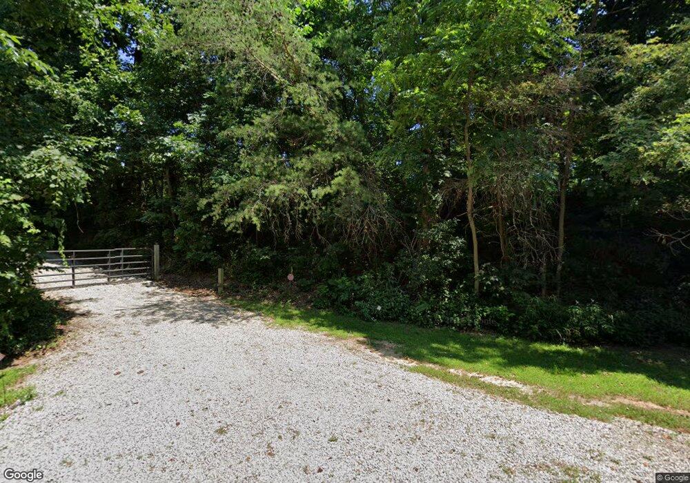
30760 Briar Ridge Rd Langsville, OH 45741
Estimated Value: $105,344 - $140,000
2
Beds
1
Bath
864
Sq Ft
$146/Sq Ft
Est. Value
About This Home
This home is located at 30760 Briar Ridge Rd, Langsville, OH 45741 and is currently estimated at $126,448, approximately $146 per square foot. 30760 Briar Ridge Rd is a home located in Meigs County with nearby schools including Meigs Primary School, Meigs Middle School, and Meigs High School.
Ownership History
Date
Name
Owned For
Owner Type
Purchase Details
Closed on
Mar 17, 2017
Sold by
Canterbury Ii Gary Ray
Bought by
Lance Steven R and Lance Patricia A
Current Estimated Value
Purchase Details
Closed on
Aug 23, 2006
Sold by
Daily Joshua
Bought by
Canterbury Ii Gary Ray
Purchase Details
Closed on
Dec 12, 2005
Sold by
Floyd Dewey Allen
Bought by
Daily Joshua
Purchase Details
Closed on
Feb 19, 1999
Bought by
Canterbury Ii Gary Ray
Create a Home Valuation Report for This Property
The Home Valuation Report is an in-depth analysis detailing your home's value as well as a comparison with similar homes in the area
Home Values in the Area
Average Home Value in this Area
Purchase History
| Date | Buyer | Sale Price | Title Company |
|---|---|---|---|
| Lance Steven R | $60,000 | Warranty Title Agency Inc | |
| Canterbury Ii Gary Ray | -- | -- | |
| Daily Joshua | -- | -- | |
| Canterbury Ii Gary Ray | $10,800 | -- |
Source: Public Records
Tax History Compared to Growth
Tax History
| Year | Tax Paid | Tax Assessment Tax Assessment Total Assessment is a certain percentage of the fair market value that is determined by local assessors to be the total taxable value of land and additions on the property. | Land | Improvement |
|---|---|---|---|---|
| 2024 | $804 | $24,520 | $10,290 | $14,230 |
| 2023 | $804 | $24,520 | $10,290 | $14,230 |
| 2022 | $845 | $24,520 | $10,290 | $14,230 |
| 2021 | $747 | $18,390 | $8,540 | $9,850 |
| 2020 | $696 | $18,390 | $8,540 | $9,850 |
| 2019 | $686 | $18,390 | $8,540 | $9,850 |
| 2018 | $519 | $14,020 | $5,410 | $8,610 |
| 2017 | $519 | $14,020 | $5,410 | $8,610 |
| 2016 | $514 | $14,020 | $5,410 | $8,610 |
| 2014 | $718 | $12,130 | $5,410 | $6,720 |
| 2013 | $718 | $20,980 | $5,410 | $15,570 |
Source: Public Records
Map
Nearby Homes
- 30286 Briar Ridge Rd
- 30284 Briar Ridge Rd
- 30285 Briar Ridge Rd
- 0 Briar Ridge Rd Unit 11566708
- 0 Briar Ridge Rd Unit 24580050
- 0 Briar Ridge Rd Unit 24580053
- 31428 Will Vance Rd
- 0 Will Vance Rd Unit 23777611
- 32325 Red Hill Rd Unit (SeclusionCabin at B
- 32204 Titus Rd Unit (GV Cabin at Titus)
- 32204 Titus Rd
- 0 Parkinson Rd
- 0 Red Hill Rd Unit 25653294
- 0 Red Hill Rd Unit 11594354
- 0 Edmundson Rd Unit (Tract 5 at Big Timb
- 0 Edmundson Rd Unit (Tract 2 at Big Timb
- 0 Edmundson Rd Unit (Tract 6 at Big Timb
- 0 Edmundson Rd Unit 23463048
- 0 Edmundson Rd Unit 2429533
- 0 Edmundson Rd Unit 23607169
- 9.966 Ac Briar Ridge Rd
- 31090 Goff Rd
- 30608 Briar Ridge Rd
- 30720 Sanford Davis Rd
- 30976 Ward Rd
- 30976 Will Vance Rd
- 31513 Goff Rd
- 0 Briar Ridge Rd Unit 11562403
- 0 Briar Ridge Rd Unit 180867
- 0 Briar Ridge Rd Unit 156183
- 0 Briar Ridge Rd Unit LOT 6 210009473
- 0 Briar Ridge Rd
- 31130 Will Vance Rd
- 30025 Hoffman Rd
- 29996 Sanford Davis Rd
- 31580 State Route 325
- 31771 State Route 325
- 31645 State Route 325
- 31471 State Route 325
- 0 Will Vance Rd Unit 23961785
