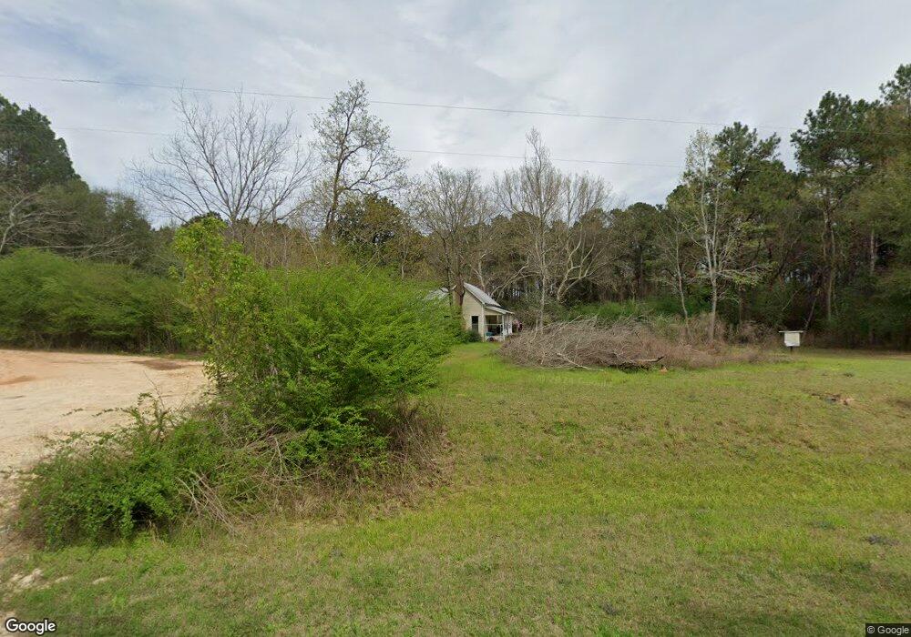
3077 Highway 602 Laurel Hill, FL 32567
Estimated Value: $72,002 - $144,000
2
Beds
1
Bath
1,424
Sq Ft
$73/Sq Ft
Est. Value
About This Home
This home is located at 3077 Highway 602, Laurel Hill, FL 32567 and is currently estimated at $103,751, approximately $72 per square foot. 3077 Highway 602 is a home located in Okaloosa County with nearby schools including Laurel Hill School.
Ownership History
Date
Name
Owned For
Owner Type
Purchase Details
Closed on
Mar 26, 2019
Sold by
Federal National Mortgage Association
Bought by
Vangorder Cheryl Anne
Current Estimated Value
Purchase Details
Closed on
Dec 14, 2007
Sold by
Andress David Allen and Andress Patrice C
Bought by
Andress David Allen
Purchase Details
Closed on
May 16, 2002
Sold by
Johnson Paula Ann and Johnson Janis Michelle
Bought by
Andress David Allen and Andress Patrice C
Create a Home Valuation Report for This Property
The Home Valuation Report is an in-depth analysis detailing your home's value as well as a comparison with similar homes in the area
Home Values in the Area
Average Home Value in this Area
Purchase History
| Date | Buyer | Sale Price | Title Company |
|---|---|---|---|
| Vangorder Cheryl Anne | $25,000 | Attorney | |
| Andress David Allen | -- | Somers Title Company | |
| Andress David Allen | $2,500 | -- |
Source: Public Records
Tax History Compared to Growth
Tax History
| Year | Tax Paid | Tax Assessment Tax Assessment Total Assessment is a certain percentage of the fair market value that is determined by local assessors to be the total taxable value of land and additions on the property. | Land | Improvement |
|---|---|---|---|---|
| 2024 | $503 | $43,382 | $15,796 | $27,586 |
| 2023 | $503 | $42,350 | $14,762 | $27,588 |
| 2022 | $469 | $39,035 | $13,797 | $25,238 |
| 2021 | $423 | $31,967 | $13,132 | $18,835 |
| 2020 | $402 | $30,117 | $12,875 | $17,242 |
| 2019 | $396 | $29,048 | $12,875 | $16,173 |
| 2018 | $388 | $28,360 | $0 | $0 |
| 2017 | $86 | $20,419 | $0 | $0 |
| 2016 | $83 | $19,999 | $0 | $0 |
| 2015 | $79 | $19,860 | $0 | $0 |
| 2014 | $77 | $19,702 | $0 | $0 |
Source: Public Records
Map
Nearby Homes
- 3183 Highway 602 Unit 73+/- AC
- 0 Newton Rd Unit 967796
- TBD Newton Rd
- 6.12 AC Clary Rd
- 79 Acres Bucking Up Rd
- Parcel B Yellow River Baptist Church Rd
- Parcel B&C Yellow River Baptist Church Rd
- Parcel C Yellow River Baptist Church Rd
- Parcel A Yellow River Baptist Church Rd Unit 22 AC+/-
- 8180 Shooter Ln
- 8175 Shooter Ln
- 3611 Earl Campbell Rd
- 3714 Earl Campbell Rd
- 0 Moores Mill Creek Rd
- 3501 Plympton Rd
- 8185 Creston Barrow Rd
- 8645 Moores Mill Creek Unit LotWP001
- 13 Acres Jack Rd
- 8244 Silk Stocking Ave
- 8243 Silk Stocking Ave
- 3077 Highway 602
- 3088 Highway 602 Unit Parcel 9
- 3088 Highway 602
- 3183/3131 Highway 602
- 3131 Highway 602
- 7946 Old Ebenezer Rd
- 3055 Co Rd 602
- 3168 Highway 602
- 77.92 AC Hwy 602
- 7955 Old Ebenezer Rd
- 73 AC Hwy 602
- 7986 Old Ebenezer Rd
- 3028 Highway 602
- 3104 Corey Rd
- 3173 Highway 602
- 7834 Deana Ln
- 3047 Highway 602
- 3170 Highway 602
- 3034 Highway 602
- 3022 Highway 602