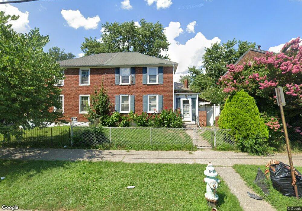
3078 Alabama Rd Camden, NJ 08104
Fairview NeighborhoodEstimated Value: $129,449 - $201,000
--
Bed
--
Bath
1,184
Sq Ft
$138/Sq Ft
Est. Value
About This Home
This home is located at 3078 Alabama Rd, Camden, NJ 08104 and is currently estimated at $163,112, approximately $137 per square foot. 3078 Alabama Rd is a home located in Camden County with nearby schools including Yorkship Elementary School and Camden High School.
Ownership History
Date
Name
Owned For
Owner Type
Purchase Details
Closed on
Aug 20, 2008
Sold by
Kinard Latanja L
Bought by
Kinard Latanja L and Kinard Channell
Current Estimated Value
Purchase Details
Closed on
Jul 14, 1995
Sold by
Neumane Daniel
Bought by
Kinard Keith and Kinard Lamanja
Home Financials for this Owner
Home Financials are based on the most recent Mortgage that was taken out on this home.
Original Mortgage
$44,000
Interest Rate
7.49%
Create a Home Valuation Report for This Property
The Home Valuation Report is an in-depth analysis detailing your home's value as well as a comparison with similar homes in the area
Home Values in the Area
Average Home Value in this Area
Purchase History
| Date | Buyer | Sale Price | Title Company |
|---|---|---|---|
| Kinard Latanja L | -- | -- | |
| Kinard Keith | $45,900 | -- |
Source: Public Records
Mortgage History
| Date | Status | Borrower | Loan Amount |
|---|---|---|---|
| Previous Owner | Kinard Keith | $44,000 |
Source: Public Records
Tax History Compared to Growth
Tax History
| Year | Tax Paid | Tax Assessment Tax Assessment Total Assessment is a certain percentage of the fair market value that is determined by local assessors to be the total taxable value of land and additions on the property. | Land | Improvement |
|---|---|---|---|---|
| 2025 | $2,377 | $67,100 | $15,800 | $51,300 |
| 2024 | $2,298 | $67,100 | $15,800 | $51,300 |
| 2023 | $2,298 | $67,100 | $15,800 | $51,300 |
| 2022 | $2,255 | $67,100 | $15,800 | $51,300 |
| 2021 | $2,247 | $67,100 | $15,800 | $51,300 |
| 2020 | $2,134 | $67,100 | $15,800 | $51,300 |
| 2019 | $2,043 | $67,100 | $15,800 | $51,300 |
| 2018 | $2,032 | $67,100 | $15,800 | $51,300 |
| 2017 | $1,983 | $67,100 | $15,800 | $51,300 |
| 2016 | $1,920 | $67,100 | $15,800 | $51,300 |
| 2015 | $1,848 | $67,100 | $15,800 | $51,300 |
| 2014 | $1,804 | $67,100 | $15,800 | $51,300 |
Source: Public Records
Map
Nearby Homes
- 3044 N Merrimac Rd
- 1433 N Chesapeake Rd
- 3079 Alabama Rd
- 2931 N Constitution Rd
- 3156 Alabama Rd
- 3069 S Chesapeake Rd
- 1333 Argus Rd
- 2930 N Merrimac Rd
- 1316 S Merrimac Rd
- 1300 S Merrimac Rd
- 3120 S Constitution Rd
- 3069 S Congress Rd
- 1261 S Merrimac Rd
- 1623 Olympia Rd
- 3204 Alabama Rd
- 2845 N Constitution Rd
- 1662 Minnesota Rd
- 2909 Yorkship Rd
- 1315 Grant Ave
- 2828 Yorkship Rd Unit 1
- 1376 Roanoke Rd
- 1401 Collings Rd
- 1402 Roanoke Rd
- 1403 Collings Rd
- 1409 Collings Rd
- 1375 Roanoke Rd
- 1411 Collings Rd
- 1397 Roanoke Rd
- 1410 Roanoke Rd
- 1413 Collings Rd
- 3070 Alabama Rd
- 1395 Collings Rd
- 1415 Collings Rd
- 3015 Hartford Rd
- 1412 Roanoke Rd
- 1417 Collings Rd
- 3064 Alabama Rd
- 3081 Alabama Rd
- 3016 Hartford Rd
- 1419 Collings Rd