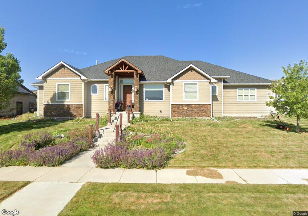
3078 Porthos Ct Pocatello, ID 83204
South Pocatello NeighborhoodEstimated Value: $597,000 - $776,000
6
Beds
4
Baths
4,338
Sq Ft
$158/Sq Ft
Est. Value
About This Home
This home is located at 3078 Porthos Ct, Pocatello, ID 83204 and is currently estimated at $687,097, approximately $158 per square foot. 3078 Porthos Ct is a home located in Bannock County with nearby schools including Washington Elementary School, Franklin Middle School, and Century High School.
Ownership History
Date
Name
Owned For
Owner Type
Purchase Details
Closed on
Jan 18, 2008
Sold by
Wildlife Ridge Estates Llc
Bought by
Davids William and Davids Sarah
Current Estimated Value
Home Financials for this Owner
Home Financials are based on the most recent Mortgage that was taken out on this home.
Original Mortgage
$391,500
Interest Rate
4.82%
Mortgage Type
Purchase Money Mortgage
Create a Home Valuation Report for This Property
The Home Valuation Report is an in-depth analysis detailing your home's value as well as a comparison with similar homes in the area
Home Values in the Area
Average Home Value in this Area
Purchase History
| Date | Buyer | Sale Price | Title Company |
|---|---|---|---|
| Davids William | -- | Poneer Title Co |
Source: Public Records
Mortgage History
| Date | Status | Borrower | Loan Amount |
|---|---|---|---|
| Previous Owner | Davids William | $391,500 |
Source: Public Records
Tax History Compared to Growth
Tax History
| Year | Tax Paid | Tax Assessment Tax Assessment Total Assessment is a certain percentage of the fair market value that is determined by local assessors to be the total taxable value of land and additions on the property. | Land | Improvement |
|---|---|---|---|---|
| 2024 | $6,160 | $635,452 | $74,000 | $561,452 |
| 2023 | $6,967 | $665,146 | $74,000 | $591,146 |
| 2022 | $6,967 | $508,206 | $60,000 | $448,206 |
| 2021 | $6,407 | $508,206 | $60,000 | $448,206 |
| 2020 | $4,934 | $415,468 | $48,600 | $366,868 |
| 2019 | $6,326 | $429,111 | $60,000 | $369,111 |
| 2018 | $5,574 | $352,807 | $40,000 | $312,807 |
| 2017 | $5,531 | $352,807 | $40,000 | $312,807 |
| 2016 | $5,597 | $352,807 | $40,000 | $312,807 |
| 2015 | $5,767 | $0 | $0 | $0 |
| 2012 | -- | $356,729 | $40,000 | $316,729 |
Source: Public Records
Map
Nearby Homes
- 3035 Dewinter Dr
- 3150 Dartagnan Dr
- 1365 Barton Rd
- 1176 Swisher Rd
- TBD Short Ave
- 3457 Jason Ave
- TBD Connard Lot 2
- TBD Connard Lot 1 2 & 3
- TBD Connard Lot 3
- TBD #02 Connard Ave Unit Lot 2
- TBD#03 Connard Ave Unit Lot 3
- TBD1,2,3 Connard Ave Unit 1,2,3
- 4290 Stockman Rd
- 1164 Jasper Loop Unit 2
- 1164 Jasper Loop
- 845 Barton Rd Unit 36
- 845 Barton Rd Unit 71
- 845 Barton Rd
- 845 Barton Rd Unit 112
- 4053 Nora St
- 3050 Porthos Ct
- 1490 Aramis
- 3073 Porthos Ct
- 1456 Aramis
- 3045 Porthos Ct
- 3014 Porthos Ct
- TBD Aramis Dr
- 1420 Aramis
- 3082 Athos Dr
- 3048 Athos Dr
- 3011 Porthos Ct
- 3008 Dewinter Dr
- 3024 Dewinter Dr
- 3030ac Dewinter Dr
- 3030 Athos Dr
- 3006 Athos Dr
- 3278 Dartagnan Dr
- 3134 Dartagnan Dr
- 1375 Aramis
- 3077 Athos Dr