3078 Quail Ln Ash Grove, MO 65604
West Springfield NeighborhoodEstimated Value: $318,000 - $372,455
3
Beds
2
Baths
1,418
Sq Ft
$239/Sq Ft
Est. Value
About This Home
This home is located at 3078 Quail Ln, Ash Grove, MO 65604 and is currently estimated at $339,485, approximately $239 per square foot. 3078 Quail Ln is a home located in Greene County with nearby schools including Bois D'Arc Elementary School and Ash Grove High School.
Ownership History
Date
Name
Owned For
Owner Type
Purchase Details
Closed on
Jul 31, 2002
Sold by
Trent Donald E and Trent Diana S
Bought by
Gray Tyler
Current Estimated Value
Home Financials for this Owner
Home Financials are based on the most recent Mortgage that was taken out on this home.
Original Mortgage
$134,000
Interest Rate
3.1%
Mortgage Type
New Conventional
Create a Home Valuation Report for This Property
The Home Valuation Report is an in-depth analysis detailing your home's value as well as a comparison with similar homes in the area
Home Values in the Area
Average Home Value in this Area
Purchase History
| Date | Buyer | Sale Price | Title Company |
|---|---|---|---|
| Gray Tyler | -- | Waco Title Co Springfield |
Source: Public Records
Mortgage History
| Date | Status | Borrower | Loan Amount |
|---|---|---|---|
| Previous Owner | Gray Tyler | $134,000 |
Source: Public Records
Tax History Compared to Growth
Tax History
| Year | Tax Paid | Tax Assessment Tax Assessment Total Assessment is a certain percentage of the fair market value that is determined by local assessors to be the total taxable value of land and additions on the property. | Land | Improvement |
|---|---|---|---|---|
| 2025 | $1,714 | $40,260 | $7,520 | $32,740 |
| 2024 | $1,714 | $35,590 | $5,680 | $29,910 |
| 2023 | $1,707 | $35,590 | $5,680 | $29,910 |
| 2022 | $1,565 | $32,430 | $5,680 | $26,750 |
| 2021 | $1,560 | $32,430 | $5,680 | $26,750 |
| 2020 | $1,155 | $23,640 | $5,680 | $17,960 |
| 2019 | $1,151 | $23,640 | $5,680 | $17,960 |
| 2018 | $1,095 | $22,970 | $5,680 | $17,290 |
| 2017 | $1,083 | $22,970 | $5,680 | $17,290 |
| 2016 | $1,078 | $22,970 | $5,680 | $17,290 |
| 2015 | $1,075 | $22,970 | $5,680 | $17,290 |
| 2014 | $1,085 | $22,970 | $5,680 | $17,290 |
Source: Public Records
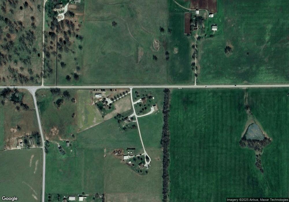
Map
Nearby Homes
- 2898 N Farm Road 17
- 3600 Farm Road 39
- 12697 W Farm Road 120
- Tbd W State Highway T
- Tracts 2 & 3 Farm Rd 35 & 39
- 000 W Farm Road 94 Tract 1
- 000 W Farm Rd 94 Tract 11
- 000 W Farm Road 94 Tract 10
- 000 W
- 720 N State Highway F
- 000 W Farm Road 94 Tract 9
- 000 W Farm Road 116 - Tract 3
- 415 S Piper Ave
- 2459 N Farm Road 63
- 806 E Grant St
- 203 E Prairie Ln
- 300 S High Ave
- 606 E Prairie Ln
- 502 W Mill St
- 000 N State Highway Uu
- 3078 N Quail Ln
- 3031 Quail Ln
- 3123 Quail Ln
- 3292 N Oakleaf Ln
- 3002 Quail Ln
- 3002 Quail Ln
- 3082 N State Highway F
- 2970 N State Highway F
- 2869 N State Highway F
- 13298 W State Highway T
- 13661 W Wild Rose Ln
- 3015 N State Highway F
- 13638 W Wild Rose Ln
- 13662 W Wild Rose Ln
- 13686 W Wild Rose Ln
- 13151 W State Highway T
- 3001 N Farm Road 25
- 13705 W State Highway T
- 3127 N State Highway F
- 2953 N Farm Road 25