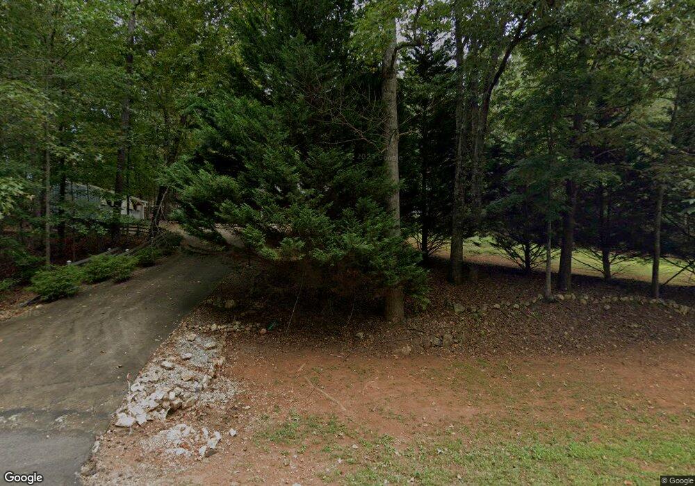
3079 Auraria Rd Dahlonega, GA 30533
Estimated Value: $246,259 - $469,000
--
Bed
2
Baths
1,512
Sq Ft
$234/Sq Ft
Est. Value
About This Home
This home is located at 3079 Auraria Rd, Dahlonega, GA 30533 and is currently estimated at $353,065, approximately $233 per square foot. 3079 Auraria Rd is a home located in Lumpkin County with nearby schools including Lumpkin County High School.
Ownership History
Date
Name
Owned For
Owner Type
Purchase Details
Closed on
May 24, 2007
Sold by
Not Provided
Bought by
Corrigan Francis J
Current Estimated Value
Purchase Details
Closed on
Oct 13, 1998
Sold by
Roper Larry H
Bought by
Corrigan Francis J
Purchase Details
Closed on
Mar 23, 1998
Sold by
Roper Larry H
Bought by
Roper Larry H
Purchase Details
Closed on
Sep 30, 1992
Sold by
Hill Donnie R
Bought by
Roper Larry H
Purchase Details
Closed on
Jan 9, 1990
Sold by
Norrell Roy A
Bought by
Hill Donnie R
Purchase Details
Closed on
Feb 18, 1988
Sold by
Norrell Walter
Bought by
Norrell Roy A
Create a Home Valuation Report for This Property
The Home Valuation Report is an in-depth analysis detailing your home's value as well as a comparison with similar homes in the area
Home Values in the Area
Average Home Value in this Area
Purchase History
| Date | Buyer | Sale Price | Title Company |
|---|---|---|---|
| Corrigan Francis J | -- | -- | |
| Corrigan Francis J | $96,000 | -- | |
| Roper Larry H | -- | -- | |
| Roper Larry H | $70,000 | -- | |
| Hill Donnie R | $67,000 | -- | |
| Norrell Roy A | $15,000 | -- |
Source: Public Records
Tax History Compared to Growth
Tax History
| Year | Tax Paid | Tax Assessment Tax Assessment Total Assessment is a certain percentage of the fair market value that is determined by local assessors to be the total taxable value of land and additions on the property. | Land | Improvement |
|---|---|---|---|---|
| 2024 | $11 | $69,193 | $8,860 | $60,333 |
| 2023 | $0 | $64,440 | $8,280 | $56,160 |
| 2022 | $1,447 | $58,464 | $6,900 | $51,564 |
| 2021 | $1,401 | $49,367 | $6,900 | $42,467 |
| 2020 | $1,357 | $47,842 | $6,612 | $41,230 |
| 2019 | $1,357 | $47,842 | $6,612 | $41,230 |
| 2018 | $1,220 | $43,017 | $6,612 | $36,405 |
| 2017 | $0 | $41,754 | $6,612 | $35,142 |
| 2016 | $1,038 | $37,050 | $6,612 | $30,438 |
| 2015 | -- | $37,050 | $6,612 | $30,438 |
| 2014 | -- | $37,845 | $6,612 | $31,233 |
| 2013 | -- | $38,242 | $6,612 | $31,630 |
Source: Public Records
Map
Nearby Homes
- 3149 Auraria Rd
- 251 Bearslide Hollow
- Lot 5 Still Rd
- 0 Honey Tree Terrace Unit 10448792
- 0 Honey Tree Terrace Unit 7516071
- 0 Falling Pines Rd Unit 10643861
- 0 Falling Pines Rd Unit 7681028
- 120 Rivermont Ln
- 191 Sleepy Hollow Rd
- 775 Crooked Creek Dr
- 15 Baker St
- 190 Grand Oak Ln
- 1047 Nugget Ct
- 1170 Calhoun Rd
- 1415 Calhoun Rd
- 103 Rainmore Dr
- 239 Castleberry Ln
- 0 Rainmore Dr Unit 7620063
- 0 Rainmore Dr Unit 10570615
- 735 Calhoun Rd
- 3059 Auraria Rd
- 3123 Auraria Rd
- 7066 Auraria Rd
- 3103 Auraria Rd
- 3107 Ben Higgins Rd
- 3017 Auraria Rd
- 3103 Ben Higgins Rd
- 3169 Auraria Rd
- 3105 Ben Higgins Rd
- 180 Harms Rd
- 3000 Auraria Rd
- 3101 Ben Higgins Rd
- 2964 Auraria Rd
- 107 Harms Rd
- 3097 Ben Higgins Rd
- 239 Harms Rd
- 2911 Auraria Rd
- 3095 Ben Higgins Rd
- 2910 Auraria Rd
- 3318 Auraria Rd
