308 Althea Ct Bel Air, MD 21015
Estimated payment $2,328/month
Highlights
- Colonial Architecture
- 1 Fireplace
- Heat Pump System
- Emmorton Elementary School Rated A-
- Cooling Available
About This Home
Center unit with a new roof and updated kitchen and baths coming soon!
Listing Agent
(410) 465-1770 shalinigidwani@northroprealty.com Northrop Realty Brokerage Phone: 4104651770 Listed on: 03/06/2026

Townhouse Details
Home Type
- Townhome
Est. Annual Taxes
- $2,775
Year Built
- Built in 1992
Lot Details
- 2,200 Sq Ft Lot
HOA Fees
- $89 Monthly HOA Fees
Home Design
- Colonial Architecture
Interior Spaces
- Property has 2 Levels
- 1 Fireplace
- Walk-Out Basement
Kitchen
- Stove
- Microwave
- Dishwasher
- Disposal
Bedrooms and Bathrooms
- 3 Bedrooms
Home Security
Parking
- Assigned parking located at #308
- Parking Lot
- 2 Assigned Parking Spaces
Schools
- Emmorton Elementary School
- Bel Air Middle School
- Bel Air High School
Utilities
- Cooling Available
- Heat Pump System
- Electric Water Heater
Listing and Financial Details
- Coming Soon on 3/13/26
- Tax Lot 143
- Assessor Parcel Number 1301232320
Community Details
Overview
- Association fees include trash, common area maintenance
- Country Walk Subdivision
Security
- Fire and Smoke Detector
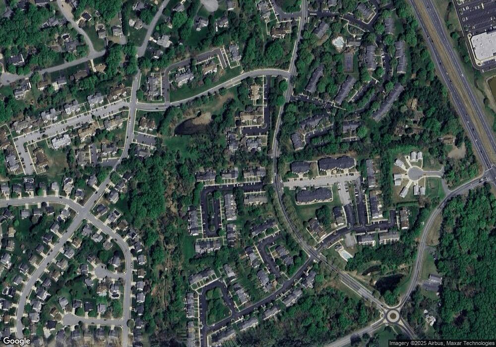
Map
Home Values in the Area
Average Home Value in this Area
Tax History
| Year | Tax Paid | Tax Assessment Tax Assessment Total Assessment is a certain percentage of the fair market value that is determined by local assessors to be the total taxable value of land and additions on the property. | Land | Improvement |
|---|---|---|---|---|
| 2025 | $2,541 | $254,567 | $0 | $0 |
| 2024 | $2,541 | $238,033 | $0 | $0 |
| 2023 | $2,414 | $221,500 | $70,000 | $151,500 |
| 2022 | $2,351 | $215,733 | $0 | $0 |
| 2021 | $4,703 | $209,967 | $0 | $0 |
| 2020 | $2,356 | $204,200 | $70,000 | $134,200 |
| 2019 | $954 | $203,333 | $0 | $0 |
| 2018 | $914 | $202,467 | $0 | $0 |
| 2017 | $968 | $201,600 | $0 | $0 |
| 2016 | $140 | $201,600 | $0 | $0 |
| 2015 | $2,737 | $201,600 | $0 | $0 |
| 2014 | $2,737 | $204,000 | $0 | $0 |
Purchase History
| Date | Type | Sale Price | Title Company |
|---|---|---|---|
| Deed | $262,000 | Old Republic National Title In | |
| Interfamily Deed Transfer | -- | None Available | |
| Deed | $113,700 | -- | |
| Deed | $147,500 | -- |
Mortgage History
| Date | Status | Loan Amount | Loan Type |
|---|---|---|---|
| Previous Owner | $57,650 | No Value Available |
Source: Bright MLS
MLS Number: MDHR2052024
APN: 01-232320
Disclaimer: Certain information contained herein is derived from information provided by parties other than Homes.com. All information provided is deemed reliable, but is not guaranteed to be accurate and should be independently verified.
![]() The data relating to real estate for sale on this website appears in part through the BRIGHT Internet Data Exchange program, a voluntary cooperative exchange of property listing data between licensed real estate brokerage firms, and is provided by BRIGHT through a licensing agreement.
The data relating to real estate for sale on this website appears in part through the BRIGHT Internet Data Exchange program, a voluntary cooperative exchange of property listing data between licensed real estate brokerage firms, and is provided by BRIGHT through a licensing agreement.
Listing information is from various brokers who participate in the Bright MLS IDX program and not all listings may be visible on the site.
The property information being provided on or through the website is for the personal, non-commercial use of consumers and such information may not be used for any purpose other than to identify prospective properties consumers may be interested in purchasing.
Some properties which appear for sale on the website may no longer be available because they are for instance, under contract, sold or are no longer being offered for sale.
Property information displayed is deemed reliable but is not guaranteed.
Copyright 2026 Bright MLS, Inc.
- 201 Burkwood Ct
- 202 Burkwood Ct
- 2310 Bell's Tower Ct
- 2204 Autumn Glow Ct
- 504 Winter Span Ct
- 400 Teresa Marie Ct
- 2300 Arthurs Woods Dr
- 200 Temple Dr
- 1610 S Tollgate Rd
- 419 Clydebank Dr
- 2815 Lanarkshire Way
- 0 W Wheel Rd Unit MDHR2045912
- 400 Hazelnut Ct Unit D
- 566 Kirkcaldy Way
- 140 Royal Oak Dr Unit 140-C
- 200 Maple Wreath Ct
- 301 Lothian Way Unit 104
- 1604 S Tollgate Rd
- 211 E Wheel Rd
- 1909 Glenroths Dr
- 200 Foxhall Dr
- 442 Darby Ln
- 321 Russo Way
- 301 Tiree Ct Unit 402
- 12 Oak Crest Ct
- 1 Wye Oak Dr Unit 1-D
- 711 Perthshire Place
- 2900 Lomond Place Unit 74
- 125 Laurel Valley Ct
- 358 Delmar Ct
- 646 Milford Ct
- 3365 Cheverly Ct
- 3302 Trellis Ln
- 203 Star Pointe Ct Unit 1A
- 201 Star Pointe Ct Unit 1C
- 201 Windmille Pointe Ct Unit 1D
- 499 Crisfield Dr
- 610 Snapdragon Ct
- 424 Crisfield Dr
- 3101 White Oak Dr
Ask me questions while you tour the home.