308 Buckeye Ridge Loop Deville, LA 71328
Estimated Value: $265,808 - $357,000
Studio
--
Bath
--
Sq Ft
43,604
Sq Ft Lot
About This Home
This home is located at 308 Buckeye Ridge Loop, Deville, LA 71328 and is currently estimated at $305,452. 308 Buckeye Ridge Loop is a home with nearby schools including Buckeye Elementary School, Hayden R. Lawrence Upper Elementary School, and Buckeye High School.
Ownership History
Date
Name
Owned For
Owner Type
Purchase Details
Closed on
Nov 20, 2014
Sold by
Price Right Properties Llc
Bought by
Anderson Brian K and Anderson Cheryl W
Current Estimated Value
Home Financials for this Owner
Home Financials are based on the most recent Mortgage that was taken out on this home.
Original Mortgage
$196,650
Outstanding Balance
$151,415
Interest Rate
4.14%
Mortgage Type
New Conventional
Estimated Equity
$154,037
Create a Home Valuation Report for This Property
The Home Valuation Report is an in-depth analysis detailing your home's value as well as a comparison with similar homes in the area
Purchase History
| Date | Buyer | Sale Price | Title Company |
|---|---|---|---|
| Anderson Brian K | $210,867 | -- |
Source: Public Records
Mortgage History
| Date | Status | Borrower | Loan Amount |
|---|---|---|---|
| Open | Anderson Brian K | $196,650 |
Source: Public Records
Tax History
| Year | Tax Paid | Tax Assessment Tax Assessment Total Assessment is a certain percentage of the fair market value that is determined by local assessors to be the total taxable value of land and additions on the property. | Land | Improvement |
|---|---|---|---|---|
| 2024 | $1,811 | $23,200 | $2,400 | $20,800 |
| 2023 | $1,706 | $22,100 | $2,300 | $19,800 |
| 2022 | $2,592 | $22,100 | $2,300 | $19,800 |
| 2021 | $2,570 | $22,100 | $2,300 | $19,800 |
| 2020 | $2,989 | $22,100 | $2,300 | $19,800 |
| 2019 | $2,840 | $21,100 | $2,200 | $18,900 |
| 2018 | $1,942 | $21,100 | $2,200 | $18,900 |
| 2017 | $2,010 | $21,100 | $2,200 | $18,900 |
| 2016 | $3,203 | $21,100 | $2,200 | $18,900 |
| 2015 | $3,223 | $21,087 | $2,202 | $18,885 |
| 2014 | $337 | $2,202 | $0 | $0 |
| 2013 | $361 | $2,202 | $0 | $0 |
Source: Public Records
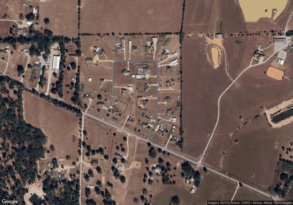
Map
Nearby Homes
- 750 Sunrise Dr
- 0 Hwy 1207
- 12835 Mill Pond Rd
- 798 (Lot 21) Sunrise Dr
- 734 (Lot 24) Sunrise Dr
- 793 (Lot 20) Sunrise Dr
- 361 Elmus Paul Rd
- 567 Nation Rd
- 11894 Highway 28 E
- 11160 Highway 28 E
- 40 Downs Dr
- 580 Elmus Paul Rd
- 0B Philadelphia Rd
- 0A Philadelphia Rd
- 0 Hazmuka Rd
- TBD Deville Estates Dr
- 1019 Jag Rd
- 6528 Magnolia Rd
- 7223 Deville Estates Dr
- 0 Louisiana 115 Unit 2517300
- 303 Buckeye Ridge Dr
- 0 Buckeye Ridge Dr
- 306 Buckeye Ridge Loop
- 261 Louisiana 1207
- 319 Buckeye Ridge Loop
- 300 Buckeye Ridge Loop
- 321 Buckeye Ridge Loop
- 317 Buckeye Ridge Loop
- 271 Highway 1207
- 271 Highway 1207
- 269 Highway 1207
- 275 Highway 1207
- 245 Louisiana 1207
- 304 Buckeye Ridge Loop
- 302 Buckeye Ridge Loop
- 261 Highway 1207
- 315 Buckeye Ridge Loop
- 235 Highway 1207
- 253 Highway 1207
- 311 Buckeye Ridge Loop
Your Personal Tour Guide
Ask me questions while you tour the home.