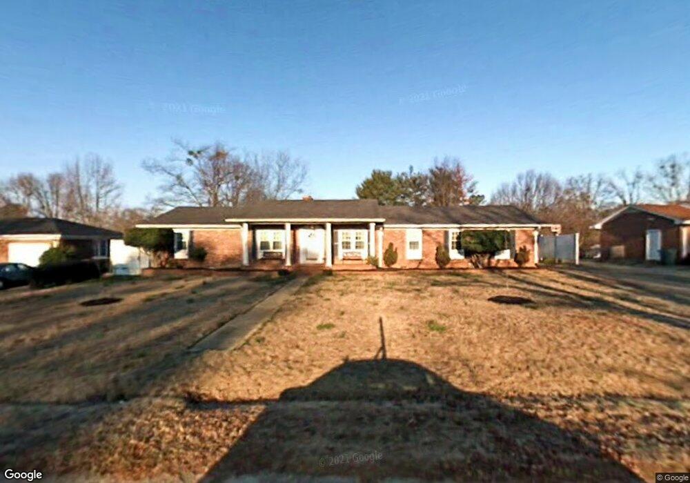
308 Garrett St Mauldin, SC 29662
Estimated Value: $285,000 - $338,000
3
Beds
2
Baths
2,000
Sq Ft
$157/Sq Ft
Est. Value
About This Home
This home is located at 308 Garrett St, Mauldin, SC 29662 and is currently estimated at $314,507, approximately $157 per square foot. 308 Garrett St is a home located in Greenville County with nearby schools including Greenbrier Elementary School, Hillcrest Middle School, and Mauldin High School.
Ownership History
Date
Name
Owned For
Owner Type
Purchase Details
Closed on
Apr 11, 2017
Sold by
Ligon Jerry
Bought by
Sanders Nashea Harris
Current Estimated Value
Home Financials for this Owner
Home Financials are based on the most recent Mortgage that was taken out on this home.
Original Mortgage
$181,550
Outstanding Balance
$149,162
Interest Rate
4.1%
Estimated Equity
$165,345
Purchase Details
Closed on
Oct 21, 2016
Sold by
Wilmington Savings Fund Society Fsb
Bought by
Ligon Jerry
Purchase Details
Closed on
Jul 19, 2016
Sold by
Compton William Hugh and Compton William H
Bought by
Wilmington Savings Fund Society Fsb
Create a Home Valuation Report for This Property
The Home Valuation Report is an in-depth analysis detailing your home's value as well as a comparison with similar homes in the area
Home Values in the Area
Average Home Value in this Area
Purchase History
We collect this data history from publicly available records. To have your information removed, we recommend requesting removal directly through your county’s website.
| Date | Buyer | Sale Price | Title Company |
|---|---|---|---|
| Sanders Nashea Harris | $184,900 | None Available | |
| Ligon Jerry | $110,000 | None Available | |
| Wilmington Savings Fund Society Fsb | $14,000 | None Available |
Source: Public Records
Mortgage History
We collect this data history from publicly available records. To have your information removed, we recommend requesting removal directly through your county’s website.
| Date | Status | Borrower | Loan Amount |
|---|---|---|---|
| Open | Sanders Nashea Harris | $181,550 |
Source: Public Records
Tax History
| Year | Tax Paid | Tax Assessment Tax Assessment Total Assessment is a certain percentage of the fair market value that is determined by local assessors to be the total taxable value of land and additions on the property. | Land | Improvement |
|---|---|---|---|---|
| 2025 | $1,359 | $8,200 | $2,270 | $5,930 |
| 2024 | $1,359 | $7,130 | $900 | $6,230 |
| 2023 | $1,303 | $7,130 | $900 | $6,230 |
| 2022 | $1,227 | $7,130 | $900 | $6,230 |
| 2021 | $1,228 | $7,130 | $900 | $6,230 |
| 2020 | $1,257 | $6,910 | $660 | $6,250 |
| 2019 | $1,258 | $6,910 | $660 | $6,250 |
| 2018 | $1,255 | $6,910 | $660 | $6,250 |
| 2017 | $2,366 | $7,370 | $990 | $6,380 |
| 2016 | $866 | $122,760 | $16,500 | $106,260 |
| 2015 | $866 | $122,760 | $16,500 | $106,260 |
| 2014 | $895 | $127,770 | $19,500 | $108,270 |
Source: Public Records
Map
Nearby Homes
- 122 Whitestone Ave
- 456 Bishop Dr
- 423 Twist Cir
- 464 Bishop Dr
- 26 Sikes Cir
- 103 Ridan Rd
- 147 Trailside Ln
- 123 Trailside Ln
- 311 Whatley Cir
- 306 Nantallah Trail
- 407 Fielder Way
- 323 Pinehurst Dr
- 412 Fielder Way
- 27 Whitts Forge Ln
- 3 Old Hastings Ct
- 5 Mercy Dr
- 3 Mercy Dr
- 101 Laport Dr
- 12 Mercy Dr
- 6 Mercy Dr
Your Personal Tour Guide
Ask me questions while you tour the home.