308 Gunntown Rd Naugatuck, CT 06770
Estimated Value: $642,306
--
Bed
1
Bath
4,770
Sq Ft
$135/Sq Ft
Est. Value
About This Home
This home is located at 308 Gunntown Rd, Naugatuck, CT 06770 and is currently estimated at $642,306, approximately $134 per square foot. 308 Gunntown Rd is a home located in New Haven County with nearby schools including City Hill Middle School and Naugatuck High School.
Ownership History
Date
Name
Owned For
Owner Type
Purchase Details
Closed on
May 22, 1992
Sold by
Wilmot Louis and Wilmot David
Bought by
Pereira Jose and Pereira Carroll
Current Estimated Value
Home Financials for this Owner
Home Financials are based on the most recent Mortgage that was taken out on this home.
Original Mortgage
$115,000
Interest Rate
8.77%
Mortgage Type
Purchase Money Mortgage
Create a Home Valuation Report for This Property
The Home Valuation Report is an in-depth analysis detailing your home's value as well as a comparison with similar homes in the area
Home Values in the Area
Average Home Value in this Area
Purchase History
| Date | Buyer | Sale Price | Title Company |
|---|---|---|---|
| Pereira Jose | $150,000 | -- |
Source: Public Records
Mortgage History
| Date | Status | Borrower | Loan Amount |
|---|---|---|---|
| Closed | Pereira Jose | $260,000 | |
| Closed | Pereira Jose | $115,000 |
Source: Public Records
Tax History Compared to Growth
Tax History
| Year | Tax Paid | Tax Assessment Tax Assessment Total Assessment is a certain percentage of the fair market value that is determined by local assessors to be the total taxable value of land and additions on the property. | Land | Improvement |
|---|---|---|---|---|
| 2025 | $3,702 | $93,030 | $79,310 | $13,720 |
| 2024 | $5,090 | $121,800 | $108,080 | $13,720 |
| 2023 | $5,451 | $121,800 | $108,080 | $13,720 |
| 2022 | $5,578 | $116,810 | $110,430 | $6,380 |
| 2021 | $5,578 | $116,810 | $110,430 | $6,380 |
| 2020 | $5,578 | $116,810 | $110,430 | $6,380 |
| 2019 | $5,519 | $116,810 | $110,430 | $6,380 |
| 2018 | $4,702 | $97,250 | $91,080 | $6,170 |
| 2017 | $4,721 | $97,250 | $91,080 | $6,170 |
| 2016 | $4,636 | $97,250 | $91,080 | $6,170 |
Source: Public Records
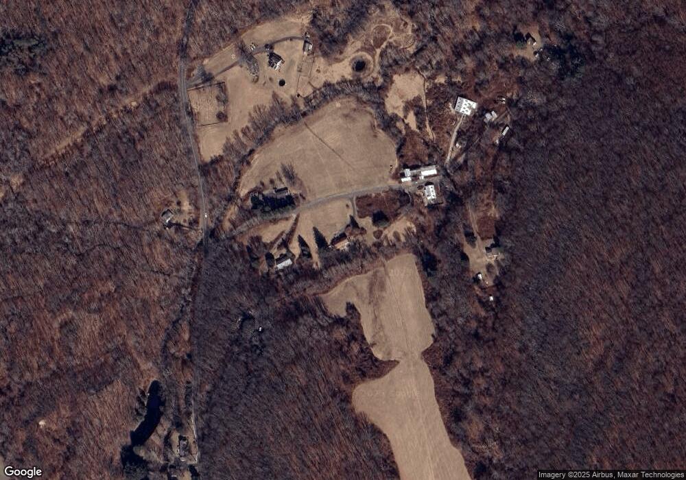
Map
Nearby Homes
- 76 Towantic Hill Rd
- 440 Lake Shore Dr
- 35 Crofut Rd
- 0 Westover Dr
- 24 Lake Dr
- 27 Towantic Hill Rd
- 712 Championship Dr Unit 712
- Sawgrass Plan at The Bridges at Oxford Greens
- Pinehurst Plan at The Bridges at Oxford Greens
- 1115 Saint Andrews Dr Unit Lot 18
- Bethpage Plan at The Bridges at Oxford Greens
- 578 Putting Green Ln
- 39 Shadduck Rd
- 243 Stonefence Rd
- 930 Tillinghast Dr Unit 930
- 66 Farmstead Ln
- 671 Rubber Ave
- 1070 Long Meadow Rd
- 650 Millville Ave
- 117 Stonefence Rd
- 308 Gunntown Rd
- 308 Gunntown Rd Unit E
- 308 Gunntown Rd
- 308 Gunntown Rd
- 308 Gunntown Rd
- 344 Gunntown Rd
- 216 Gunntown Rd
- 723 Gunntown Rd
- 717 Gunntown Rd
- 739 Gunntown Rd
- 710 Gunntown Rd
- 709 Gunntown Rd
- 699 Gunntown Rd
- 14 Long Meadow Rd
- 122 Towantic Hill Rd
- 438 Gunntown Rd
- 30 Griswold Rd
- 440 Gunntown Rd
- 38 Long Meadow Rd
- 60 Gunntown Rd