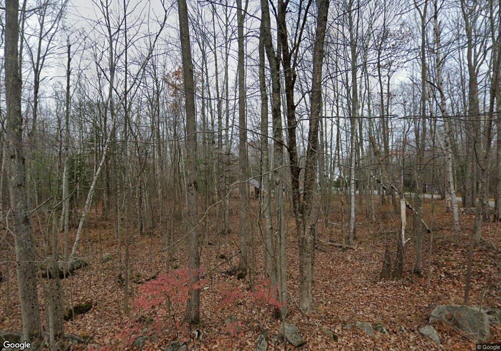
308 Hight Rd Dayton, ME 04005
Dayton NeighborhoodEstimated Value: $437,528 - $580,000
3
Beds
1
Bath
896
Sq Ft
$542/Sq Ft
Est. Value
About This Home
This home is located at 308 Hight Rd, Dayton, ME 04005 and is currently estimated at $485,882, approximately $542 per square foot. 308 Hight Rd is a home with nearby schools including Dayton Consolidated School.
Ownership History
Date
Name
Owned For
Owner Type
Purchase Details
Closed on
Jun 30, 2025
Sold by
Robinson Dana F and Robinson Carol A
Bought by
Robinson Dana F and Robinson Carol A
Current Estimated Value
Home Financials for this Owner
Home Financials are based on the most recent Mortgage that was taken out on this home.
Original Mortgage
$170,000
Outstanding Balance
$169,569
Interest Rate
6.81%
Mortgage Type
New Conventional
Estimated Equity
$316,313
Purchase Details
Closed on
Oct 9, 2024
Sold by
Robinson Dana F and Robinson Carol A
Bought by
Robinson Kiefer J
Create a Home Valuation Report for This Property
The Home Valuation Report is an in-depth analysis detailing your home's value as well as a comparison with similar homes in the area
Home Values in the Area
Average Home Value in this Area
Purchase History
| Date | Buyer | Sale Price | Title Company |
|---|---|---|---|
| Robinson Dana F | -- | None Available | |
| Robinson Dana F | -- | None Available | |
| Robinson Kiefer J | -- | None Available | |
| Robinson Kiefer J | -- | None Available | |
| Robinson Kiefer J | -- | None Available |
Source: Public Records
Mortgage History
| Date | Status | Borrower | Loan Amount |
|---|---|---|---|
| Open | Robinson Dana F | $170,000 |
Source: Public Records
Tax History Compared to Growth
Tax History
| Year | Tax Paid | Tax Assessment Tax Assessment Total Assessment is a certain percentage of the fair market value that is determined by local assessors to be the total taxable value of land and additions on the property. | Land | Improvement |
|---|---|---|---|---|
| 2022 | $3,708 | $261,300 | $91,000 | $170,300 |
| 2021 | $3,708 | $261,300 | $91,000 | $170,300 |
| 2020 | $3,704 | $261,000 | $91,000 | $170,000 |
| 2019 | $3,539 | $261,000 | $91,000 | $170,000 |
| 2018 | $3,456 | $241,000 | $73,000 | $168,000 |
| 2017 | $3,345 | $212,400 | $62,000 | $150,400 |
| 2016 | $3,402 | $167,900 | $46,000 | $121,900 |
| 2015 | $3,487 | $167,900 | $46,000 | $121,900 |
| 2014 | -- | $167,900 | $46,000 | $121,900 |
| 2007 | -- | $149,070 | $0 | $0 |
Source: Public Records
Map
Nearby Homes
- 25-2 K and M Way
- 17 John Clark Rd
- 11 Tide Water Dr
- 12 Tide Water Dr
- 10 Tide Water Dr
- 3 Tide Water Dr
- 203 Gould Rd
- 131 Gould Rd
- 62 Nichols Ln
- 213 Barkers Pond Rd
- 12 Salmon Falls Rd
- 668 Hollis Rd
- 9 Bar Mills Rd
- 142 Bar Mills Rd
- 57 Reagan Lynn Rd
- 80 Diamond Ln
- 37 Boynton Rd
- 101 Simpson Rd
- 9 Atkinson Ln
- 0 Beech Plains Rd
