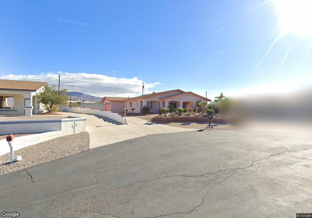
308 Hound Cir Lake Havasu City, AZ 86404
Estimated Value: $389,494 - $516,000
--
Bed
1
Bath
1,558
Sq Ft
$309/Sq Ft
Est. Value
About This Home
This home is located at 308 Hound Cir, Lake Havasu City, AZ 86404 and is currently estimated at $481,874, approximately $309 per square foot. 308 Hound Cir is a home located in Mohave County with nearby schools including Havasupai Elementary School, Thunderbolt Middle School, and Lake Havasu High School.
Ownership History
Date
Name
Owned For
Owner Type
Purchase Details
Closed on
Mar 24, 2003
Sold by
Andrews William C and Andrews Brenda K
Bought by
Coppola Phillip J and Mellinger Gwen
Current Estimated Value
Home Financials for this Owner
Home Financials are based on the most recent Mortgage that was taken out on this home.
Original Mortgage
$144,000
Outstanding Balance
$60,638
Interest Rate
5.6%
Mortgage Type
New Conventional
Estimated Equity
$421,236
Purchase Details
Closed on
Jun 28, 2000
Sold by
Cause John and Cause Jean A
Bought by
Andrews William C and Andrews Brenda K
Create a Home Valuation Report for This Property
The Home Valuation Report is an in-depth analysis detailing your home's value as well as a comparison with similar homes in the area
Home Values in the Area
Average Home Value in this Area
Purchase History
| Date | Buyer | Sale Price | Title Company |
|---|---|---|---|
| Coppola Phillip J | $160,000 | Transnation Title Insurance | |
| Andrews William C | $130,000 | Transnation Title Insurance |
Source: Public Records
Mortgage History
| Date | Status | Borrower | Loan Amount |
|---|---|---|---|
| Open | Coppola Phillip J | $144,000 |
Source: Public Records
Tax History Compared to Growth
Tax History
| Year | Tax Paid | Tax Assessment Tax Assessment Total Assessment is a certain percentage of the fair market value that is determined by local assessors to be the total taxable value of land and additions on the property. | Land | Improvement |
|---|---|---|---|---|
| 2026 | -- | -- | -- | -- |
| 2025 | $1,786 | $37,574 | $0 | $0 |
| 2024 | $1,786 | $39,873 | $0 | $0 |
| 2023 | $1,786 | $33,948 | $0 | $0 |
| 2022 | $1,709 | $23,497 | $0 | $0 |
| 2021 | $1,882 | $22,708 | $0 | $0 |
| 2019 | $1,788 | $19,613 | $0 | $0 |
| 2018 | $1,727 | $18,532 | $0 | $0 |
| 2017 | $1,710 | $17,956 | $0 | $0 |
| 2016 | $1,549 | $17,849 | $0 | $0 |
| 2015 | $1,484 | $15,275 | $0 | $0 |
Source: Public Records
Map
Nearby Homes
- 3410 Kiowa Blvd S
- 3461 Antelope Dr
- 3351 Kiowa Blvd S
- 3550 Tecumseh Dr
- 3501 Amberwood Place
- 3493 Mitchell Ln
- 3390 Amberwood Ave
- 3446 S Amberwood Bay
- 3525 Kiowa Blvd S
- 3306 Kiowa Blvd S
- 3504 Pioneer Dr
- 3210 Crestview Dr
- 3381 El Dorado Ave N
- 3410 El Dorado Ave N
- 3180 Maracaibo Dr
- 340 Opossum Dr
- 3413 Landau Ln
- 3437 Laredo Ln
- 3250 El Dorado Ave N
- 3098 Wrangler Ln S
- 306 Hound Cir
- 306 Hound Cir
- 3407 Kiowa Blvd S
- 3401 Kiowa Blvd S
- 301 Hound Dr
- 301 Hound Dr
- 307 Hound Cir
- 307 Hound Cir
- 309 Hound Cir
- 311 Hound Cir
- 3395 Iroquois Dr
- 3391 Iroquois Dr
- 3397 Iroquois Dr
- 313 Hound Dr
- 3387 Iroquois Dr
- 3419 Kiowa Blvd S
- 330 Hound Dr
- 3420 Kiowa Blvd S
- 3420 Kiowa Blvd S
- 310 Hound Dr