Estimated Value: $423,000 - $577,000
4
Beds
3
Baths
4,081
Sq Ft
$129/Sq Ft
Est. Value
About This Home
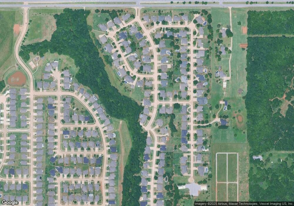
This home is located at 308 Kingsgate Rd, Yukon, OK 73099 and is currently estimated at $525,690, approximately $128 per square foot. 308 Kingsgate Rd is a home located in Canadian County with nearby schools including Central Elementary School, Independence Elementary School, and Yukon Middle School.
Ownership History
Date
Name
Owned For
Owner Type
Purchase Details
Closed on
Sep 5, 2025
Sold by
Karn Heather D and Karn Sean P
Bought by
Debra J Covington Revocable Trust
Current Estimated Value
Purchase Details
Closed on
Apr 21, 2023
Sold by
Karn Sean P and Karn Heather D
Bought by
Karn Heather D and Fowler Amber
Purchase Details
Closed on
Jul 6, 2017
Sold by
Karn Sean P and Karn Heather D
Bought by
Karn Sean P and Karn Heather D
Purchase Details
Closed on
Aug 25, 2005
Sold by
C & S Development Co Inc
Bought by
Karn Sean P and Karn Heather D
Create a Home Valuation Report for This Property
The Home Valuation Report is an in-depth analysis detailing your home's value as well as a comparison with similar homes in the area
Home Values in the Area
Average Home Value in this Area
Purchase History
| Date | Buyer | Sale Price | Title Company |
|---|---|---|---|
| Debra J Covington Revocable Trust | -- | None Listed On Document | |
| Karn Heather D | -- | -- | |
| Karn Sean P | -- | None Available | |
| Karn Sean P | $10,875 | Capitol Abstract & Title Com |
Source: Public Records
Tax History Compared to Growth
Tax History
| Year | Tax Paid | Tax Assessment Tax Assessment Total Assessment is a certain percentage of the fair market value that is determined by local assessors to be the total taxable value of land and additions on the property. | Land | Improvement |
|---|---|---|---|---|
| 2024 | $5,495 | $53,257 | $4,200 | $49,057 |
| 2023 | $5,495 | $50,721 | $4,200 | $46,521 |
| 2022 | $5,258 | $48,306 | $4,200 | $44,106 |
| 2021 | $5,120 | $46,900 | $4,200 | $42,700 |
| 2020 | $5,151 | $47,769 | $4,200 | $43,569 |
| 2019 | $4,921 | $45,494 | $4,200 | $41,294 |
| 2018 | $4,944 | $45,569 | $4,200 | $41,369 |
| 2017 | $4,710 | $43,399 | $4,200 | $39,199 |
| 2016 | $4,952 | $46,277 | $4,200 | $42,077 |
| 2015 | -- | $43,432 | $4,200 | $39,232 |
| 2014 | -- | $48,332 | $4,200 | $44,132 |
Source: Public Records
Map
Nearby Homes
- 409 Frisco Ridge Rd
- 632 Signalman
- 0 U S Route 66
- 1913 Tinder St
- 613 Side Track Rd
- 1016 Maple Ave
- 1101 W Main St
- 417 Garth Brooks Blvd
- 611 Garth Brooks Blvd
- 1004 Cedar Ave
- 9116 Anaum Ln
- 624 Frisco Ridge Rd
- 11325 SW 34th Terrace
- 600 S 8th St
- 705 Yukon Ave
- 601 S 8th St
- 621 Yukon Ave
- 740 Kingston Dr
- 744 Kingston Dr
- 616 Kingston Dr
- 400 Kingsgate Rd
- 304 Kingsgate Rd
- 404 Kingsgate Rd
- 1617 Castle Rock Ct
- 1616 Castle Rock Ct
- 312 Rock Creek Rd
- 308 Rock Creek Rd
- 1612 Castle Rock Ct
- 1613 Castle Rock Ct
- 305 Kingsgate Rd
- 304 Rock Creek Rd
- 301 Kingsgate Rd
- 409 Winding Creek Rd
- 309 Rock Creek Rd
- 412 Winding Creek Rd
- 220 Rock Creek Rd
- 400 Castle Rock Rd
- 308 Castle Rock Rd
- 304 Castle Rock Rd
