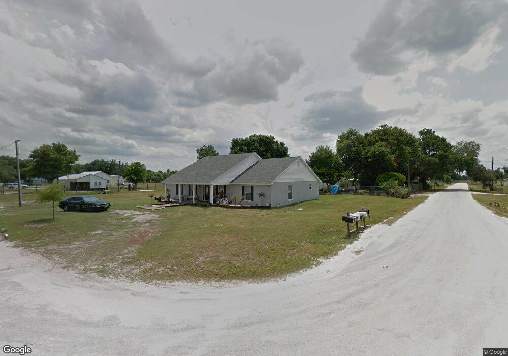
308 Lime Rd Bartow, FL 33830
Estimated Value: $209,000 - $304,000
3
Beds
2
Baths
2,112
Sq Ft
$121/Sq Ft
Est. Value
About This Home
This home is located at 308 Lime Rd, Bartow, FL 33830 and is currently estimated at $255,755, approximately $121 per square foot. 308 Lime Rd is a home located in Polk County with nearby schools including Bartow Elementary Academy, Union Academy, and Bartow Middle School.
Ownership History
Date
Name
Owned For
Owner Type
Purchase Details
Closed on
Oct 14, 2016
Sold by
Head Rental Corp
Bought by
Davis Amber M and Davis Thomas
Current Estimated Value
Home Financials for this Owner
Home Financials are based on the most recent Mortgage that was taken out on this home.
Original Mortgage
$93,769
Outstanding Balance
$78,090
Interest Rate
4.75%
Mortgage Type
FHA
Estimated Equity
$177,665
Purchase Details
Closed on
Oct 1, 2015
Sold by
Head Dwight
Bought by
Head Rental Corp
Purchase Details
Closed on
Sep 18, 2013
Sold by
County Of Polk
Bought by
Head Dwight
Create a Home Valuation Report for This Property
The Home Valuation Report is an in-depth analysis detailing your home's value as well as a comparison with similar homes in the area
Home Values in the Area
Average Home Value in this Area
Purchase History
| Date | Buyer | Sale Price | Title Company |
|---|---|---|---|
| Davis Amber M | $95,500 | Attorney | |
| Head Rental Corp | -- | Attorney | |
| Head Dwight | $49,600 | None Available |
Source: Public Records
Mortgage History
| Date | Status | Borrower | Loan Amount |
|---|---|---|---|
| Open | Davis Amber M | $93,769 |
Source: Public Records
Tax History
| Year | Tax Paid | Tax Assessment Tax Assessment Total Assessment is a certain percentage of the fair market value that is determined by local assessors to be the total taxable value of land and additions on the property. | Land | Improvement |
|---|---|---|---|---|
| 2025 | $2,810 | $161,365 | $5,270 | $156,095 |
| 2024 | $1,311 | $169,342 | $5,270 | $164,072 |
| 2023 | $1,311 | $103,432 | $0 | $0 |
| 2022 | $1,252 | $100,419 | $0 | $0 |
| 2021 | $1,252 | $97,494 | $0 | $0 |
| 2020 | $1,220 | $96,148 | $0 | $0 |
| 2018 | $1,151 | $92,234 | $0 | $0 |
| 2017 | $1,127 | $90,337 | $0 | $0 |
| 2016 | $2,888 | $88,610 | $0 | $0 |
Source: Public Records
Map
Nearby Homes
- 408 Old Bartow Lake Wales Rd
- 570 Old Bartow Lake Wales Rd
- 660 Old Bartow Lake Wales Rd
- 537 Heather Ct
- 136 Paul Revere Rd
- 205 Tifton St
- 345 Ridgeview E
- 606 Morgan Rd
- 0 Monroe Dr
- 919 Avenue S SE
- 0 Avenue A E Unit MFRTB8488121
- 0 Avenue A E Unit F10556451
- 0 Patricia Dr Unit MFRL4948414
- 371 Highlands Way
- 0 Sundance Dr Unit MFRO6298426
- 137 S Hankin Rd
- 1780 Carnostie Rd
- 1788 Carnostie Rd
- 300 S Hankin Rd
- 2302 Brassie Ct
Your Personal Tour Guide
Ask me questions while you tour the home.