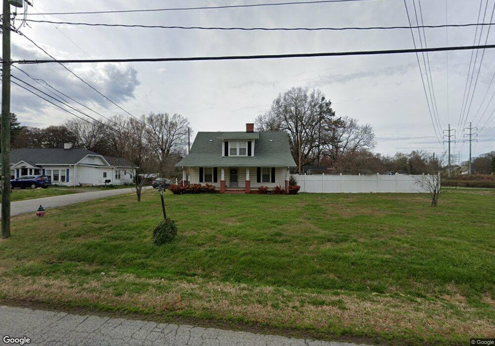
308 Lowrance Ave Unit 6 Kannapolis, NC 28081
Estimated Value: $354,000 - $405,337
4
Beds
3
Baths
1,797
Sq Ft
$211/Sq Ft
Est. Value
About This Home
This home is located at 308 Lowrance Ave Unit 6, Kannapolis, NC 28081 and is currently estimated at $379,084, approximately $210 per square foot. 308 Lowrance Ave Unit 6 is a home located in Cabarrus County with nearby schools including Shady Brook Elementary School, Kannapolis Middle, and A.L. Brown High School.
Ownership History
Date
Name
Owned For
Owner Type
Purchase Details
Closed on
Jun 13, 2022
Sold by
Snarkus Holdings Llc
Bought by
Chesley Joanne Rochella
Current Estimated Value
Home Financials for this Owner
Home Financials are based on the most recent Mortgage that was taken out on this home.
Original Mortgage
$122,000
Outstanding Balance
$116,043
Interest Rate
5.23%
Mortgage Type
New Conventional
Estimated Equity
$263,041
Purchase Details
Closed on
May 18, 2022
Sold by
Rdfn Ventures Inc
Bought by
Snarkus Holdings Llc
Home Financials for this Owner
Home Financials are based on the most recent Mortgage that was taken out on this home.
Original Mortgage
$122,000
Outstanding Balance
$116,043
Interest Rate
5.23%
Mortgage Type
New Conventional
Estimated Equity
$263,041
Purchase Details
Closed on
Oct 12, 2021
Sold by
Queen David R and Queen Susan Peurifoy
Bought by
Future Improvement Investments Llc
Home Financials for this Owner
Home Financials are based on the most recent Mortgage that was taken out on this home.
Original Mortgage
$217,000
Interest Rate
12.9%
Mortgage Type
Future Advance Clause Open End Mortgage
Purchase Details
Closed on
Jan 29, 2004
Sold by
Hud
Bought by
Queen David R
Home Financials for this Owner
Home Financials are based on the most recent Mortgage that was taken out on this home.
Original Mortgage
$55,250
Interest Rate
5.81%
Mortgage Type
Purchase Money Mortgage
Purchase Details
Closed on
Aug 30, 1999
Sold by
Mcdonald Ronald L and Mcdonald Carol L
Bought by
Dibias Nancy
Home Financials for this Owner
Home Financials are based on the most recent Mortgage that was taken out on this home.
Original Mortgage
$112,916
Interest Rate
7.58%
Mortgage Type
FHA
Purchase Details
Closed on
Nov 12, 1998
Sold by
Fleming Wilson Esther Lee
Bought by
Mcdonald Ronald L and Mcdonald Carol L
Home Financials for this Owner
Home Financials are based on the most recent Mortgage that was taken out on this home.
Original Mortgage
$79,000
Interest Rate
6.58%
Create a Home Valuation Report for This Property
The Home Valuation Report is an in-depth analysis detailing your home's value as well as a comparison with similar homes in the area
Home Values in the Area
Average Home Value in this Area
Purchase History
| Date | Buyer | Sale Price | Title Company |
|---|---|---|---|
| Chesley Joanne Rochella | $330,000 | Boston National Title | |
| Snarkus Holdings Llc | -- | Miller Janeen Ira | |
| Future Improvement Investments Llc | $180,000 | Cardinal Title Center | |
| Queen David R | -- | -- | |
| Dibias Nancy | $114,000 | -- | |
| Mcdonald Ronald L | $73,000 | -- |
Source: Public Records
Mortgage History
| Date | Status | Borrower | Loan Amount |
|---|---|---|---|
| Open | Chesley Joanne Rochella | $122,000 | |
| Previous Owner | Future Improvement Investments Llc | $217,000 | |
| Previous Owner | Queen David R | $55,250 | |
| Previous Owner | Dibias Nancy | $112,916 | |
| Previous Owner | Mcdonald Ronald L | $79,000 |
Source: Public Records
Tax History Compared to Growth
Tax History
| Year | Tax Paid | Tax Assessment Tax Assessment Total Assessment is a certain percentage of the fair market value that is determined by local assessors to be the total taxable value of land and additions on the property. | Land | Improvement |
|---|---|---|---|---|
| 2025 | $4,061 | $357,680 | $58,300 | $299,380 |
| 2024 | $4,061 | $357,680 | $58,300 | $299,380 |
| 2023 | $2,811 | $205,170 | $35,200 | $169,970 |
| 2022 | $2,263 | $147,260 | $35,200 | $112,060 |
| 2021 | $2,017 | $147,260 | $35,200 | $112,060 |
| 2020 | $2,017 | $147,260 | $35,200 | $112,060 |
| 2019 | $1,654 | $120,700 | $24,700 | $96,000 |
| 2018 | $1,629 | $120,700 | $24,700 | $96,000 |
| 2017 | $1,605 | $120,700 | $24,700 | $96,000 |
| 2016 | $1,605 | $122,010 | $26,000 | $96,010 |
| 2015 | $1,537 | $122,010 | $26,000 | $96,010 |
| 2014 | $1,537 | $122,010 | $26,000 | $96,010 |
Source: Public Records
Map
Nearby Homes
- 1309 Red Birch Place
- 1589 Matthew Allen Cir
- 1500 S Ridge Ave
- 1004 S Ridge Ave
- 828 Richard Ave
- 111 Landmark Dr
- 1417 Azalea Ave
- 806 Walker St
- 402 Ford St
- 00 Sapp Rd
- 808 Walker St
- 505 Rogers Lake Rd E
- 803 Desoto Ave
- 500 Plymouth St
- 103 Crescent St
- 1418 Oakwood Ave
- 506 Ford St
- 1008 Packard Ave
- 915 Sprucewood St
- 304 Bell St
- 308 Lowrance Ave
- 308 Rogers Lake Rd
- 1225 Milton Ave
- 400 Lowrance Ave
- 1223 Milton Ave
- 402 Lowrance Ave
- 307 Lowrance Ave
- 307 Lowrance Ave
- 1220 Margaret Ave
- 401 Lowrance Ave
- 302 Rogers Lake Rd
- 302 Lowrance Ave
- 1221 Milton Ave
- 403 Lowrance Ave
- 1218 Margaret Ave
- 1226 Milton Ave
- 1226 Milton Ave
- 404 Lowrance Ave
- 1219 Milton Ave
- 301 Lowrance Ave