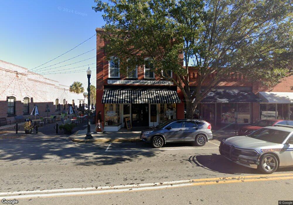
308 N Main St Conway, SC 29526
Estimated Value: $674,916
--
Bed
--
Bath
5,550
Sq Ft
$122/Sq Ft
Est. Value
About This Home
This home is located at 308 N Main St, Conway, SC 29526 and is currently priced at $674,916, approximately $121 per square foot. 308 N Main St is a home located in Horry County with nearby schools including Conway Elementary School, Conway Middle School, and Conway High School.
Ownership History
Date
Name
Owned For
Owner Type
Purchase Details
Closed on
Feb 15, 2006
Sold by
Frye Charlie F
Bought by
Smith Gregory T
Current Estimated Value
Home Financials for this Owner
Home Financials are based on the most recent Mortgage that was taken out on this home.
Original Mortgage
$172,500
Interest Rate
6.04%
Mortgage Type
Commercial
Purchase Details
Closed on
Oct 6, 2005
Sold by
Frye Charlie F
Bought by
Ciaccio Holding Llc
Home Financials for this Owner
Home Financials are based on the most recent Mortgage that was taken out on this home.
Original Mortgage
$148,750
Interest Rate
5.66%
Mortgage Type
Commercial
Create a Home Valuation Report for This Property
The Home Valuation Report is an in-depth analysis detailing your home's value as well as a comparison with similar homes in the area
Home Values in the Area
Average Home Value in this Area
Purchase History
| Date | Buyer | Sale Price | Title Company |
|---|---|---|---|
| Smith Gregory T | $172,500 | None Available | |
| Ciaccio Holding Llc | $175,000 | -- |
Source: Public Records
Mortgage History
| Date | Status | Borrower | Loan Amount |
|---|---|---|---|
| Closed | Smith Gregory T | $172,500 | |
| Previous Owner | Ciaccio Holding Llc | $148,750 |
Source: Public Records
Tax History Compared to Growth
Tax History
| Year | Tax Paid | Tax Assessment Tax Assessment Total Assessment is a certain percentage of the fair market value that is determined by local assessors to be the total taxable value of land and additions on the property. | Land | Improvement |
|---|---|---|---|---|
| 2024 | $9,133 | $37,425 | $3,363 | $34,062 |
| 2023 | $9,133 | $10,282 | $2,803 | $7,479 |
| 2021 | $2,714 | $20,089 | $2,803 | $17,286 |
| 2020 | $2,619 | $20,089 | $2,803 | $17,286 |
| 2019 | $2,619 | $20,089 | $2,803 | $17,286 |
| 2018 | $0 | $13,243 | $2,803 | $10,440 |
| 2017 | $2,395 | $13,243 | $2,803 | $10,440 |
| 2016 | -- | $13,243 | $2,803 | $10,440 |
| 2015 | $2,395 | $13,243 | $2,803 | $10,440 |
| 2014 | $2,331 | $13,243 | $2,803 | $10,440 |
Source: Public Records
Map
Nearby Homes
- TBD U S 501 Business
- Hunting Swamp Rd
- Lot 1 & 2 College Park Rd Unit COLLEGE PARK
- 14 Laurel St Unit 14
- TBD Kates Bay Hwy
- 509 Beaty St
- 3691 S Carolina 905
- 1520 4th Ave
- 2208 6th Ave
- TBD1150 U S 501 Business
- 12.64 Acs E Highway 501
- TBD 4.48 acres E Highway 501
- TBD HWY 501 E Highway 501
- 411 Apple Ln
- 1003 Winding Rd
- TBD Highway 378
- 1305 Forest View Rd
- 503 Alston St
- 1011 Hickory Cir
- 1106 Hickory Dr
- 304 Main St
- 314 Main St
- 910 3rd Ave
- 316 Main St
- 316 Main St
- 318 N Main St
- 315 Main St
- 303 Main St
- 322 and 32 Main St
- 322 and 324 Main St
- 911 Norman St
- 322 Main St Unit 316 & 318 Main Stree
- 320 Main St
- 301 Main St
- 301 Main St
- TBD Norman Alley Unit Building between Nor
- 904 3rd Ave
- 317 & 323 Main
- 324 Main St
- 330 N Main St