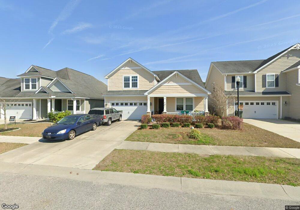
308 Nuttall Dr Summerville, SC 29485
Cane Bay Plantation NeighborhoodEstimated Value: $376,908 - $398,000
4
Beds
3
Baths
2,151
Sq Ft
$181/Sq Ft
Est. Value
About This Home
This home is located at 308 Nuttall Dr, Summerville, SC 29485 and is currently estimated at $389,477, approximately $181 per square foot. 308 Nuttall Dr is a home located in Berkeley County with nearby schools including Cane Bay Elementary School, Cane Bay Middle School, and Cane Bay High School.
Ownership History
Date
Name
Owned For
Owner Type
Purchase Details
Closed on
Feb 22, 2016
Sold by
Melton Amy Robertson
Bought by
American Homes 4 Rent Properties Ten Llc
Current Estimated Value
Purchase Details
Closed on
Feb 19, 2013
Sold by
Lennar Carolinas Llc
Bought by
Roberts Patricia G
Home Financials for this Owner
Home Financials are based on the most recent Mortgage that was taken out on this home.
Original Mortgage
$193,990
Interest Rate
3.55%
Mortgage Type
VA
Create a Home Valuation Report for This Property
The Home Valuation Report is an in-depth analysis detailing your home's value as well as a comparison with similar homes in the area
Home Values in the Area
Average Home Value in this Area
Purchase History
| Date | Buyer | Sale Price | Title Company |
|---|---|---|---|
| American Homes 4 Rent Properties Ten Llc | $184,200 | -- | |
| Roberts Patricia G | $193,990 | -- |
Source: Public Records
Mortgage History
| Date | Status | Borrower | Loan Amount |
|---|---|---|---|
| Previous Owner | Roberts Patricia G | $193,990 |
Source: Public Records
Tax History Compared to Growth
Tax History
| Year | Tax Paid | Tax Assessment Tax Assessment Total Assessment is a certain percentage of the fair market value that is determined by local assessors to be the total taxable value of land and additions on the property. | Land | Improvement |
|---|---|---|---|---|
| 2025 | $3,817 | $252,862 | $73,643 | $179,219 |
| 2024 | $3,817 | $15,172 | $4,419 | $10,753 |
| 2023 | $3,817 | $15,172 | $4,419 | $10,753 |
| 2022 | $3,674 | $13,193 | $2,639 | $10,554 |
| 2021 | $3,702 | $13,190 | $2,639 | $10,554 |
| 2020 | $3,716 | $13,193 | $2,639 | $10,554 |
| 2019 | $3,708 | $13,193 | $2,639 | $10,554 |
| 2018 | $3,451 | $11,472 | $2,340 | $9,132 |
| 2017 | $3,352 | $11,472 | $2,340 | $9,132 |
| 2016 | $3,383 | $12,760 | $2,700 | $10,060 |
| 2015 | $3,222 | $11,470 | $2,160 | $9,310 |
| 2014 | $3,012 | $11,470 | $2,160 | $9,310 |
| 2013 | -- | $11,470 | $2,160 | $9,310 |
Source: Public Records
Map
Nearby Homes
- 215 Overcup Loop
- 305 Fox Gap Rd
- 274 Overcup Loop
- 260 Overcup Loop
- 135 Ireland Dr
- 131 Ireland Dr
- 127 Ireland Dr
- 125 Ireland Dr
- 130 Ireland Dr
- 126 Ireland Dr
- 124 Ireland Dr
- 129 Radtko Rd
- 311 Whispering Breeze Ln
- 458 Whispering Breeze Ln
- 484 Whispering Breeze Ln
- 349 Waterlily Way
- 210 Basket Grass Ln
- 521 Tranquil Waters Way
- 316 Beachgrass Ln
- 620 Redbud Ln
- 31 Nuttall Dr
- 310 Nuttall Dr
- 306 Nuttall Dr
- 304 Nuttall Dr
- 312 Nuttall Dr
- 236 Overcup Loop
- 238 Overcup Loop
- 234 Overcup Loop
- 240 Overcup Loop
- 302 Nuttall Dr
- 314 Nuttall Dr
- 232 Overcup Loop
- 242 Overcup Loop
- 230 Overcup Loop
- 300 Nuttall Dr
- 228 Overcup Loop
- 237 Overcup Loop
- 410 Abelia Ln
- 235 Overcup Loop
- 412 Abelia Ln