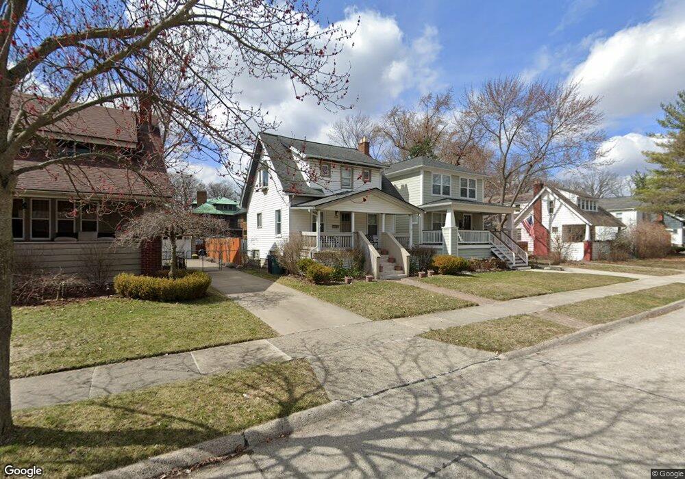
308 Oakdale St Royal Oak, MI 48067
Estimated Value: $274,000 - $397,000
2
Beds
1
Bath
1,050
Sq Ft
$300/Sq Ft
Est. Value
About This Home
This home is located at 308 Oakdale St, Royal Oak, MI 48067 and is currently estimated at $315,018, approximately $300 per square foot. 308 Oakdale St is a home located in Oakland County with nearby schools including Northwood Elementary School, Royal Oak Middle School, and Royal Oak High School.
Ownership History
Date
Name
Owned For
Owner Type
Purchase Details
Closed on
Feb 13, 2007
Sold by
Wilds Cheryl
Bought by
Deutsche Bank National Trust Co and Ffmlt 2006-Ff4 Mortgage Pass Through Cer
Current Estimated Value
Purchase Details
Closed on
Dec 28, 2005
Sold by
Malane Richard J and Malane Sharon M
Bought by
Wilds Cheryl
Home Financials for this Owner
Home Financials are based on the most recent Mortgage that was taken out on this home.
Original Mortgage
$230,000
Interest Rate
9.12%
Mortgage Type
Stand Alone First
Create a Home Valuation Report for This Property
The Home Valuation Report is an in-depth analysis detailing your home's value as well as a comparison with similar homes in the area
Home Values in the Area
Average Home Value in this Area
Purchase History
| Date | Buyer | Sale Price | Title Company |
|---|---|---|---|
| Deutsche Bank National Trust Co | $190,969 | None Available | |
| Wilds Cheryl | $230,000 | Superior Title Services Llc |
Source: Public Records
Mortgage History
| Date | Status | Borrower | Loan Amount |
|---|---|---|---|
| Previous Owner | Wilds Cheryl | $230,000 |
Source: Public Records
Tax History Compared to Growth
Tax History
| Year | Tax Paid | Tax Assessment Tax Assessment Total Assessment is a certain percentage of the fair market value that is determined by local assessors to be the total taxable value of land and additions on the property. | Land | Improvement |
|---|---|---|---|---|
| 2024 | $2,056 | $105,680 | $0 | $0 |
| 2022 | $2,430 | $95,880 | $0 | $0 |
| 2020 | $1,998 | $82,690 | $0 | $0 |
| 2018 | $2,430 | $76,920 | $0 | $0 |
| 2017 | $2,336 | $76,920 | $0 | $0 |
| 2015 | -- | $64,780 | $0 | $0 |
| 2014 | -- | $56,270 | $0 | $0 |
| 2011 | -- | $51,830 | $0 | $0 |
Source: Public Records
Map
Nearby Homes
- 212 S Maple Ave
- 1027 W Eleven Mile Rd
- 334 S Laurel St
- 642 W 11 Mile Rd
- 640 W 11 Mile Rd
- 1051 N Sherman Dr Unit 19
- 300 Baker St
- 713 S Pleasant St
- 400 Josephine Ave
- 506 Hilldale Dr
- 432 S Washington Ave Unit 905
- 432 S Washington Ave Unit 1605
- 432 S Washington Ave Unit 702
- 432 S Washington Ave
- 432 S Washington Ave Unit 1701
- 414 Oakland Ave
- 1320 Hartrick Ave
- 402 N West St
- 713 W Farnum Ave
- 686 Princeton Rd
- 304 Oakdale St
- 0 Maxwell Ave
- 312 Oakdale St
- 220 Oakdale St
- 316 Oakdale St
- 322 Oakdale St
- 215 Hendrie Blvd
- 305 Oakdale St
- 313 Oakdale St
- 324 Oakdale St
- 214 Oakdale St
- 305 Hendrie Blvd
- 321 Oakdale St
- 302 S Maple Ave
- 308 S Maple Ave
- 210 Oakdale St
- 213 Oakdale St
- 205 Hendrie Blvd
- 315 Hendrie Blvd
- 325 Oakdale St