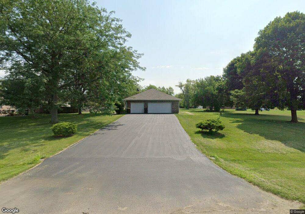
308 S Kaye Ln Creston, IL 60113
Estimated Value: $163,000 - $289,000
--
Bed
--
Bath
1,936
Sq Ft
$101/Sq Ft
Est. Value
About This Home
This home is located at 308 S Kaye Ln, Creston, IL 60113 and is currently estimated at $196,381, approximately $101 per square foot. 308 S Kaye Ln is a home with nearby schools including Creston Elementary School and Rochelle Township High School.
Ownership History
Date
Name
Owned For
Owner Type
Purchase Details
Closed on
Jul 27, 2022
Sold by
Norkus Christopher A and Norkus Bruce A
Bought by
Kerns Property Management Llc
Current Estimated Value
Home Financials for this Owner
Home Financials are based on the most recent Mortgage that was taken out on this home.
Original Mortgage
$100,000
Outstanding Balance
$95,828
Interest Rate
5.81%
Mortgage Type
Commercial
Estimated Equity
$100,553
Create a Home Valuation Report for This Property
The Home Valuation Report is an in-depth analysis detailing your home's value as well as a comparison with similar homes in the area
Home Values in the Area
Average Home Value in this Area
Purchase History
| Date | Buyer | Sale Price | Title Company |
|---|---|---|---|
| Kerns Property Management Llc | $127,000 | Nlt Title |
Source: Public Records
Mortgage History
| Date | Status | Borrower | Loan Amount |
|---|---|---|---|
| Open | Kerns Property Management Llc | $100,000 |
Source: Public Records
Tax History Compared to Growth
Tax History
| Year | Tax Paid | Tax Assessment Tax Assessment Total Assessment is a certain percentage of the fair market value that is determined by local assessors to be the total taxable value of land and additions on the property. | Land | Improvement |
|---|---|---|---|---|
| 2024 | $3,967 | $52,705 | $12,622 | $40,083 |
| 2023 | $4,119 | $49,160 | $11,773 | $37,387 |
| 2022 | $3,987 | $51,837 | $11,021 | $40,816 |
| 2021 | $3,731 | $48,220 | $10,252 | $37,968 |
| 2020 | $3,576 | $46,051 | $9,791 | $36,260 |
| 2019 | $3,464 | $44,602 | $9,483 | $35,119 |
| 2018 | $3,780 | $46,844 | $9,483 | $37,361 |
| 2017 | $3,637 | $45,308 | $9,172 | $36,136 |
| 2016 | $3,602 | $44,459 | $9,000 | $35,459 |
| 2015 | $3,493 | $44,459 | $9,000 | $35,459 |
| 2014 | $3,475 | $46,702 | $11,243 | $35,459 |
| 2013 | $3,831 | $47,885 | $11,528 | $36,357 |
Source: Public Records
Map
Nearby Homes
- 215 Ridge St
- 519 S Regulators St
- 618 Roberts St
- 667 S Regulators St
- 659 S Regulators St
- LOT 2 Ranger Rd
- 907 Carlisle Dr
- Lot 11 Kelley Dr
- 0 Caron & Flagg Rd Unit MRD11749042
- 203 Drake Ave
- 000 E Flagg Rd
- 107 Southview Dr
- 208 Irene Ave
- 1016 Misty Landing Ct
- 113 Janet Ave
- 122 Shirley Ave
- 216 Lake Lida Ln
- 768 Waters Edge Blvd
- 731 Prairie Pond Cir
- 230 Lake Lida Ln