3080 Tamarack Ave Springfield, OH 45502
Estimated Value: $251,923 - $343,000
3
Beds
4
Baths
1,075
Sq Ft
$270/Sq Ft
Est. Value
About This Home
This home is located at 3080 Tamarack Ave, Springfield, OH 45502 and is currently estimated at $289,981, approximately $269 per square foot. 3080 Tamarack Ave is a home located in Clark County with nearby schools including Northridge Elementary School and Kenton Ridge Middle & High School.
Ownership History
Date
Name
Owned For
Owner Type
Purchase Details
Closed on
Oct 28, 2015
Sold by
Harper Randall R and Harper Kimberly Jo
Bought by
Harper Dale L and Harper Emma J
Current Estimated Value
Purchase Details
Closed on
Jun 1, 2006
Sold by
Hoar Roger H and Hoar Patricia M
Bought by
Harper Randall R
Home Financials for this Owner
Home Financials are based on the most recent Mortgage that was taken out on this home.
Original Mortgage
$103,200
Interest Rate
6.62%
Mortgage Type
Fannie Mae Freddie Mac
Purchase Details
Closed on
May 31, 2005
Sold by
Hoar Roger H and Hoar Patricia M
Bought by
Hoar Roger H and Hoar Patricia M
Create a Home Valuation Report for This Property
The Home Valuation Report is an in-depth analysis detailing your home's value as well as a comparison with similar homes in the area
Home Values in the Area
Average Home Value in this Area
Purchase History
| Date | Buyer | Sale Price | Title Company |
|---|---|---|---|
| Harper Dale L | $135,000 | Attorney | |
| Harper Randall R | $129,000 | None Available | |
| Hoar Roger H | -- | -- |
Source: Public Records
Mortgage History
| Date | Status | Borrower | Loan Amount |
|---|---|---|---|
| Previous Owner | Harper Randall R | $103,200 |
Source: Public Records
Tax History
| Year | Tax Paid | Tax Assessment Tax Assessment Total Assessment is a certain percentage of the fair market value that is determined by local assessors to be the total taxable value of land and additions on the property. | Land | Improvement |
|---|---|---|---|---|
| 2025 | $2,380 | $70,610 | $15,290 | $55,320 |
| 2024 | $2,328 | $64,110 | $11,850 | $52,260 |
| 2023 | $2,328 | $64,110 | $11,850 | $52,260 |
| 2022 | $2,355 | $64,110 | $11,850 | $52,260 |
| 2021 | $1,700 | $42,680 | $8,470 | $34,210 |
| 2020 | $1,702 | $42,680 | $8,470 | $34,210 |
| 2019 | $1,734 | $42,680 | $8,470 | $34,210 |
| 2018 | $2,043 | $46,970 | $13,660 | $33,310 |
| 2017 | $1,752 | $44,321 | $13,661 | $30,660 |
| 2016 | $1,740 | $44,321 | $13,661 | $30,660 |
| 2015 | $1,026 | $42,491 | $13,136 | $29,355 |
| 2014 | $2,051 | $42,491 | $13,136 | $29,355 |
| 2013 | $2,003 | $42,491 | $13,136 | $29,355 |
Source: Public Records
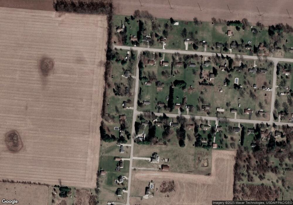
Map
Nearby Homes
- 4273 Kay Ave
- 1977 Willoughby Ave
- 1470 Oldham Dr Unit 12
- 4607 Plateau Dr S
- 1398 Elizabeth Ct Unit 66
- 4890 Brannan Dr W Unit 4890
- 1521 Erika Dr
- 4500 Bosart Rd
- 4954 E County Line Rd
- 4732 Lehigh Dr
- 937 Willow Rd
- 5235 W Ridgewood Rd
- 1309 Richmoor Rd
- 4816 Middle Urbana Rd
- 4652 Reno Ln Unit 15
- 4577 Reno Ln Unit 2
- 4802 Willowbrook Dr
- 4446 Ridgewood Rd E Unit 3
- 5645 Springfield-Urbana Pike Unit Lot 67
- 4381 Briarwood Dr
- 3104 Tamarack Ave
- 6359 Harvest St
- 3105 Tamarack Ave
- 3081 Tamarack Ave
- 6327 Harvest St
- 3132 Tamarack Ave
- 6301 Harvest St
- 6385 Harvest St
- 3077 Sandalwood Ave
- 3137 Tamarack Ave
- 3109 Sandalwood Ave
- 6277 Harvest St
- 3160 Tamarack Ave
- 3129 Sandalwood Ave
- 3165 Tamarack Ave
- 6253 Harvest St
- 6242 Harvest St
- 3159 Sandalwood Ave
- 3188 Tamarack Ave
- 3072 Sandalwood Ave
Your Personal Tour Guide
Ask me questions while you tour the home.