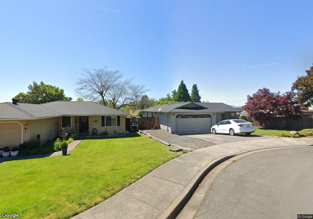
3081 Bron Cir Medford, OR 97504
Estimated Value: $356,000 - $376,000
3
Beds
2
Baths
1,452
Sq Ft
$252/Sq Ft
Est. Value
About This Home
This home is located at 3081 Bron Cir, Medford, OR 97504 and is currently estimated at $366,119, approximately $252 per square foot. 3081 Bron Cir is a home located in Jackson County with nearby schools including Abraham Lincoln Elementary School, Hedrick Middle School, and North Medford High School.
Ownership History
Date
Name
Owned For
Owner Type
Purchase Details
Closed on
Jan 14, 2025
Sold by
Galpin C A
Bought by
Smith Wade and Hokinson Kelli
Current Estimated Value
Purchase Details
Closed on
Nov 17, 2004
Sold by
Escobedo Blanca O
Bought by
Escobedo Blanca
Home Financials for this Owner
Home Financials are based on the most recent Mortgage that was taken out on this home.
Original Mortgage
$131,000
Interest Rate
5.79%
Mortgage Type
New Conventional
Purchase Details
Closed on
Apr 5, 2000
Sold by
Bosque John W and The Mary Ida Bosque Revocable
Bought by
Escobedo Blanca O
Home Financials for this Owner
Home Financials are based on the most recent Mortgage that was taken out on this home.
Original Mortgage
$119,121
Interest Rate
8.3%
Mortgage Type
FHA
Purchase Details
Closed on
Apr 20, 1998
Sold by
Bosque Mary I
Bought by
Livi Bosque Mary Ida and Mary Ida Bosque Revocable Living Trust
Create a Home Valuation Report for This Property
The Home Valuation Report is an in-depth analysis detailing your home's value as well as a comparison with similar homes in the area
Home Values in the Area
Average Home Value in this Area
Purchase History
| Date | Buyer | Sale Price | Title Company |
|---|---|---|---|
| Smith Wade | $138,000 | Ticor Title | |
| Smith Wade | $138,000 | Ticor Title | |
| Escobedo Blanca | -- | First American | |
| Escobedo Blanca O | $122,000 | Amerititle | |
| Livi Bosque Mary Ida | -- | -- |
Source: Public Records
Mortgage History
| Date | Status | Borrower | Loan Amount |
|---|---|---|---|
| Previous Owner | Escobedo Blanca | $131,000 | |
| Previous Owner | Escobedo Blanca O | $119,121 |
Source: Public Records
Tax History Compared to Growth
Tax History
| Year | Tax Paid | Tax Assessment Tax Assessment Total Assessment is a certain percentage of the fair market value that is determined by local assessors to be the total taxable value of land and additions on the property. | Land | Improvement |
|---|---|---|---|---|
| 2025 | $3,073 | $211,920 | $81,700 | $130,220 |
| 2024 | $3,073 | $205,750 | $79,320 | $126,430 |
| 2023 | $2,979 | $199,760 | $77,010 | $122,750 |
| 2022 | $2,907 | $199,760 | $77,010 | $122,750 |
| 2021 | $2,832 | $193,950 | $74,770 | $119,180 |
| 2020 | $2,772 | $188,310 | $72,590 | $115,720 |
| 2019 | $2,706 | $177,510 | $68,410 | $109,100 |
| 2018 | $2,637 | $172,340 | $66,420 | $105,920 |
| 2017 | $2,589 | $172,340 | $66,420 | $105,920 |
| 2016 | $2,606 | $162,460 | $62,610 | $99,850 |
| 2015 | $2,505 | $162,460 | $62,610 | $99,850 |
| 2014 | $2,461 | $153,140 | $59,020 | $94,120 |
Source: Public Records
Map
Nearby Homes
- 3093 Paul Cir
- 3054 Levi Cir
- 2995 Bedford Cir
- 2965 Bailey Ave
- 3050 Delta Waters Rd
- 3228 Garner Way
- 3321 Oneida Cir
- 3024 Adams Cir
- 3718 Carlin Dr
- 3726 Carlin Dr
- 3739 Ford Dr
- 3747 Ford Dr
- 3727 Carlin Dr
- 3691 Ford Dr
- 3719 Carlin Dr
- 3358 Viewpoint Dr
- 3362 Viewpoint Dr
- 2966 Delta Waters Rd
- 2769 Stonebrook Dr
- 3018 Sky Lakes Dr