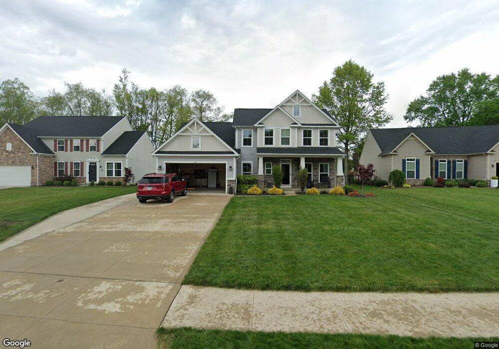
3081 Stonehurst Rd Uniontown, OH 44685
Estimated Value: $433,790 - $520,000
4
Beds
3
Baths
3,026
Sq Ft
$157/Sq Ft
Est. Value
About This Home
This home is located at 3081 Stonehurst Rd, Uniontown, OH 44685 and is currently estimated at $474,448, approximately $156 per square foot. 3081 Stonehurst Rd is a home located in Summit County with nearby schools including Greenwood Elementary School, Green Primary School, and Green Intermediate Elementary School.
Ownership History
Date
Name
Owned For
Owner Type
Purchase Details
Closed on
Sep 13, 2018
Sold by
Nvr Inc
Bought by
Tindel Gary L and Tindel Lisa M
Current Estimated Value
Home Financials for this Owner
Home Financials are based on the most recent Mortgage that was taken out on this home.
Original Mortgage
$317,131
Outstanding Balance
$275,987
Interest Rate
4.5%
Mortgage Type
VA
Estimated Equity
$198,461
Purchase Details
Closed on
May 17, 2018
Sold by
Lakes Of Green Ltd An Ohio Limite Dcompa
Bought by
Nvr Inc Corporation and Ryan Homes
Create a Home Valuation Report for This Property
The Home Valuation Report is an in-depth analysis detailing your home's value as well as a comparison with similar homes in the area
Home Values in the Area
Average Home Value in this Area
Purchase History
| Date | Buyer | Sale Price | Title Company |
|---|---|---|---|
| Tindel Gary L | $307,000 | Nvr Title Agency Llc | |
| Nvr Inc Corporation | $515,000 | Nvr Title Agency Llc |
Source: Public Records
Mortgage History
| Date | Status | Borrower | Loan Amount |
|---|---|---|---|
| Open | Tindel Gary L | $317,131 |
Source: Public Records
Tax History Compared to Growth
Tax History
| Year | Tax Paid | Tax Assessment Tax Assessment Total Assessment is a certain percentage of the fair market value that is determined by local assessors to be the total taxable value of land and additions on the property. | Land | Improvement |
|---|---|---|---|---|
| 2025 | $6,311 | $132,815 | $22,435 | $110,380 |
| 2024 | $6,311 | $132,815 | $22,435 | $110,380 |
| 2023 | $6,311 | $132,815 | $22,435 | $110,380 |
| 2022 | $5,666 | $107,111 | $18,095 | $89,016 |
| 2021 | $5,318 | $107,111 | $18,095 | $89,016 |
| 2020 | $5,214 | $107,120 | $18,100 | $89,020 |
| 2019 | $5,264 | $101,940 | $17,370 | $84,570 |
| 2018 | $117 | $1,040 | $1,040 | $0 |
| 2017 | $0 | $0 | $0 | $0 |
Source: Public Records
Map
Nearby Homes
- 2830 Superior Dr
- 3979 Northdale St NW
- 2771 Superior Dr
- 13704 Greenland Ave NW
- 2944 Sunset Dr
- 3796 Sweitzer St NW
- 3003 Myersville Rd
- 0 Pine St NW
- 2664 Pine Lake Trail
- 2619 Henrietta Dr
- 2577 Sweitzer Rd
- 3212 Deborah Ct
- 3217 Deborah Ct
- 2864 Pine Lake Rd
- 3310 Linden St NW
- 3100 Linden St NW
- 2811 Canton Rd
- 3221 Killian Rd
- 2500 Marlborough Dr
- 2575 Myersville Rd
- 3088 Stonehurst Rd
- 3078 Stonehurst Rd
- 3075 Stonehurst Rd
- 3075 Stonehurst Rd
- 3087 Stonehurst Rd
- 3082 Stonehurst Rd
- 3099 Stonehurst Rd
- 3065 Stonehurst Rd
- 3098 Stonehurst Rd
- 3058 Stonehurst Rd
- 3059 Stonehurst Rd
- 2660 Woodview Rd
- 3279 Pebble Stone Dr
- 3048 Stonehurst Rd
- 3272 Pebble Stone Dr
- 2665 Woodview Rd
- 13313 Betty Ave NW
- 2731 Watervale Dr
- 3283 Pebble Stone Dr
- 3037 Stonehurst Rd