3081 W Stein Rd La Salle, MI 48145
Estimated Value: $255,000 - $312,879
3
Beds
1
Bath
1,380
Sq Ft
$214/Sq Ft
Est. Value
About This Home
This home is located at 3081 W Stein Rd, La Salle, MI 48145 and is currently estimated at $295,220, approximately $213 per square foot. 3081 W Stein Rd is a home located in Monroe County with nearby schools including Mason Central School, Mason Middle School, and Mason Senior High School.
Ownership History
Date
Name
Owned For
Owner Type
Purchase Details
Closed on
Oct 5, 2017
Sold by
Swick Margaret S and Swiderski Edward
Bought by
Thacker Kenneth W and Thacker Debra A
Current Estimated Value
Home Financials for this Owner
Home Financials are based on the most recent Mortgage that was taken out on this home.
Original Mortgage
$220,299
Outstanding Balance
$188,409
Interest Rate
4.75%
Mortgage Type
FHA
Estimated Equity
$106,811
Create a Home Valuation Report for This Property
The Home Valuation Report is an in-depth analysis detailing your home's value as well as a comparison with similar homes in the area
Home Values in the Area
Average Home Value in this Area
Purchase History
| Date | Buyer | Sale Price | Title Company |
|---|---|---|---|
| Thacker Kenneth W | $131,000 | Lawyers Title | |
| Marini Llc | -- | Lawyers Title |
Source: Public Records
Mortgage History
| Date | Status | Borrower | Loan Amount |
|---|---|---|---|
| Open | Marini Llc | $220,299 | |
| Closed | Thacker Kenneth W | $220,299 |
Source: Public Records
Tax History Compared to Growth
Tax History
| Year | Tax Paid | Tax Assessment Tax Assessment Total Assessment is a certain percentage of the fair market value that is determined by local assessors to be the total taxable value of land and additions on the property. | Land | Improvement |
|---|---|---|---|---|
| 2025 | $2,466 | $165,700 | $110,300 | $55,400 |
| 2024 | $1,192 | $163,300 | $0 | $0 |
| 2023 | $1,136 | $121,100 | $0 | $0 |
| 2022 | $2,234 | $121,100 | $0 | $0 |
| 2021 | $2,127 | $103,300 | $0 | $0 |
| 2020 | $2,097 | $110,000 | $0 | $0 |
| 2019 | $2,374 | $110,000 | $0 | $0 |
| 2018 | $2,286 | $96,800 | $0 | $0 |
| 2017 | $1,799 | $102,900 | $0 | $0 |
| 2016 | $3,113 | $102,900 | $0 | $0 |
| 2015 | $3,052 | $78,000 | $0 | $0 |
| 2014 | $3,010 | $78,000 | $0 | $0 |
| 2013 | -- | $74,700 | $0 | $0 |
Source: Public Records
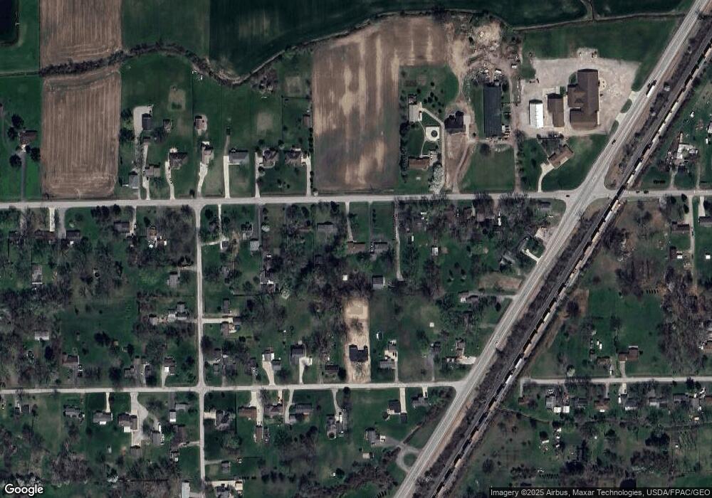
Map
Nearby Homes
- 3012 1st St
- 2856 2nd St
- 3116 3rd St
- 12829 C St
- 3818 1st St
- 0 S Telegraph Rd
- 13171 S Dixie Hwy
- 13653 Dunlap Rd
- 13156 Strasburg Rd
- 3344 Cousino Rd
- 0 Cousino Rd
- 14334 S Dixie Hwy
- 1720 E Rauch Rd
- 14392 Canterberry
- 14359 S Dixie Hwy
- 4899 Skylark Dr
- 4911 Skylark Dr
- 10931 Telegraph Rd Unit 10941
- 4530 W Albain Rd
- 3298 W Albain Rd