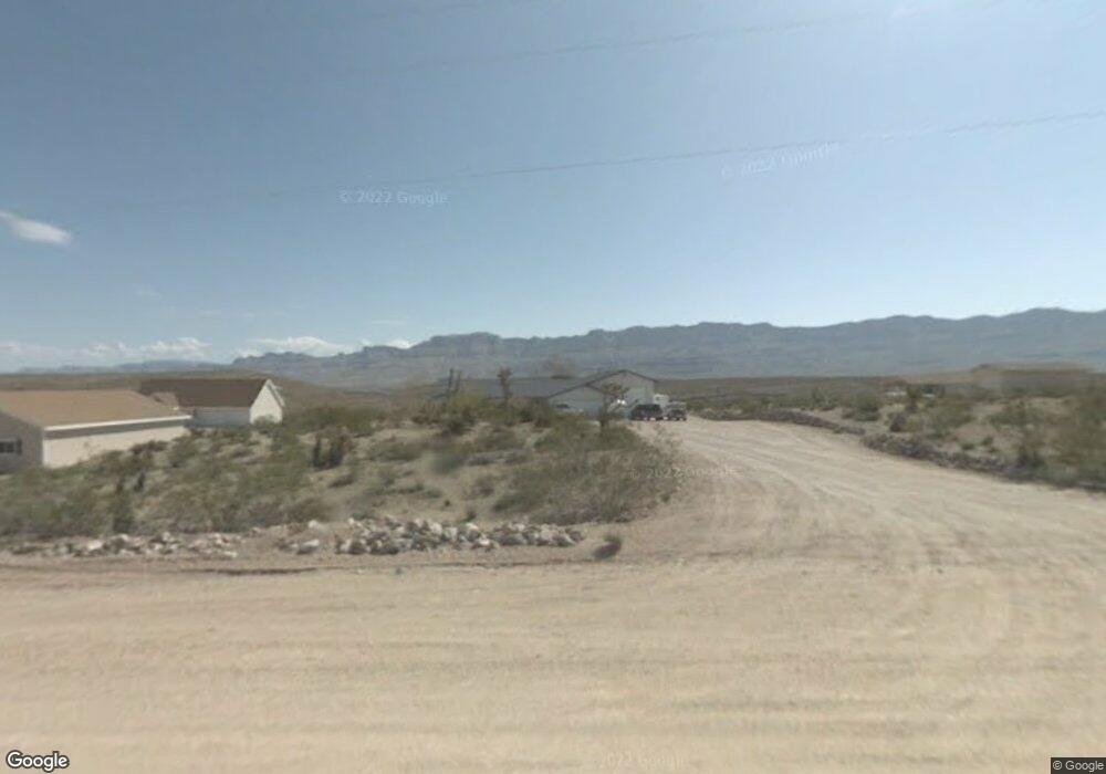
30820 N Spencer Dr Meadview, AZ 86444
Estimated Value: $259,689 - $294,000
--
Bed
1
Bath
1,692
Sq Ft
$161/Sq Ft
Est. Value
About This Home
This home is located at 30820 N Spencer Dr, Meadview, AZ 86444 and is currently estimated at $272,922, approximately $161 per square foot. 30820 N Spencer Dr is a home with nearby schools including Cerbat Elementary School, Kingman Middle School, and Kingman High School.
Ownership History
Date
Name
Owned For
Owner Type
Purchase Details
Closed on
Mar 24, 2025
Sold by
Dennis And Sharon Darr Living Trust and Darr Dennis Lee
Bought by
Dennis And Sharon Darr Living Trust and Darr
Current Estimated Value
Purchase Details
Closed on
May 11, 2022
Sold by
Sail Trust
Bought by
Sail Trust
Purchase Details
Closed on
Dec 7, 2020
Sold by
Sail Edward L
Bought by
Sail Edward L
Purchase Details
Closed on
Mar 28, 2012
Sold by
Girth Debie Lynn
Bought by
Sail Edward L
Home Financials for this Owner
Home Financials are based on the most recent Mortgage that was taken out on this home.
Original Mortgage
$143,010
Interest Rate
3.86%
Mortgage Type
VA
Purchase Details
Closed on
Jun 20, 2000
Sold by
Soucy Roland J and Soucy Madeline V
Bought by
Soucy Roland J and Soucy Madeline
Create a Home Valuation Report for This Property
The Home Valuation Report is an in-depth analysis detailing your home's value as well as a comparison with similar homes in the area
Home Values in the Area
Average Home Value in this Area
Purchase History
| Date | Buyer | Sale Price | Title Company |
|---|---|---|---|
| Dennis And Sharon Darr Living Trust | -- | None Listed On Document | |
| Sail Trust | -- | None Listed On Document | |
| Sail Edward L | -- | None Available | |
| Sail Edward L | $140,000 | Pioneer Title Agency Inc | |
| Soucy Roland J | -- | -- |
Source: Public Records
Mortgage History
| Date | Status | Borrower | Loan Amount |
|---|---|---|---|
| Previous Owner | Sail Edward L | $143,010 |
Source: Public Records
Tax History Compared to Growth
Tax History
| Year | Tax Paid | Tax Assessment Tax Assessment Total Assessment is a certain percentage of the fair market value that is determined by local assessors to be the total taxable value of land and additions on the property. | Land | Improvement |
|---|---|---|---|---|
| 2026 | -- | -- | -- | -- |
| 2025 | $1,516 | $24,672 | $0 | $0 |
| 2024 | $1,516 | $23,872 | $0 | $0 |
| 2023 | $1,516 | $23,423 | $0 | $0 |
| 2022 | $1,096 | $18,148 | $0 | $0 |
| 2021 | $939 | $14,938 | $0 | $0 |
| 2019 | $846 | $10,624 | $0 | $0 |
| 2018 | $898 | $10,288 | $0 | $0 |
| 2017 | $912 | $11,232 | $0 | $0 |
| 2016 | $877 | $10,993 | $0 | $0 |
| 2015 | $917 | $11,004 | $0 | $0 |
Source: Public Records
Map
Nearby Homes
- 800 N Bright Angel Dr
- 1360 Dellenbaugh Dr
- 1365 Dellenbaugh Dr
- 1305 Dellenbaugh Dr
- 1360 Diamond Creek Dr
- 1280 Diamond Creek Dr
- 1005 Supai Dr
- 1105 & 1145 E Stanton Dr
- 840 Dellenbaugh Dr
- 760 Supai Dr
- 845 E Supai Dr
- 285 Dellenbaugh Dr
- 790 Yates Dr
- 1210 Hance Dr Unit 158
- 715 Whitmore Dr
- 715 Sumner Dr
- 670 Sumner Dr Unit 154
- 590 Sumner Dr
- 1150 Price Dr
- 1205 E Spencer Dr
- 30840 N Spencer Dr
- 30800 N Spencer Dr
- 825 E Bright Angel Dr
- 30760 N Spencer Dr
- 795 E Bright Angel Dr Unit 11
- 30900 Spencer Dr
- 30740 N Spencer Dr
- 1320 Spencer Way
- 1360 E Spencer Way
- 1160 E Dellenbaugh Dr
- 1320 E Spencer Way
- 1320 E Spencer Way
- 775 E Bright Angel Dr
- 775 Bright Angel Dr
- 1365 Mohawk Dr
- 765 E Bright Angel Dr
- 765 Bright Angel Dr
- 1200 E Spencer Way
- 755 E Bright Angel Dr
- 755 Bright Angel Dr