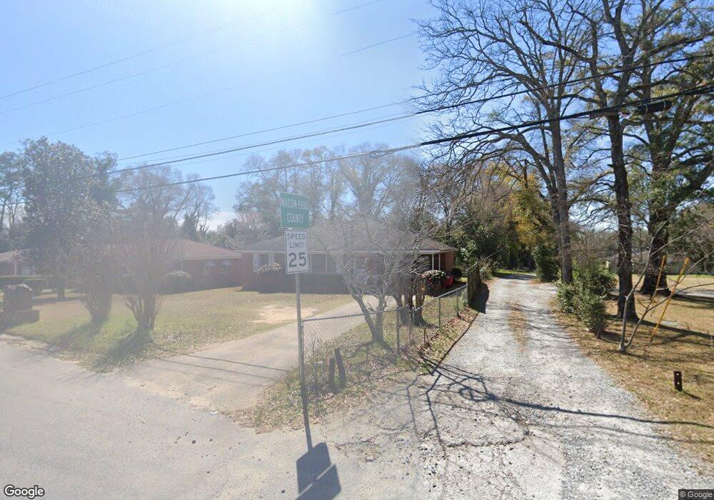
3084 Bethune Ave Macon, GA 31211
Estimated Value: $123,614 - $138,000
3
Beds
1
Bath
1,750
Sq Ft
$73/Sq Ft
Est. Value
About This Home
This home is located at 3084 Bethune Ave, Macon, GA 31211 and is currently estimated at $127,404, approximately $72 per square foot. 3084 Bethune Ave is a home located in Bibb County with nearby schools including Martin Luther King Jr. Elementary School, Appling Middle School, and Northeast High School.
Ownership History
Date
Name
Owned For
Owner Type
Purchase Details
Closed on
Aug 7, 2024
Sold by
Blount Phyllis
Bought by
Epps Affordable Rentals Llc
Current Estimated Value
Home Financials for this Owner
Home Financials are based on the most recent Mortgage that was taken out on this home.
Original Mortgage
$80,000
Interest Rate
6.47%
Mortgage Type
New Conventional
Purchase Details
Closed on
Mar 10, 2003
Bought by
Blount Phyllis
Create a Home Valuation Report for This Property
The Home Valuation Report is an in-depth analysis detailing your home's value as well as a comparison with similar homes in the area
Purchase History
| Date | Buyer | Sale Price | Title Company |
|---|---|---|---|
| Epps Affordable Rentals Llc | $100,000 | Southeast Title Company Inc | |
| Blount Phyllis | -- | -- | |
| Blount Phyllis | $73,000 | -- |
Source: Public Records
Mortgage History
| Date | Status | Borrower | Loan Amount |
|---|---|---|---|
| Previous Owner | Epps Affordable Rentals Llc | $80,000 |
Source: Public Records
Tax History
| Year | Tax Paid | Tax Assessment Tax Assessment Total Assessment is a certain percentage of the fair market value that is determined by local assessors to be the total taxable value of land and additions on the property. | Land | Improvement |
|---|---|---|---|---|
| 2025 | $1,256 | $51,117 | $4,000 | $47,117 |
| 2024 | $1,120 | $51,117 | $4,000 | $47,117 |
| 2023 | $1,117 | $44,708 | $2,125 | $42,583 |
| 2022 | $903 | $33,068 | $2,793 | $30,275 |
| 2021 | $672 | $24,673 | $1,257 | $23,416 |
| 2020 | $627 | $23,149 | $1,257 | $21,892 |
| 2019 | $334 | $15,528 | $1,257 | $14,271 |
| 2018 | $691 | $15,528 | $1,257 | $14,271 |
| 2017 | $320 | $15,528 | $1,257 | $14,271 |
| 2016 | $295 | $15,528 | $1,257 | $14,271 |
| 2015 | $542 | $18,068 | $1,257 | $16,811 |
| 2014 | $1,113 | $25,843 | $2,681 | $23,162 |
Source: Public Records
Map
Nearby Homes
- 3103 Stratford Dr
- 2954 Tyler Place
- 3147 Wedgewood Dr
- 155 Alton Rd
- 3020 Millersfield Rd
- 3020 Millerfield Rd
- 3009 Millerfield Rd
- 2740 Millerfield Rd
- 0 Shady Road Plaza
- 168 Ruby Dr
- 2792 Jordan Ave
- 2675 Pauladale Dr
- 240 Neptune Ct
- 2720 Jordan Ave
- 131 Sun Valley Dr
- 2639 Tredway Dr
- 2035 Fairway Dr
- 2630 Pauladale Dr
- 2721 Kensington Place
- 2675 Andy Dr
- 3078 Bethune Ave
- 3101 Bethune Ave
- 3072 Bethune Ave
- 3108 Commodore Dr
- 3066 Bethune Ave
- 3067 Bethune Ave
- 268 Shady Road Plaza
- 3116 Commodore Dr
- 3060 Bethune Ave
- 3060 Bethune Ave Unit A5
- 3105 Bethune Ave
- 3107 Bethune Ave
- 286 Shady Road Plaza
- 3115 Commodore Dr
- 3054 Bethune Ave
- 3057 Bethune Ave
- 3128 Commodore Dr
- 289 Shady Road Plaza
- 266 Shady Road Plaza
- 3111 Bethune Ave
Your Personal Tour Guide
Ask me questions while you tour the home.