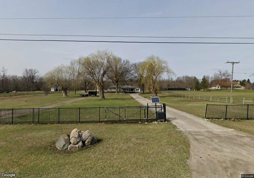
3085 Moceri Ln South Lyon, MI 48178
Estimated Value: $817,000 - $1,191,668
--
Bed
1
Bath
2,709
Sq Ft
$371/Sq Ft
Est. Value
About This Home
This home is located at 3085 Moceri Ln, South Lyon, MI 48178 and is currently estimated at $1,004,334, approximately $370 per square foot. 3085 Moceri Ln is a home with nearby schools including Salem Elementary School, Millennium Middle School, and South Lyon East High School.
Ownership History
Date
Name
Owned For
Owner Type
Purchase Details
Closed on
May 18, 2012
Sold by
Greco Anthony and Greco Mary E
Bought by
Bridge William and Bridge Kristen
Current Estimated Value
Home Financials for this Owner
Home Financials are based on the most recent Mortgage that was taken out on this home.
Original Mortgage
$44,800
Outstanding Balance
$31,025
Interest Rate
3.89%
Mortgage Type
FHA
Estimated Equity
$973,309
Create a Home Valuation Report for This Property
The Home Valuation Report is an in-depth analysis detailing your home's value as well as a comparison with similar homes in the area
Home Values in the Area
Average Home Value in this Area
Purchase History
| Date | Buyer | Sale Price | Title Company |
|---|---|---|---|
| Bridge William | $56,000 | Liberty Title |
Source: Public Records
Mortgage History
| Date | Status | Borrower | Loan Amount |
|---|---|---|---|
| Open | Bridge William | $44,800 |
Source: Public Records
Tax History Compared to Growth
Tax History
| Year | Tax Paid | Tax Assessment Tax Assessment Total Assessment is a certain percentage of the fair market value that is determined by local assessors to be the total taxable value of land and additions on the property. | Land | Improvement |
|---|---|---|---|---|
| 2025 | $12,595 | $530,800 | $0 | $0 |
| 2024 | $7,141 | $504,500 | $0 | $0 |
| 2023 | $6,806 | $390,600 | $0 | $0 |
| 2022 | $9,816 | $337,200 | $0 | $0 |
| 2021 | $9,585 | $318,200 | $0 | $0 |
| 2020 | $9,538 | $311,100 | $0 | $0 |
| 2019 | $9,618 | $293,100 | $293,100 | $0 |
| 2018 | $9,477 | $271,300 | $0 | $0 |
| 2017 | $2,430 | $72,000 | $0 | $0 |
| 2016 | $2,929 | $67,401 | $0 | $0 |
| 2015 | -- | $67,200 | $0 | $0 |
| 2014 | -- | $34,600 | $0 | $0 |
| 2013 | -- | $34,600 | $0 | $0 |
Source: Public Records
Map
Nearby Homes
- 0 Buckland Dr
- 9310 S Rushton Rd
- 8655 Buckland Dr
- 9240 Earhart Rd
- 00 Spencer Rd
- 1161 7 Mile Rd
- 64164 W 8 Mile Rd
- 12361 Oak Ridge Cir
- 11108 Wood Run Cir
- 11160 Chestnut Run Ct
- 11433 Marshall Rd
- 11092 Indianwood Ct
- 11090 Stony River Ct
- 11078 Wood Run Cir
- 11385 Scotch Ct Unit 26
- 5700 7 Mile Rd
- 11045 Woodland Ridge Ct
- 424 E Shore Dr
- 10403 Bouldercrest Dr
- 1960 E North Territorial Rd
- 3081 Moceri Ln
- 3051 6 Mile Rd
- 3105 6 Mile Rd
- 8243 S Rushton Rd
- 8295 S Rushton Rd
- 8383 S Rushton Rd
- 8275 S Rushton Rd
- 8501 S Rushton Rd Unit Bldg-Unit
- 8501 S Rushton Rd
- 2935 6 Mile Rd
- 2935 6 Mile Rd
- 3125 6 Mile Rd
- 8580 S Rushton Rd
- 2829 6 Mile Rd
- 8165 S Rushton Rd
- 8535 S Rushton Rd
- 8799 S Rushton Rd
- 3150 6 Mile Rd
- 2885 6 Mile Rd
- 8250 S Rushton Rd