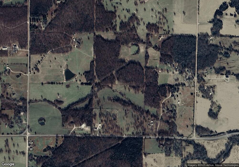
30854 Highway F Lebanon, MO 65536
Estimated Value: $420,380 - $489,000
3
Beds
3
Baths
3,638
Sq Ft
$126/Sq Ft
Est. Value
About This Home
This home is located at 30854 Highway F, Lebanon, MO 65536 and is currently estimated at $458,127, approximately $125 per square foot. 30854 Highway F is a home located in Laclede County with nearby schools including Stoutland Elementary School and Stoutland High School.
Ownership History
Date
Name
Owned For
Owner Type
Purchase Details
Closed on
Apr 23, 2025
Sold by
Bowman Michael and Bowman Amy
Bought by
Bowman Michael J D and Bowman Kaylie
Current Estimated Value
Purchase Details
Closed on
Apr 28, 2017
Sold by
Ross James E
Bought by
Bowman Michael and Bowman Amy
Home Financials for this Owner
Home Financials are based on the most recent Mortgage that was taken out on this home.
Original Mortgage
$249,900
Interest Rate
4.3%
Mortgage Type
VA
Purchase Details
Closed on
Jul 23, 2014
Sold by
Willard Kimberly C
Bought by
Ross James E and Ross Tammy L
Home Financials for this Owner
Home Financials are based on the most recent Mortgage that was taken out on this home.
Original Mortgage
$80,000
Interest Rate
4.23%
Mortgage Type
New Conventional
Create a Home Valuation Report for This Property
The Home Valuation Report is an in-depth analysis detailing your home's value as well as a comparison with similar homes in the area
Home Values in the Area
Average Home Value in this Area
Purchase History
| Date | Buyer | Sale Price | Title Company |
|---|---|---|---|
| Bowman Michael J D | -- | None Listed On Document | |
| Bowman Michael | -- | Jeffries | |
| Ross James E | -- | None Available |
Source: Public Records
Mortgage History
| Date | Status | Borrower | Loan Amount |
|---|---|---|---|
| Previous Owner | Bowman Michael | $249,900 | |
| Previous Owner | Ross James E | $80,000 |
Source: Public Records
Tax History Compared to Growth
Tax History
| Year | Tax Paid | Tax Assessment Tax Assessment Total Assessment is a certain percentage of the fair market value that is determined by local assessors to be the total taxable value of land and additions on the property. | Land | Improvement |
|---|---|---|---|---|
| 2025 | $1,386 | $36,460 | $0 | $0 |
| 2024 | $1,386 | $33,030 | $0 | $0 |
| 2023 | $1,376 | $33,030 | $0 | $0 |
| 2022 | $1,379 | $32,630 | $0 | $0 |
| 2021 | $1,332 | $32,490 | $2,204 | $30,286 |
| 2020 | $1,337 | $32,490 | $2,204 | $30,286 |
| 2019 | $1,338 | $32,610 | $2,270 | $30,340 |
| 2018 | $1,089 | $27,560 | $1,900 | $25,660 |
| 2017 | $903 | $27,560 | $0 | $0 |
| 2016 | $903 | $27,560 | $0 | $0 |
| 2015 | $903 | $27,560 | $0 | $0 |
| 2014 | $903 | $27,300 | $0 | $0 |
| 2013 | -- | $27,300 | $0 | $0 |
Source: Public Records
Map
Nearby Homes
- 7994 Highway F
- 27821 Pacific Dr
- 23550 Parker Ln
- 25990 Pennington Dr
- 26990 U S Route 66
- TBD County Road Vv-225
- 27327 Harrill Ln
- TBD Highway Mm-Tract 2
- 22781 Route 66
- 30871 State Highway Bb
- 30871 Highway Bb
- 30672 Highway Bb
- 22948 Gardner Rd
- 24770 Juniper Rd
- 20448 Oakway Dr
- 26520 Grindstone Rd
- 24473 Remington Ln
- 30420 State Highway Bb
- 20193 SW Oakwood Dr
- TBD Highway Mm-Tract 4
- 30854 Highway F
- 23213 Garden Crest Rd
- 0 Highway F Unit 14025377
- 0 Highway F Unit 22868
- 0 Highway F Unit 23477
- 0 Highway F Unit 22867
- 30671 Highway F
- 28351 Highway F
- 19787 Rt 66
- 19787 Route 66
- 24850 Route 66
- 23379 Horizon Rd
- 23365 Horizon Rd
- 25002 Route 66
- 0 Horizon Rd
- 25004 Route 66
- 28807 Plantation Dr
- 24040 Idaho Rd
- 28847 Plantation Dr
- 28745 State Highway F
