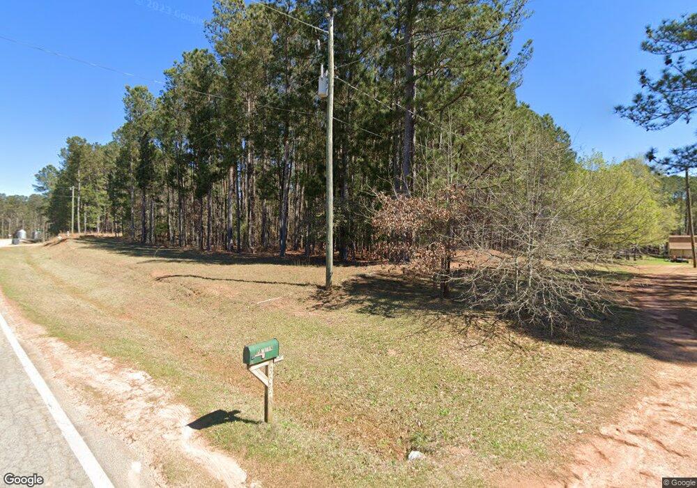
3086 Forrest Rd Hogansville, GA 30230
Estimated Value: $315,959 - $374,000
3
Beds
2
Baths
1,824
Sq Ft
$185/Sq Ft
Est. Value
About This Home
This home is located at 3086 Forrest Rd, Hogansville, GA 30230 and is currently estimated at $337,740, approximately $185 per square foot. 3086 Forrest Rd is a home located in Meriwether County with nearby schools including George E. Washington Elementary School.
Ownership History
Date
Name
Owned For
Owner Type
Purchase Details
Closed on
Nov 17, 1998
Sold by
Lasalle Bank Fsb
Bought by
Paulsen Kevin D
Current Estimated Value
Purchase Details
Closed on
Mar 3, 1998
Sold by
Stinson Marrian
Bought by
Lasalle Bank Fsb
Purchase Details
Closed on
Mar 1, 1995
Sold by
Tucker Robert
Bought by
Stinson Marrian
Purchase Details
Closed on
Apr 1, 1994
Sold by
Dawson Evans and Dawson Lizz
Bought by
Tucker Robert
Purchase Details
Closed on
Jan 1, 1981
Bought by
Dawson Evans and Dawson Lizz
Create a Home Valuation Report for This Property
The Home Valuation Report is an in-depth analysis detailing your home's value as well as a comparison with similar homes in the area
Home Values in the Area
Average Home Value in this Area
Purchase History
| Date | Buyer | Sale Price | Title Company |
|---|---|---|---|
| Paulsen Kevin D | $72,200 | -- | |
| Lasalle Bank Fsb | -- | -- | |
| Stinson Marrian | -- | -- | |
| Tucker Robert | $6,000 | -- | |
| Dawson Evans | $31,400 | -- |
Source: Public Records
Tax History Compared to Growth
Tax History
| Year | Tax Paid | Tax Assessment Tax Assessment Total Assessment is a certain percentage of the fair market value that is determined by local assessors to be the total taxable value of land and additions on the property. | Land | Improvement |
|---|---|---|---|---|
| 2024 | $2,815 | $84,748 | $12,000 | $72,748 |
| 2023 | $2,101 | $60,868 | $12,000 | $48,868 |
| 2022 | $2,101 | $60,868 | $12,000 | $48,868 |
| 2021 | $2,134 | $60,868 | $12,000 | $48,868 |
| 2020 | $2,151 | $60,868 | $12,000 | $48,868 |
| 2019 | $2,157 | $60,868 | $12,000 | $48,868 |
| 2018 | $2,177 | $60,868 | $12,000 | $48,868 |
| 2017 | $2,202 | $60,868 | $12,000 | $48,868 |
| 2016 | $2,004 | $60,868 | $12,000 | $48,868 |
| 2015 | $2,007 | $60,868 | $12,000 | $48,868 |
| 2014 | $2,007 | $60,868 | $12,000 | $48,868 |
| 2013 | -- | $60,868 | $12,000 | $48,868 |
Source: Public Records
Map
Nearby Homes
- 3535 Forrest Rd
- 1511 Forrest Rd
- 98.81 Ellis Rd
- 6608 Highway 100
- 964 Forrest Rd
- 865 Forrest Rd
- 5418 Forrest Rd
- 209 Hannah Ct
- 0 Amanda Ct Unit 10552958
- 0 Amanda Ct Unit 7604243
- 95 Amanda Ct
- 5582 Georgia 100
- 1479 Primrose Rd
- 1314 Tenny Nelson Rd
- 441 Evelyn Dr Unit LOT 16
- 516 Tenney Nelson Rd
- The Millie Plan at Primrose Road
- The Bradford Plan at Primrose Road
- 5151 Primrose Rd
- 2638 Jarrell Rd
- 106 Lowe Stinson Rd
- 0 Stinson Ln Unit 7283979
- 0 Lowe Stinson Ln
- 205 Lowe Stinson Rd
- 105 Lowe Stinson Rd
- 109 Dawson Stinson Rd
- 125 Dawson Stinson Rd
- 3226 Forrest Rd
- 3149 Forrest Rd
- 233 Dawson Stinson Rd
- 2858 Forest Rd
- 2432 Forrest Rd
- 2432 Forrest Rd Unit 77AC
- 0 Cousins Rd Unit 2702192
- 0 Cousins Rd Unit 2904390
- 0 Cousins Rd Unit 2904365
- 0 Cousins Rd Unit 7234158
- 0 Cousins Rd
- 0 Cousins Rd Unit 8506515
- 0 Cousins Rd Unit 7154493