30866 S Oswalt Rd Colton, OR 97017
Estimated Value: $676,000 - $935,000
3
Beds
2
Baths
1,484
Sq Ft
$555/Sq Ft
Est. Value
About This Home
This home is located at 30866 S Oswalt Rd, Colton, OR 97017 and is currently estimated at $824,293, approximately $555 per square foot. 30866 S Oswalt Rd is a home located in Clackamas County with nearby schools including Colton Elementary School, Colton Middle School, and Colton High School.
Ownership History
Date
Name
Owned For
Owner Type
Purchase Details
Closed on
Sep 3, 2019
Sold by
Vaterlaus Eric C and Vaterlaus Darleen R
Bought by
Vaterlaus Darleen R
Current Estimated Value
Purchase Details
Closed on
Mar 18, 2005
Sold by
Yonally Carolyn
Bought by
Vaterlaus Eric C and Vaterlaus Darlene R
Home Financials for this Owner
Home Financials are based on the most recent Mortgage that was taken out on this home.
Original Mortgage
$342,400
Outstanding Balance
$172,431
Interest Rate
5.61%
Mortgage Type
Purchase Money Mortgage
Estimated Equity
$651,862
Create a Home Valuation Report for This Property
The Home Valuation Report is an in-depth analysis detailing your home's value as well as a comparison with similar homes in the area
Home Values in the Area
Average Home Value in this Area
Purchase History
| Date | Buyer | Sale Price | Title Company |
|---|---|---|---|
| Vaterlaus Darleen R | -- | None Available | |
| Vaterlaus Eric C | $428,000 | Fidelity Natl Title Co Of Or |
Source: Public Records
Mortgage History
| Date | Status | Borrower | Loan Amount |
|---|---|---|---|
| Open | Vaterlaus Eric C | $342,400 |
Source: Public Records
Tax History Compared to Growth
Tax History
| Year | Tax Paid | Tax Assessment Tax Assessment Total Assessment is a certain percentage of the fair market value that is determined by local assessors to be the total taxable value of land and additions on the property. | Land | Improvement |
|---|---|---|---|---|
| 2025 | $5,532 | $228,453 | -- | -- |
| 2024 | $2,185 | $179,338 | -- | -- |
| 2023 | $2,185 | $134,712 | $0 | $0 |
| 2022 | $1,588 | $130,811 | $0 | $0 |
| 2021 | $1,512 | $127,001 | $0 | $0 |
| 2020 | $1,470 | $123,312 | $0 | $0 |
| 2019 | $1,426 | $119,741 | $0 | $0 |
| 2018 | $1,393 | $116,253 | $0 | $0 |
| 2017 | $1,356 | $112,878 | $0 | $0 |
| 2016 | $1,308 | $109,614 | $0 | $0 |
| 2015 | $1,271 | $106,426 | $0 | $0 |
| 2014 | $1,269 | $113,764 | $0 | $0 |
Source: Public Records
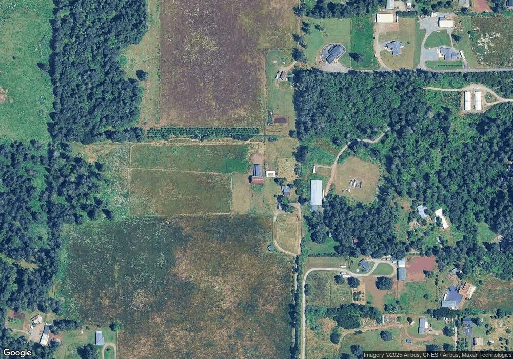
Map
Nearby Homes
- 30725 S Wall St
- 30811 S Oswalt Rd
- 29882 S Hult Rd
- 19807 S Highway 211
- 19345 S Rockney Rd
- 30850 S Marian St
- 30886 S Marian St
- 19400 S Frank Rd
- 32553 S Dhooghe Rd
- 18247 S Highway 211
- 18215 Oregon 211
- 18863 S Norry Ct
- 0 S Hult Rd
- 22816 S Bonney Rd
- 23456 S Schieffer Rd
- 27882 S Mote Ln
- 29555 S Beavercreek Rd
- 23533 S Bonney Rd
- 16290 S Riverview Rd
- 30142 S Meadowbrook Ln
- 20575 S Carlsborg Rd
- 0 S Lynn Marie Ln
- 20567 S Freds Way
- 30880 S Oswalt Rd
- 20583 S Freds Way
- 20645 S Carlsborg Rd
- 20566 S Marie Olsen Ct
- 30851 S Oswalt Rd
- 30861 S Oswalt Rd
- 30841 S Oswalt Rd
- 30896 S Oswalt Rd
- 30831 S Oswalt Rd
- 30806 S Oswalt Rd
- 30725 S Wall St Unit Lot 3
- 30725 S Wall St Unit Lot 2
- 30725 S Wall St Unit Lot 1
- 30725 S Wall St Unit Lot 5
- 30725 S Wall St Unit Lot 4
- 20613 S Freds Way
- 30685 S Wall St