30869 Holaday Rd Scappoose, OR 97056
Estimated Value: $690,123 - $696,000
4
Beds
1
Bath
3,514
Sq Ft
$197/Sq Ft
Est. Value
About This Home
This home is located at 30869 Holaday Rd, Scappoose, OR 97056 and is currently estimated at $693,062, approximately $197 per square foot. 30869 Holaday Rd is a home located in Columbia County with nearby schools including Scappoose High School.
Ownership History
Date
Name
Owned For
Owner Type
Purchase Details
Closed on
Sep 24, 2021
Sold by
Pnl Properties Llc
Bought by
Goldby Mark F
Current Estimated Value
Purchase Details
Closed on
Aug 23, 2019
Sold by
Pnl Properties Llc
Bought by
Pnl Properties Xllc
Purchase Details
Closed on
Apr 23, 2015
Sold by
Verbarendse Hollis L and Verbarendse John M
Bought by
Pnl Properties Llc
Purchase Details
Closed on
Jun 28, 2004
Sold by
Bruegman Reed C
Bought by
Verbarendse Hollis L and Verbarendse John M
Home Financials for this Owner
Home Financials are based on the most recent Mortgage that was taken out on this home.
Original Mortgage
$194,800
Interest Rate
7.87%
Mortgage Type
Purchase Money Mortgage
Create a Home Valuation Report for This Property
The Home Valuation Report is an in-depth analysis detailing your home's value as well as a comparison with similar homes in the area
Home Values in the Area
Average Home Value in this Area
Purchase History
| Date | Buyer | Sale Price | Title Company |
|---|---|---|---|
| Goldby Mark F | $300,000 | Fidelity National Title | |
| Pnl Properties Xllc | -- | Accommodation | |
| Pnl Properties Llc | $290,000 | Fidelity National Title Co | |
| Verbarendse Hollis L | $281,000 | Ticor Title |
Source: Public Records
Mortgage History
| Date | Status | Borrower | Loan Amount |
|---|---|---|---|
| Previous Owner | Verbarendse Hollis L | $194,800 |
Source: Public Records
Tax History Compared to Growth
Tax History
| Year | Tax Paid | Tax Assessment Tax Assessment Total Assessment is a certain percentage of the fair market value that is determined by local assessors to be the total taxable value of land and additions on the property. | Land | Improvement |
|---|---|---|---|---|
| 2025 | $3,470 | $343,266 | $102,856 | $240,410 |
| 2024 | $3,367 | $333,271 | $99,851 | $233,420 |
| 2023 | $3,379 | $323,568 | $92,458 | $231,110 |
| 2022 | $3,212 | $314,145 | $88,825 | $225,320 |
| 2021 | $3,123 | $305,005 | $71,375 | $233,630 |
| 2020 | $3,036 | $296,125 | $65,195 | $230,930 |
| 2019 | $2,964 | $287,509 | $62,579 | $224,930 |
| 2018 | $2,887 | $279,142 | $81,512 | $197,630 |
| 2017 | $2,855 | $271,017 | $79,137 | $191,880 |
| 2016 | $2,915 | $263,123 | $76,833 | $186,290 |
| 2015 | $2,480 | $238,731 | $82,241 | $156,490 |
| 2014 | -- | $204,280 | $78,780 | $125,500 |
Source: Public Records
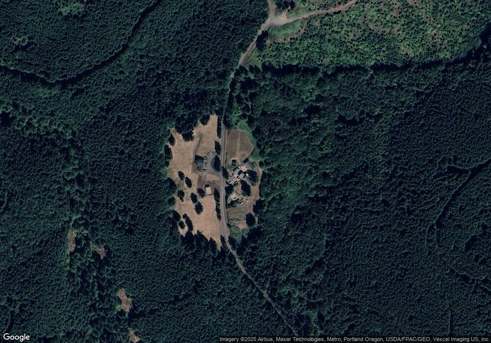
Map
Nearby Homes
- 0 Armstrong Rd Unit 101 23014009
- 0 Reid Rd
- 31444 New Kirk Rd
- 32373 Jp West Rd
- 31287 New Kirk Rd
- 32005 Scappoose Vernonia Hwy
- 32952 NW Ridge Dr
- 32904 NW View Terrace Place
- 33062 Bellcrest Rd
- 32839 SW Crystal Springs Ct
- 32898 SW Keys Landing Way
- 55496 Pioneer Rd
- 0 Viewcrest Dr Unit 24577481
- 32922 Coal Creek Rd
- 33399 NW Ej Smith Rd
- 33374 Wickstrom Dr
- 53194 Columbia River Hwy
- 51557 SW Em Watts Rd
- 52866 NE 2nd St
- 32650 Oester Rd