3087 Tommys Rd Brogue, PA 17309
Estimated Value: $236,000 - $360,000
3
Beds
2
Baths
1,792
Sq Ft
$172/Sq Ft
Est. Value
About This Home
This home is located at 3087 Tommys Rd, Brogue, PA 17309 and is currently estimated at $308,382, approximately $172 per square foot. 3087 Tommys Rd is a home located in York County with nearby schools including Clearview Elementary School, Red Lion Area Junior High School, and Red Lion Area Senior High School.
Ownership History
Date
Name
Owned For
Owner Type
Purchase Details
Closed on
Mar 17, 2016
Sold by
Shue Eric A and Shue Melissa J
Bought by
Shue Eric A
Current Estimated Value
Purchase Details
Closed on
Jan 12, 1998
Sold by
Lepley Jr George R
Bought by
Shue Eric A and Shue Melissa J
Purchase Details
Closed on
Feb 17, 1989
Bought by
Lepley George R
Create a Home Valuation Report for This Property
The Home Valuation Report is an in-depth analysis detailing your home's value as well as a comparison with similar homes in the area
Home Values in the Area
Average Home Value in this Area
Purchase History
| Date | Buyer | Sale Price | Title Company |
|---|---|---|---|
| Shue Eric A | -- | None Available | |
| Shue Eric A | $45,000 | -- | |
| Lepley George R | $126,000 | -- |
Source: Public Records
Tax History Compared to Growth
Tax History
| Year | Tax Paid | Tax Assessment Tax Assessment Total Assessment is a certain percentage of the fair market value that is determined by local assessors to be the total taxable value of land and additions on the property. | Land | Improvement |
|---|---|---|---|---|
| 2025 | $4,547 | $147,840 | $35,240 | $112,600 |
| 2024 | $4,403 | $147,840 | $35,240 | $112,600 |
| 2023 | $4,403 | $147,840 | $35,240 | $112,600 |
| 2022 | $4,403 | $147,840 | $35,240 | $112,600 |
| 2021 | $4,255 | $147,840 | $35,240 | $112,600 |
| 2020 | $4,255 | $147,840 | $35,240 | $112,600 |
| 2019 | $4,240 | $147,840 | $35,240 | $112,600 |
| 2018 | $4,196 | $147,840 | $35,240 | $112,600 |
| 2017 | $4,196 | $147,840 | $35,240 | $112,600 |
| 2016 | $0 | $147,840 | $35,240 | $112,600 |
| 2015 | -- | $147,840 | $35,240 | $112,600 |
| 2014 | -- | $147,840 | $35,240 | $112,600 |
Source: Public Records
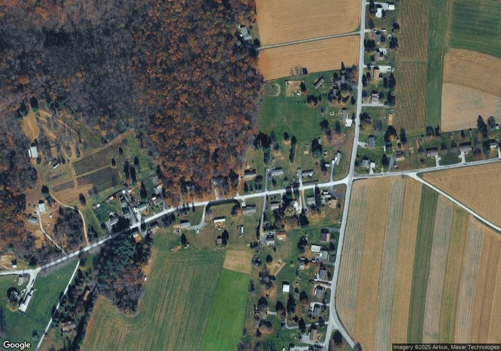
Map
Nearby Homes
- 2733 Manor Furnace Rd
- 2727 Manor Furnace Rd
- 370 High Rock Rd
- 1059 Main Street Extension
- 151 Cold Stream Trail
- 18 Oriole Cir
- 2019 Snyder Rd
- 3 Locust Ln
- 276 Oakbrook Dr
- 335 E Snyder Corner Rd
- 15792 Cross Mill Rd
- 11119 Smith Hollow Rd
- 0 Seitz Rd
- 935 Pleasant Grove Rd
- 3005 Acorn Ln
- 4360 Battlehill Rd
- 1151 Delta Rd
- 7923 Hickory Rd
- 2758 Furnace Rd
- 1063 Snyder Corner Rd
- 3107 Tommys Rd
- 3104 Tommys Rd
- 3084 Tommys Rd
- 3067 Tommys Rd
- 3114 Tommys Rd
- 3124 Tommys Rd
- 3047 Tommys Rd
- 566 Muddy Creek Forks Rd
- 3096 Tommys Rd
- 3044 Tommys Rd
- 540 Muddy Creek Forks Rd
- 576 Muddy Creek Forks Rd
- 3027 Tommys Rd
- 582 Muddy Creek Forks Rd
- 551 Muddy Creek Forks Rd
- 3024 Tommys Rd
- 588 Muddy Creek Forks Rd
- 530 Muddy Creek Forks Rd
- 3017 Tommys Rd
- 533 Muddy Creek Forks Rd