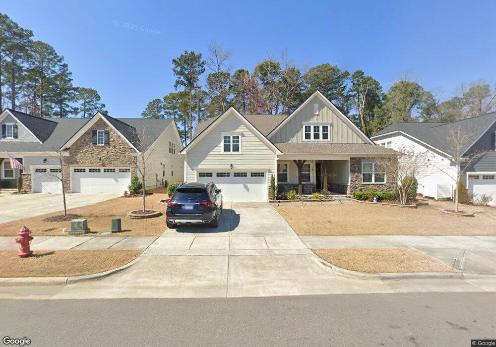
3088 Mavisbank Cir Unit D247 Apex, NC 27502
Friendship NeighborhoodEstimated Value: $750,405 - $792,000
3
Beds
3
Baths
2,711
Sq Ft
$283/Sq Ft
Est. Value
About This Home
This home is located at 3088 Mavisbank Cir Unit D247, Apex, NC 27502 and is currently estimated at $768,351, approximately $283 per square foot. 3088 Mavisbank Cir Unit D247 is a home located in Wake County with nearby schools including Apex Friendship Elementary, Apex Friendship Middle School, and Apex Friendship High School.
Ownership History
Date
Name
Owned For
Owner Type
Purchase Details
Closed on
Jul 27, 2021
Sold by
Hartle Alan W and Hartle Valerie J
Bought by
Nagarkar Ravindra and Nagarkar Deepika
Current Estimated Value
Purchase Details
Closed on
Sep 12, 2019
Sold by
Calatlantic Group Inc
Bought by
Hartle Alan W and Hartle Valerie J
Home Financials for this Owner
Home Financials are based on the most recent Mortgage that was taken out on this home.
Original Mortgage
$311,255
Interest Rate
3.7%
Mortgage Type
New Conventional
Create a Home Valuation Report for This Property
The Home Valuation Report is an in-depth analysis detailing your home's value as well as a comparison with similar homes in the area
Home Values in the Area
Average Home Value in this Area
Purchase History
| Date | Buyer | Sale Price | Title Company |
|---|---|---|---|
| Nagarkar Ravindra | $635,000 | -- | |
| Hartle Alan W | $462,000 | None Available |
Source: Public Records
Mortgage History
| Date | Status | Borrower | Loan Amount |
|---|---|---|---|
| Previous Owner | Hartle Alan W | $311,255 |
Source: Public Records
Tax History Compared to Growth
Tax History
| Year | Tax Paid | Tax Assessment Tax Assessment Total Assessment is a certain percentage of the fair market value that is determined by local assessors to be the total taxable value of land and additions on the property. | Land | Improvement |
|---|---|---|---|---|
| 2025 | -- | $712,260 | $145,000 | $567,260 |
| 2024 | $6,099 | $712,260 | $145,000 | $567,260 |
| 2023 | $5,335 | $484,512 | $80,000 | $404,512 |
| 2022 | $5,008 | $484,512 | $80,000 | $404,512 |
| 2021 | $4,817 | $484,512 | $80,000 | $404,512 |
| 2020 | $4,768 | $484,512 | $80,000 | $404,512 |
| 2019 | $0 | $85,000 | $85,000 | $0 |
Source: Public Records
Map
Nearby Homes
- 3112 Mavisbank Cir
- 3138 Curling Creek Dr
- 1913 Stanlake Dr
- 3156 Curling Creek Dr
- 2010 Song Breeze Ln
- 1608 Kythira Dr
- 610 Cable Ct
- 616 Cable Ct
- 0-0 Mount Zion Church Rd
- 0 Mount Zion Church Rd
- 2842 Lemnos Dr
- 2701 Sugar Mountain Way
- 2966 Lemnos Dr
- 2876 MacIntosh Woods Dr
- 614 Cable Ct
- 2928 Murray Ridge Trail
- 2857 Farmhouse Dr
- 2853 Farmhouse Dr
- 2851 Farmhouse Dr
- 2837 Farmhouse Dr
- 3088 Mavisbank Cir
- 3094 Mavisbank Cir
- 3094 Mavisbank Cir Unit D246
- 3082 Mavisbank Cir
- 3082 Mavisbank Cir Unit D248
- 3078 Mavisbank Cir Unit D249
- 3100 Mavisbank Cir Unit G245
- 3093 Mavisbank Cir
- 3089 Mavisbank Cir
- 3085 Mavisbank Cir
- 3074 Mavisbank Cir Unit D250
- 3081 Mavisbank Cir
- 3101 Mavisbank Cir
- 3101 Mavisbank Cir Unit 357
- 3104 Mavisbank Cir
- 3105 Mavisbank Cir
- 3105 Mavisbank Cir Unit 358
- 3077 Mavisbank Cir Unit D352
- 3108 Mavisbank Cir
- 3108 Mavisbank Cir Unit 243