30897 Neece Rd Middleport, OH 45760
Estimated Value: $149,000 - $196,000
2
Beds
2
Baths
1,440
Sq Ft
$119/Sq Ft
Est. Value
About This Home
This home is located at 30897 Neece Rd, Middleport, OH 45760 and is currently estimated at $171,189, approximately $118 per square foot. 30897 Neece Rd is a home located in Meigs County with nearby schools including Meigs Primary School, Meigs Intermediate School, and Meigs Middle School.
Ownership History
Date
Name
Owned For
Owner Type
Purchase Details
Closed on
Mar 19, 2019
Sold by
Schartiger James and Schartiger Loretta
Bought by
Neece Christopher and Neece Kelli
Current Estimated Value
Home Financials for this Owner
Home Financials are based on the most recent Mortgage that was taken out on this home.
Original Mortgage
$77,671
Outstanding Balance
$59,432
Interest Rate
4.4%
Mortgage Type
Future Advance Clause Open End Mortgage
Estimated Equity
$111,757
Purchase Details
Closed on
Jul 26, 2001
Bought by
Schartiger James Schartiger Loretta
Create a Home Valuation Report for This Property
The Home Valuation Report is an in-depth analysis detailing your home's value as well as a comparison with similar homes in the area
Purchase History
| Date | Buyer | Sale Price | Title Company |
|---|---|---|---|
| Neece Christopher | $80,000 | None Available | |
| Schartiger James Schartiger Loretta | -- | -- |
Source: Public Records
Mortgage History
| Date | Status | Borrower | Loan Amount |
|---|---|---|---|
| Open | Neece Christopher | $77,671 |
Source: Public Records
Tax History
| Year | Tax Paid | Tax Assessment Tax Assessment Total Assessment is a certain percentage of the fair market value that is determined by local assessors to be the total taxable value of land and additions on the property. | Land | Improvement |
|---|---|---|---|---|
| 2024 | $1,102 | $34,470 | $12,210 | $22,260 |
| 2023 | $1,037 | $34,470 | $12,210 | $22,260 |
| 2022 | $1,047 | $34,470 | $12,210 | $22,260 |
| 2021 | $1,180 | $33,500 | $12,220 | $21,280 |
| 2020 | $1,185 | $33,500 | $12,220 | $21,280 |
| 2019 | $1,186 | $33,500 | $12,220 | $21,280 |
| 2018 | $994 | $28,390 | $7,770 | $20,620 |
| 2017 | $994 | $28,390 | $7,770 | $20,620 |
| 2016 | $984 | $28,390 | $7,770 | $20,620 |
| 2014 | $482 | $13,820 | $7,770 | $6,050 |
| 2013 | $482 | $13,710 | $7,770 | $5,940 |
Source: Public Records
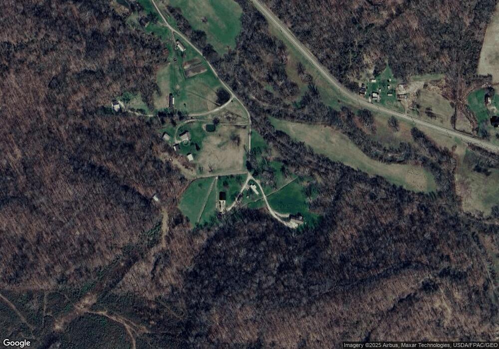
Map
Nearby Homes
- 31853 Dead Mans Curve Rd
- 32164 Avenue Bridge Rd
- 37422 State Route 124
- 1368 Powell St
- 673 High St
- 507 Mill St
- 206 Beech St
- 553 Fourth
- 131 Ebenezer St
- 32290 Bailey Run Rd
- 33475 Bailey Run Rd
- 0 Lincoln Heights Unit 2433021
- 0 Lincoln Dr
- 6 Cave St
- 0 Wells Rd
- 653 Osborne St
- 0 Happy Hollow Rd
- 102 Holly Ln
- 104 Terrell Dr
- 213 Mulberry Ave
- 30877 Neece Rd
- 30830 Neece Rd
- 38564 Bradbury Rd
- 30919 Neece Rd
- 31121 Neece Rd
- 38660 Cr5 Bradbury
- 38544 Bradbury Rd
- 30920 McElhinney Rd
- 38970 Bradbury Rd
- 30970 Meiers Rd
- 31010 Meiers Rd
- 31040 Meiers Rd
- 39054 Bradbury Rd
- 38500 Bradbury Rd
- 31078 McElhinney Rd
- 39020 Bradbury Rd
- 0 McElhinney Hill Rd
- 38208 Leading Creek Rd
- 39050 Bradbury Rd
- 38374 Leading Creek Rd
Your Personal Tour Guide
Ask me questions while you tour the home.