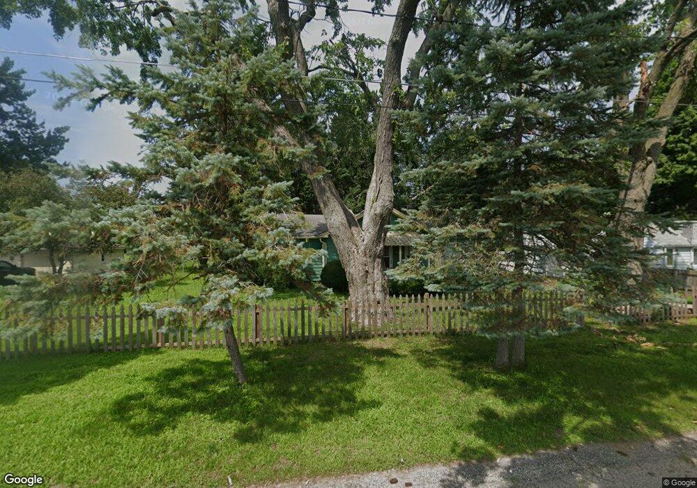
309 4th St Cedar Springs, MI 49319
Estimated Value: $253,000 - $324,000
2
Beds
2
Baths
1,182
Sq Ft
$242/Sq Ft
Est. Value
About This Home
This home is located at 309 4th St, Cedar Springs, MI 49319 and is currently estimated at $286,264, approximately $242 per square foot. 309 4th St is a home located in Kent County with nearby schools including Cedar Trails Elementary School, Red Hawk Intermediate School, and Beach Elementary School.
Ownership History
Date
Name
Owned For
Owner Type
Purchase Details
Closed on
Jul 28, 2015
Sold by
Eldred Basilisa and Eldred Stephen
Bought by
Haack Ethan F and Nastale Katie
Current Estimated Value
Home Financials for this Owner
Home Financials are based on the most recent Mortgage that was taken out on this home.
Original Mortgage
$127,070
Outstanding Balance
$99,872
Interest Rate
4.01%
Mortgage Type
New Conventional
Estimated Equity
$186,392
Purchase Details
Closed on
May 18, 2011
Sold by
Eldred Bruce V
Bought by
Eldred Bruce V and Eldred Sheryl L
Purchase Details
Closed on
Apr 20, 2011
Sold by
Eldred Bruce Vernon and Eldred Sheryl Lynn
Bought by
Eldred Mark Stephen and Eldred Basiisa Gaas
Purchase Details
Closed on
Nov 4, 2009
Sold by
Eldred Vernon R and Eldred Delores P
Bought by
Eldred Vernon R and Eldred Delores P
Create a Home Valuation Report for This Property
The Home Valuation Report is an in-depth analysis detailing your home's value as well as a comparison with similar homes in the area
Home Values in the Area
Average Home Value in this Area
Purchase History
| Date | Buyer | Sale Price | Title Company |
|---|---|---|---|
| Haack Ethan F | $131,000 | None Available | |
| Eldred Mark Stephen | $75,000 | None Available | |
| Eldred Bruce V | -- | None Available | |
| Eldred Mark Stephen | $75,000 | None Available | |
| Eldred Vernon R | -- | None Available |
Source: Public Records
Mortgage History
| Date | Status | Borrower | Loan Amount |
|---|---|---|---|
| Open | Haack Ethan F | $127,070 |
Source: Public Records
Tax History Compared to Growth
Tax History
| Year | Tax Paid | Tax Assessment Tax Assessment Total Assessment is a certain percentage of the fair market value that is determined by local assessors to be the total taxable value of land and additions on the property. | Land | Improvement |
|---|---|---|---|---|
| 2025 | $2,987 | $106,500 | $0 | $0 |
| 2024 | $2,987 | $96,500 | $0 | $0 |
| 2023 | $2,843 | $87,200 | $0 | $0 |
| 2022 | $2,877 | $71,900 | $0 | $0 |
| 2021 | $2,830 | $60,700 | $0 | $0 |
| 2020 | $3,432 | $76,600 | $0 | $0 |
| 2019 | $3,397 | $81,200 | $0 | $0 |
| 2018 | $2,951 | $70,100 | $0 | $0 |
| 2017 | $2,871 | $64,500 | $0 | $0 |
| 2016 | $2,788 | $34,400 | $0 | $0 |
| 2015 | -- | $34,400 | $0 | $0 |
| 2013 | -- | $32,300 | $0 | $0 |
Source: Public Records
Map
Nearby Homes
- 260 Pear St NE
- 295 8th St NE
- 340 West St
- 373 Cedar St NE
- 4398 17 Mile Rd NE
- 69 S Main
- 71 N 2nd St NE
- 115 E Cherry St NE
- 281 Ronald St NE
- 139 N 5th St NE
- 224 Ann St NE
- 361 Ronald St NE
- 197 E Elm St
- 369 E Muskegon St
- 5069 Dio Dr
- 322 E Ash St NE
- 249 Maple
- 520 Needlewood Dr
- 490 Pioneer Trail
- 11288 18 Mile Rd NE