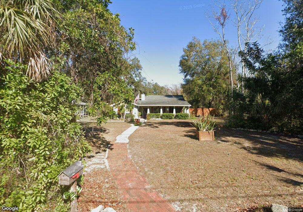
309 7th St N Safety Harbor, FL 34695
Estimated Value: $876,515 - $944,000
--
Bed
1
Bath
2,855
Sq Ft
$322/Sq Ft
Est. Value
About This Home
This home is located at 309 7th St N, Safety Harbor, FL 34695 and is currently estimated at $920,379, approximately $322 per square foot. 309 7th St N is a home located in Pinellas County with nearby schools including Safety Harbor Elementary School, Countryside High School, and Safety Harbor Middle School.
Ownership History
Date
Name
Owned For
Owner Type
Purchase Details
Closed on
Feb 2, 2011
Sold by
The Bank Of New York Mellon Trust Compan
Bought by
Kyle Tracy C
Current Estimated Value
Home Financials for this Owner
Home Financials are based on the most recent Mortgage that was taken out on this home.
Original Mortgage
$144,400
Interest Rate
3.75%
Mortgage Type
New Conventional
Purchase Details
Closed on
Apr 19, 2010
Sold by
Fisher Robert Brady and First Tennessee Bank National
Bought by
The Bank Of New York Trust Company Na
Create a Home Valuation Report for This Property
The Home Valuation Report is an in-depth analysis detailing your home's value as well as a comparison with similar homes in the area
Home Values in the Area
Average Home Value in this Area
Purchase History
| Date | Buyer | Sale Price | Title Company |
|---|---|---|---|
| Kyle Tracy C | $180,500 | First American Title Ins Co | |
| The Bank Of New York Mellon Trust Compan | -- | First American Title Ins Co | |
| The Bank Of New York Trust Company Na | -- | Attorney |
Source: Public Records
Mortgage History
| Date | Status | Borrower | Loan Amount |
|---|---|---|---|
| Previous Owner | Kyle Tracy C | $144,400 |
Source: Public Records
Tax History Compared to Growth
Tax History
| Year | Tax Paid | Tax Assessment Tax Assessment Total Assessment is a certain percentage of the fair market value that is determined by local assessors to be the total taxable value of land and additions on the property. | Land | Improvement |
|---|---|---|---|---|
| 2024 | $4,883 | $321,159 | -- | -- |
| 2023 | $4,883 | $311,805 | $0 | $0 |
| 2022 | $4,791 | $302,723 | $0 | $0 |
| 2021 | $4,898 | $293,906 | $0 | $0 |
| 2020 | $5,003 | $289,848 | $0 | $0 |
| 2019 | $4,963 | $283,331 | $0 | $0 |
| 2018 | $4,929 | $278,048 | $0 | $0 |
| 2017 | $4,886 | $272,329 | $0 | $0 |
| 2016 | $4,844 | $266,728 | $0 | $0 |
| 2015 | $4,913 | $264,874 | $0 | $0 |
| 2014 | $4,822 | $259,753 | $0 | $0 |
Source: Public Records
Map
Nearby Homes
- 680 1st Ave N
- 26 Ridgecroft Ln
- 1014 Bramblewood Ct
- 5 Jefferson St
- 6 Jefferson St
- 7 Jefferson St
- 2 Jefferson St
- 4 Jefferson St
- 3 Jefferson St
- 8 Jefferson St
- 1045 Conant Ave
- 241 5th Ave N
- Lot 1 Jefferson St
- 1050 Conant Ave
- 44 Ridgecroft Ln
- 1045 Jesse Ave
- 1103 Kensington Ct
- 839 3rd St N
- 735 2nd St N
- 1050 Jesse Ave
- 301 7th St N
- 633 4th Ave N
- 310 7th St N Unit A
- 310 7th St N Unit A
- 310 7th St N Unit C
- 310 7th St N Unit E
- 310 7th St N
- 625 4th Ave N
- 631 4th Ave N
- Meldrum St
- Meldrum St
- 655 3rd Ave N Unit B
- 655 3rd Ave N Unit A
- 655 3rd Ave N Unit D
- 7 Creekside Ct
- 10 Creekside Ct
- 8 Creekside Ct
- 6 Creekside Ct
- 5 Creekside Ct
- 4 Creekside Ct