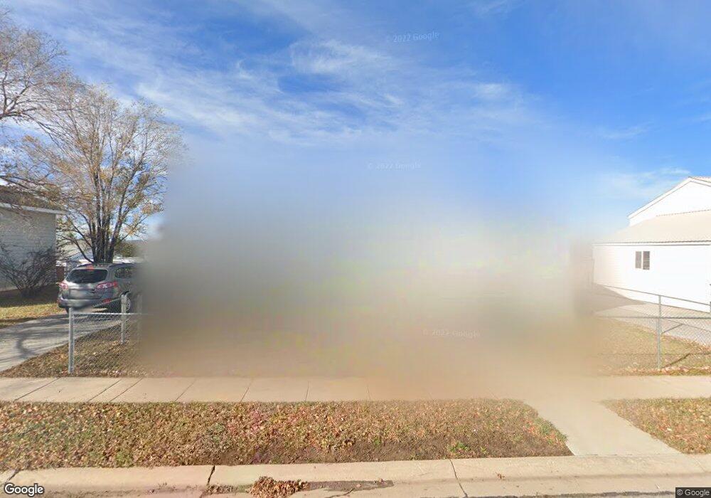
309 Alpine Cir Evanston, WY 82930
Estimated Value: $202,000 - $304,000
3
Beds
2
Baths
1,056
Sq Ft
$230/Sq Ft
Est. Value
About This Home
This home is located at 309 Alpine Cir, Evanston, WY 82930 and is currently estimated at $243,000, approximately $230 per square foot. 309 Alpine Cir is a home located in Uinta County with nearby schools including Evanston High School and Evanston Child Development Center.
Ownership History
Date
Name
Owned For
Owner Type
Purchase Details
Closed on
Apr 3, 2009
Sold by
Davison Bryan Earle and Davison Aiman E
Bought by
Dikes Nick B
Current Estimated Value
Home Financials for this Owner
Home Financials are based on the most recent Mortgage that was taken out on this home.
Original Mortgage
$107,549
Outstanding Balance
$68,715
Interest Rate
5.14%
Mortgage Type
FHA
Estimated Equity
$174,285
Purchase Details
Closed on
Mar 28, 2009
Sold by
Davison Bryan Earle and Davison Aiman E
Bought by
Davison Bryan Earle and Davison Aiman E
Home Financials for this Owner
Home Financials are based on the most recent Mortgage that was taken out on this home.
Original Mortgage
$107,549
Outstanding Balance
$68,715
Interest Rate
5.14%
Mortgage Type
FHA
Estimated Equity
$174,285
Purchase Details
Closed on
May 13, 2007
Sold by
Ellingford Garry B and Ellingford Vivian
Bought by
Davison Bryan Earle and Korazova Aiman Y
Create a Home Valuation Report for This Property
The Home Valuation Report is an in-depth analysis detailing your home's value as well as a comparison with similar homes in the area
Purchase History
| Date | Buyer | Sale Price | Title Company |
|---|---|---|---|
| Dikes Nick B | -- | None Available | |
| Davison Bryan Earle | -- | None Available | |
| Davison Bryan Earle | -- | None Available |
Source: Public Records
Mortgage History
| Date | Status | Borrower | Loan Amount |
|---|---|---|---|
| Open | Dikes Nick B | $107,549 |
Source: Public Records
Tax History
| Year | Tax Paid | Tax Assessment Tax Assessment Total Assessment is a certain percentage of the fair market value that is determined by local assessors to be the total taxable value of land and additions on the property. | Land | Improvement |
|---|---|---|---|---|
| 2025 | $1,025 | $11,294 | $1,118 | $10,176 |
| 2024 | $1,025 | $15,081 | $1,433 | $13,648 |
| 2023 | $1,112 | $16,437 | $1,898 | $14,539 |
| 2022 | $939 | $13,797 | $1,889 | $11,908 |
| 2021 | $830 | $12,173 | $1,607 | $10,566 |
| 2020 | $730 | $10,712 | $1,592 | $9,120 |
| 2019 | $707 | $10,399 | $1,592 | $8,807 |
| 2018 | $0 | $10,770 | $1,336 | $9,434 |
| 2017 | $706 | $10,398 | $1,176 | $9,222 |
| 2016 | $705 | $10,361 | $1,176 | $9,185 |
| 2015 | -- | $10,575 | $1,283 | $9,292 |
| 2014 | -- | $10,515 | $0 | $0 |
Source: Public Records
Map
Nearby Homes
- 342 Alpine Cir
- 338 Alpine Cir
- 2884 lot #1119 Yellowcreek Rd
- 3893 Yellow Creek Rd
- 3925 Yellow Creek Rd
- 3827 Yellow Creek Rd
- 3861 Yellow Creek Rd
- 127 Red Hawk Ave
- 161 Lodgepole Dr
- 91 Lodgepole Dr
- 233 Tomahawk Dr
- 115 Kachina Dr
- 313 Wright Way
- 320 Ottley Dr
- 310 Ottley Dr
- .24 acres Davis Dr
- 325 Davis Dr
- 223 Barber Ave
- 221 Barber Ave
- 631 Stahley Ave
- 343 Worland Cir
- 305 Alpine Cir
- 347 Worland Cir
- 310 Alpine Cir
- 339 Worland Cir
- 304 Alpine Cir
- 304 Alpine Cir Unit Sundance
- 855 Sundance Ave
- 861 Sundance Ave
- 317 Alpine Cir
- 843 Sundance Ave
- 342 Worland Cir
- 320 Alpine Cir
- 346 Worland Cir
- 338 Worland Cir
- 873 Sundance Ave
- 335 Worland Cir
- 836 Sundance Ave
- 308 Worland Cir
- 854 Sundance Ave
Your Personal Tour Guide
Ask me questions while you tour the home.