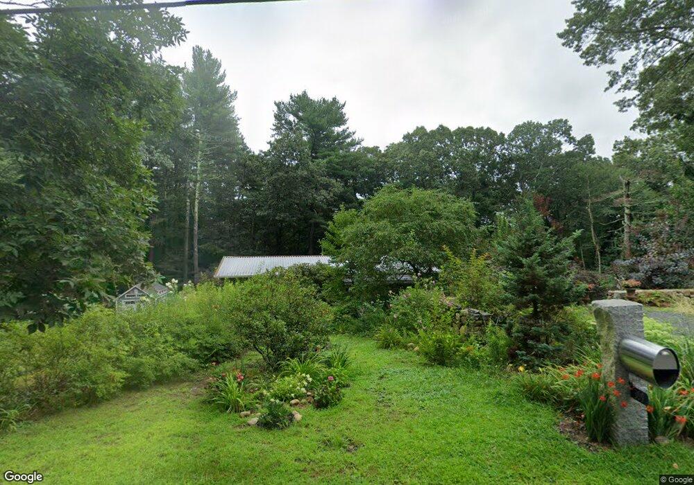
309 Annursnac Hill Rd Concord, MA 01742
Estimated Value: $1,165,327 - $1,363,000
3
Beds
3
Baths
1,664
Sq Ft
$752/Sq Ft
Est. Value
About This Home
This home is located at 309 Annursnac Hill Rd, Concord, MA 01742 and is currently estimated at $1,250,832, approximately $751 per square foot. 309 Annursnac Hill Rd is a home located in Middlesex County with nearby schools including Thoreau Elementary School, Concord Middle School, and Concord Carlisle High School.
Ownership History
Date
Name
Owned For
Owner Type
Purchase Details
Closed on
Nov 13, 1987
Sold by
Cook James C
Bought by
Centauro Joseph A
Current Estimated Value
Home Financials for this Owner
Home Financials are based on the most recent Mortgage that was taken out on this home.
Original Mortgage
$265,000
Interest Rate
11.13%
Mortgage Type
Purchase Money Mortgage
Create a Home Valuation Report for This Property
The Home Valuation Report is an in-depth analysis detailing your home's value as well as a comparison with similar homes in the area
Home Values in the Area
Average Home Value in this Area
Purchase History
| Date | Buyer | Sale Price | Title Company |
|---|---|---|---|
| Centauro Joseph A | $355,000 | -- |
Source: Public Records
Mortgage History
| Date | Status | Borrower | Loan Amount |
|---|---|---|---|
| Open | Centauro Joseph A | $280,000 | |
| Closed | Centauro Joseph A | $33,000 | |
| Closed | Centauro Joseph A | $265,000 | |
| Previous Owner | Centauro Joseph A | $98,000 |
Source: Public Records
Tax History Compared to Growth
Tax History
| Year | Tax Paid | Tax Assessment Tax Assessment Total Assessment is a certain percentage of the fair market value that is determined by local assessors to be the total taxable value of land and additions on the property. | Land | Improvement |
|---|---|---|---|---|
| 2025 | $142 | $1,073,000 | $637,700 | $435,300 |
| 2024 | $13,856 | $1,055,300 | $637,700 | $417,600 |
| 2023 | $12,035 | $928,600 | $511,500 | $417,100 |
| 2022 | $11,356 | $769,400 | $409,100 | $360,300 |
| 2021 | $10,693 | $726,400 | $409,100 | $317,300 |
| 2020 | $10,554 | $741,700 | $409,100 | $332,600 |
| 2019 | $10,082 | $710,500 | $413,100 | $297,400 |
| 2018 | $10,002 | $699,900 | $413,500 | $286,400 |
| 2017 | $10,254 | $728,800 | $408,200 | $320,600 |
| 2016 | $9,750 | $700,400 | $408,200 | $292,200 |
| 2015 | $9,210 | $644,500 | $377,900 | $266,600 |
Source: Public Records
Map
Nearby Homes
- 855 Barretts Mill Rd
- 79-81 Assabet Ave
- 19 Whippoorwill Ln
- 10 Wingate Ln
- 104 Channing Rd
- 1 Bayberry Rd
- 134 Pope Rd
- 295 Musterfield Rd
- 987 Lowell Rd
- 138 Baker Ave
- 488 Elm St
- 244 Musterfield Rd
- 247 Pope Rd
- 249 Pope Rd
- 11 Horseshoe Dr
- 16 Concord Greene Unit 5
- 29 Concord Greene Unit 2
- 23 Concord Greene Unit 4
- 24 Concord Greene Unit 7
- 213 Nashoba Rd
- 295 Annursnac Hill Rd
- 149 College Rd
- 336 Annursnac Hill Rd
- 760 Annursnac Hill Rd
- 275 Annursnac Hill Rd
- 163 College Rd
- 743 Annursnac Hill Rd
- 133 College Rd
- 211 College Rd
- 187 College Rd
- 736 Annursnac Hill Rd
- 121 College Rd
- 239 College Rd
- 722 Annursnac Hill Rd
- 713 Annursnac Hill Rd
- 260 Annursnac Hill Rd
- 107 College Rd
- 4 Wright Farm
- 2 Wright Farm
- 706 Annursnac Hill Rd