309 Brent Rd Barnesville, GA 30204
Estimated Value: $166,000 - $563,156
Studio
--
Bath
2,580
Sq Ft
$134/Sq Ft
Est. Value
About This Home
This home is located at 309 Brent Rd, Barnesville, GA 30204 and is currently estimated at $344,789, approximately $133 per square foot. 309 Brent Rd is a home with nearby schools including Lamar County Primary School, Lamar County Elementary School, and Lamar County Middle School.
Ownership History
Date
Name
Owned For
Owner Type
Purchase Details
Closed on
Aug 3, 2023
Sold by
Newton Rainer Michael
Bought by
Rainer Kimberly Ruby and Newton Rainer Michael
Current Estimated Value
Purchase Details
Closed on
Jan 21, 2011
Sold by
Robbins Karen Christine Si
Bought by
Rainer Michael Newton
Purchase Details
Closed on
Oct 21, 2010
Sold by
Sims Doris F
Bought by
Rainer Michael Newton
Purchase Details
Closed on
Jun 1, 1994
Bought by
Sims Doris F
Create a Home Valuation Report for This Property
The Home Valuation Report is an in-depth analysis detailing your home's value as well as a comparison with similar homes in the area
Purchase History
| Date | Buyer | Sale Price | Title Company |
|---|---|---|---|
| Rainer Kimberly Ruby | -- | -- | |
| Rainer Michael Newton | -- | -- | |
| Robbins Karen Christine Sims | -- | -- | |
| Rainer Michael Newton | -- | -- | |
| Sims Doris F | -- | -- |
Source: Public Records
Tax History
| Year | Tax Paid | Tax Assessment Tax Assessment Total Assessment is a certain percentage of the fair market value that is determined by local assessors to be the total taxable value of land and additions on the property. | Land | Improvement |
|---|---|---|---|---|
| 2025 | $3,345 | $208,151 | $74,064 | $134,087 |
| 2024 | $3,164 | $184,311 | $74,064 | $110,247 |
| 2023 | $3,072 | $172,299 | $74,064 | $98,235 |
| 2022 | $2,907 | $147,497 | $54,862 | $92,635 |
| 2021 | $2,659 | $130,978 | $54,862 | $76,116 |
| 2020 | $2,703 | $132,787 | $56,671 | $76,116 |
| 2019 | $2,699 | $132,787 | $56,671 | $76,116 |
| 2018 | $2,583 | $132,787 | $56,671 | $76,116 |
| 2017 | $2,560 | $132,787 | $56,671 | $76,116 |
| 2016 | $2,552 | $132,787 | $56,671 | $76,116 |
| 2015 | $2,537 | $132,787 | $56,671 | $76,116 |
| 2014 | $2,451 | $132,787 | $56,671 | $76,116 |
| 2013 | -- | $132,786 | $56,671 | $76,115 |
Source: Public Records
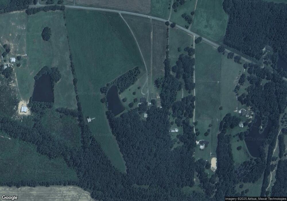
Map
Nearby Homes
- 272 Community House Rd
- 1904 U S 341
- TRACT 6 Ramah Church Rd Unit 6
- TRACT 9 Ramah Church Rd Unit 9
- 342 Ramah Church Rd
- 202 Community House Rd
- 208 Community House Rd
- 187 Coffey Rd
- 523 Fredonia Church Rd
- 0 Us Highway 41
- 1013 Veterans Pkwy
- 1505 Willis Rd
- 108 Bradley Cir
- 0 Martin Luther King Junior Pkwy
- 336 Means Rd
- 330 Country Kitchen Rd
- 329 Pine St
- 395 Country Kitchen Rd
- 0 Hannah St Unit LOT 1 10587177
- 0 College Dr Unit 10632977
Your Personal Tour Guide
Ask me questions while you tour the home.