309 Brink St Grayling, MI 49738
Estimated Value: $109,719 - $217,000
About This Home
This home is located at 309 Brink St, Grayling, MI 49738 and is currently estimated at $153,930, approximately $76 per square foot. 309 Brink St is a home located in Crawford County with nearby schools including Grayling Elementary School, Grayling Middle School, and Grayling High School.
Ownership History
We collect this data history from publicly available records. To have your information removed, we recommend requesting removal directly through your county’s website.
Purchase Details
Purchase Details
Purchase Details
Purchase Details
Purchase Details
Purchase Details
Purchase Details
Purchase Details
Home Values in the Area
Average Home Value in this Area
Purchase History
We collect this data history from publicly available records. To have your information removed, we recommend requesting removal directly through your county’s website.
| Date | Buyer | Sale Price | Title Company |
|---|---|---|---|
| $25,500 | -- | ||
| -- | -- | ||
| $48,500 | -- | ||
| -- | -- | ||
| -- | -- | ||
| -- | -- | ||
| -- | -- | ||
| $10,500 | -- |
Tax History
We collect this data history from publicly available records. To have your information removed, we recommend requesting removal directly through your county’s website.
| Year | Tax Paid | Tax Assessment Tax Assessment Total Assessment is a certain percentage of the fair market value that is determined by local assessors to be the total taxable value of land and additions on the property. | Land | Improvement |
|---|---|---|---|---|
| 2026 | $872 | $63,500 | $63,500 | $0 |
| 2025 | $714 | $55,400 | $55,400 | $0 |
| 2024 | $696 | $50,200 | $50,200 | $0 |
| 2023 | $664 | $44,500 | $44,500 | $0 |
| 2022 | $632 | $40,300 | $40,300 | $0 |
| 2021 | $771 | $36,800 | $36,800 | $0 |
| 2020 | $761 | $36,200 | $36,200 | $0 |
| 2019 | $744 | $34,600 | $34,600 | $0 |
| 2018 | $705 | $24,900 | $24,900 | $0 |
| 2017 | $582 | $25,300 | $25,300 | $0 |
| 2016 | $577 | $24,100 | $24,100 | $0 |
| 2015 | -- | $24,100 | $0 | $0 |
| 2014 | -- | $15,200 | $0 | $0 |
| 2013 | -- | $16,400 | $0 | $0 |
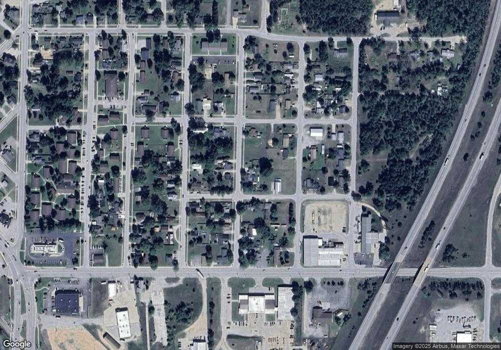
Map
- 144 Mikado St
- 101 Milltown Ct
- 110 State St
- 444 Interstate 75 Business Loop
- 1205 E Michigan Ave
- 1107 Ogemaw St
- 705 Plum St
- 4851 W North Down River Rd
- 107 Vilas St
- 1301 W North Down River Rd
- 809 Maple St
- 105 Evergreen Dr
- 1024 S I-75 Business Loop
- 5973 W M-72 Hwy
- 309 Lillian St
- 390 E Ember Trail
- V/L L71-75 Evergreen Dr
- 505 Isenhauer Rd
- 6440 Richard Rd
- 2153 Viking Way
Ask me questions while you tour the home.