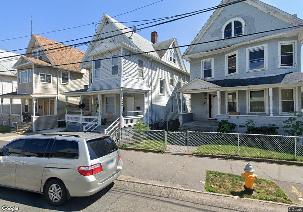
309 Cottage St Unit 311 Bridgeport, CT 06605
West End-West Side NeighborhoodEstimated Value: $180,477 - $574,000
6
Beds
3
Baths
3,217
Sq Ft
$146/Sq Ft
Est. Value
About This Home
This home is located at 309 Cottage St Unit 311, Bridgeport, CT 06605 and is currently estimated at $468,369, approximately $145 per square foot. 309 Cottage St Unit 311 is a home located in Fairfield County with nearby schools including Roosevelt School, Bassick High School, and New Beginnings Family Academy.
Ownership History
Date
Name
Owned For
Owner Type
Purchase Details
Closed on
Apr 28, 2000
Sold by
Shore Winds Llc
Bought by
Ayala Nelson
Current Estimated Value
Purchase Details
Closed on
Feb 4, 1997
Sold by
Szalan Edward F
Bought by
Shore Winds Llc
Home Financials for this Owner
Home Financials are based on the most recent Mortgage that was taken out on this home.
Original Mortgage
$45,200
Interest Rate
7.65%
Mortgage Type
Unknown
Create a Home Valuation Report for This Property
The Home Valuation Report is an in-depth analysis detailing your home's value as well as a comparison with similar homes in the area
Home Values in the Area
Average Home Value in this Area
Purchase History
| Date | Buyer | Sale Price | Title Company |
|---|---|---|---|
| Ayala Nelson | $70,000 | -- | |
| Ayala Nelson | $70,000 | -- | |
| Shore Winds Llc | $56,500 | -- | |
| Shore Winds Llc | $56,500 | -- |
Source: Public Records
Mortgage History
| Date | Status | Borrower | Loan Amount |
|---|---|---|---|
| Previous Owner | Shore Winds Llc | $45,200 | |
| Previous Owner | Shore Winds Llc | $45,200 |
Source: Public Records
Tax History Compared to Growth
Tax History
| Year | Tax Paid | Tax Assessment Tax Assessment Total Assessment is a certain percentage of the fair market value that is determined by local assessors to be the total taxable value of land and additions on the property. | Land | Improvement |
|---|---|---|---|---|
| 2025 | $7,189 | $165,460 | $31,650 | $133,810 |
| 2024 | $7,189 | $165,460 | $31,650 | $133,810 |
| 2023 | $7,189 | $165,460 | $31,650 | $133,810 |
| 2022 | $7,189 | $165,460 | $31,650 | $133,810 |
| 2021 | $7,189 | $165,460 | $31,650 | $133,810 |
| 2020 | $7,136 | $132,170 | $21,240 | $110,930 |
| 2019 | $7,136 | $132,170 | $21,240 | $110,930 |
| 2018 | $7,186 | $132,170 | $21,240 | $110,930 |
| 2017 | $7,186 | $132,170 | $21,240 | $110,930 |
| 2016 | $7,186 | $132,170 | $21,240 | $110,930 |
| 2015 | $7,779 | $184,330 | $29,850 | $154,480 |
| 2014 | $7,779 | $184,330 | $29,850 | $154,480 |
Source: Public Records
Map
Nearby Homes
- 757 Iranistan Ave Unit 759
- 201 Lewis St Unit 203
- 162 Cottage St
- 144 Cottage St
- 15 Seeley St
- 90 Lee Ave
- 150 Clinton Ave
- 357 Norman St
- 43 Clinton Ave Unit 45
- 21 Little St
- 22 Sims St
- 72 Sims St
- 373 Iranistan Ave
- 393 Laurel Ave Unit 203
- 393 Laurel Ave Unit 415
- 103 Sims St
- 221 Alsace St
- 217 Alsace St
- 164 Flanders St
- 1169 Iranistan Ave
- 315 Cottage St
- 114 -118 Norman St
- 114 -118 Norman St Unit 2
- 295 Cottage St Unit 297
- 114 Norman St Unit 2
- 114 Norman St Unit 118
- 114 Norman St Unit 1
- 114 Norman St Unit 3
- 116 Norman St Unit 2
- 287 Cottage St
- 287 Cottage St Unit 1
- 1 Wallace Ct
- 2 Wallace Ct
- 150 Norman St Unit 154
- 106 Norman St Unit 110
- 106 Norman St Unit 2ndfl
- 106 Norman St Unit 3rdfl
- 106 Norman St Unit 1st flr
- 156 Norman St Unit 160
- 156 Norman St Unit 3RD