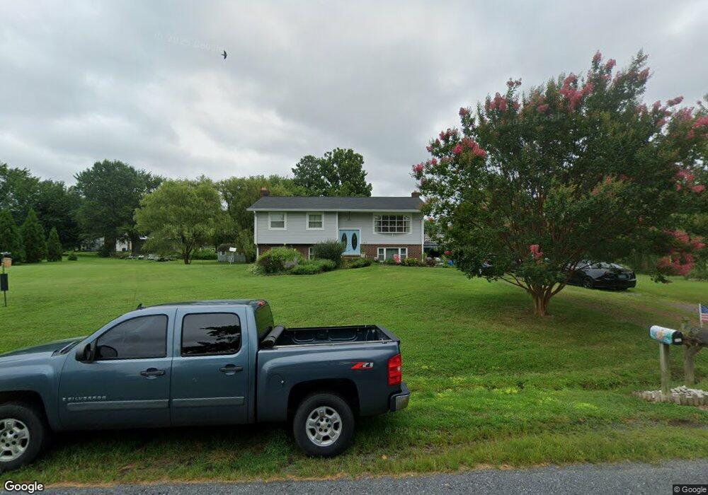
309 Drovers Way Stevensville, MD 21666
Estimated Value: $529,487 - $572,000
--
Bed
3
Baths
1,320
Sq Ft
$417/Sq Ft
Est. Value
About This Home
This home is located at 309 Drovers Way, Stevensville, MD 21666 and is currently estimated at $550,872, approximately $417 per square foot. 309 Drovers Way is a home located in Queen Anne's County with nearby schools including Matapeake Elementary School, Matapeake Middle School, and Kent Island High School.
Ownership History
Date
Name
Owned For
Owner Type
Purchase Details
Closed on
Nov 26, 2003
Sold by
Cornell Ken William
Bought by
Lee Richard M and Lee Rosemary A
Current Estimated Value
Purchase Details
Closed on
Mar 2, 1999
Sold by
Boswell Joseph E and Boswell Margaret J
Bought by
Cornell Ken William and Cornell Ken William Patricia J
Create a Home Valuation Report for This Property
The Home Valuation Report is an in-depth analysis detailing your home's value as well as a comparison with similar homes in the area
Home Values in the Area
Average Home Value in this Area
Purchase History
| Date | Buyer | Sale Price | Title Company |
|---|---|---|---|
| Lee Richard M | $259,900 | -- | |
| Cornell Ken William | $150,000 | -- |
Source: Public Records
Mortgage History
| Date | Status | Borrower | Loan Amount |
|---|---|---|---|
| Closed | Cornell Ken William | -- |
Source: Public Records
Tax History Compared to Growth
Tax History
| Year | Tax Paid | Tax Assessment Tax Assessment Total Assessment is a certain percentage of the fair market value that is determined by local assessors to be the total taxable value of land and additions on the property. | Land | Improvement |
|---|---|---|---|---|
| 2025 | $3,631 | $406,867 | $0 | $0 |
| 2024 | $3,446 | $376,933 | $0 | $0 |
| 2023 | $3,269 | $347,000 | $155,300 | $191,700 |
| 2022 | $3,283 | $342,133 | $0 | $0 |
| 2021 | $3,248 | $337,267 | $0 | $0 |
| 2020 | $3,248 | $332,400 | $150,300 | $182,100 |
| 2019 | $3,125 | $319,533 | $0 | $0 |
| 2018 | $3,001 | $306,667 | $0 | $0 |
| 2017 | $2,878 | $293,800 | $0 | $0 |
| 2016 | -- | $293,800 | $0 | $0 |
| 2015 | $1,296 | $293,800 | $0 | $0 |
| 2014 | $1,296 | $315,300 | $0 | $0 |
Source: Public Records
Map
Nearby Homes
- 312 S Lake Dr
- 201 Beachside Dr
- 208 Tower Dr
- 101 Beachside Dr
- 145 N Lake Dr
- 114 N Lake Dr
- 118 N Lake Dr
- Lot 1 - E/Kent Point Romancoke
- 200 Mallard Cove Ln
- 0 Ackerman Dr
- 306 N Lake Rd
- Lot 8 Ackerman Dr
- 231 Lighthouse View Dr
- 102 Golf Ct
- 203 Olive Branch Rd
- 214 Pennick Dr
- 210 Pennick Dr
- 213 Pennick Dr
- 8905 Romancoke Rd
- 205 Lighthouse View Dr
- 310 Oxbow Dr
- 307 Drovers Way
- 316 Drovers Way
- 314 Drovers Way
- 312 Drovers Way
- 308 Oxbow Dr
- 310 Drovers Way
- 315 Beachside Dr
- 317 Beachside Dr
- 313 Beachside Dr
- 305 Drovers Way
- 311 Oxbow Dr
- 308 Drovers Way
- 309 Oxbow Dr
- 401 Beachside Dr
- 306 Oxbow Dr
- 309 Beachside Dr
- 307 Beachside Dr
- 307 Oxbow Dr
- 304 Drovers Way