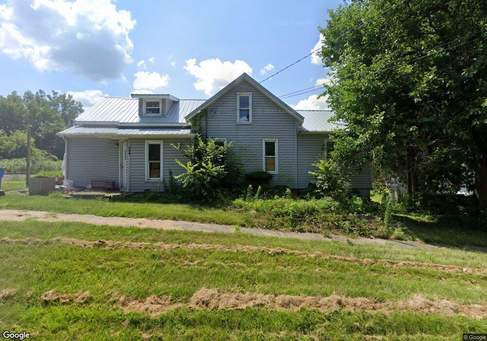
309 E Elm St Reading, MI 49274
Estimated Value: $108,000 - $156,000
3
Beds
1
Bath
1,165
Sq Ft
$112/Sq Ft
Est. Value
About This Home
This home is located at 309 E Elm St, Reading, MI 49274 and is currently estimated at $130,420, approximately $111 per square foot. 309 E Elm St is a home located in Hillsdale County with nearby schools including Reynolds Elementary School and Reading High School.
Ownership History
Date
Name
Owned For
Owner Type
Purchase Details
Closed on
Sep 30, 2013
Sold by
Gier Kevin J and Gier Linda M
Bought by
Stoddard Walter
Current Estimated Value
Purchase Details
Closed on
Jul 12, 1995
Sold by
Gier Charles B and Marella Ann
Bought by
Gier Kevin J and Gier Linda M
Purchase Details
Closed on
Aug 11, 1993
Sold by
Veltkamp Larry D and Veltkamp Dawn M
Bought by
Gier Charles B and Marella Ann
Purchase Details
Closed on
Feb 28, 1987
Sold by
Mason Jim E and Mason Judy M
Bought by
Veltkamp Larry D and Veltkamp Dawn M
Purchase Details
Closed on
Feb 26, 1987
Sold by
Crowl Vernie R and Crowl Jean E
Bought by
Mason Jim E and Mason Judy M
Purchase Details
Closed on
Jul 21, 1978
Sold by
Mason Evelyn L
Bought by
Mason Jim E and Mason Judy
Create a Home Valuation Report for This Property
The Home Valuation Report is an in-depth analysis detailing your home's value as well as a comparison with similar homes in the area
Purchase History
| Date | Buyer | Sale Price | Title Company |
|---|---|---|---|
| Stoddard Walter | $65,000 | Midstate Title Agency Of Sou | |
| Gier Kevin J | $27,500 | -- | |
| Gier Charles B | $27,500 | -- | |
| Veltkamp Larry D | $10,000 | -- | |
| Mason Jim E | $100 | -- | |
| Mason Jim E | $6,500 | -- |
Source: Public Records
Tax History
| Year | Tax Paid | Tax Assessment Tax Assessment Total Assessment is a certain percentage of the fair market value that is determined by local assessors to be the total taxable value of land and additions on the property. | Land | Improvement |
|---|---|---|---|---|
| 2025 | $554 | $46,500 | $0 | $0 |
| 2024 | $5 | $45,100 | $0 | $0 |
| 2023 | $517 | $34,500 | $0 | $0 |
| 2022 | $1,158 | $28,600 | $0 | $0 |
| 2021 | $1,127 | $27,400 | $0 | $0 |
| 2020 | $1,122 | $24,200 | $0 | $0 |
| 2019 | $1,093 | $23,300 | $0 | $0 |
| 2018 | $1,055 | $23,300 | $0 | $0 |
| 2017 | $1,026 | $22,400 | $0 | $0 |
| 2016 | $1,017 | $22,100 | $0 | $0 |
| 2015 | $436 | $22,100 | $0 | $0 |
| 2013 | $422 | $17,970 | $0 | $0 |
| 2012 | $431 | $18,340 | $0 | $0 |
Source: Public Records
Map
Nearby Homes
- 5211 Long Lake Rd
- 0 W Silver St Unit 25044322
- 5339 Lake Dr
- 4380 Abbott Rd
- 309 S Main St
- 226 Strong St
- 5100 Long Lake Rd
- 108 Lynn St
- 5482 Circle Dr
- V L Long Lake Rd
- 0 Long Lake Rd Unit 26458115
- 0 Long Lake Rd Unit 26009910
- 5375 Paradise Dr
- 3870 Rus Dic Dr
- 4111 Blair Rd
- 8875 Kellogg Dr
- 9059 Kellogg Dr
- 9055 Kellogg Dr
- 490 Kelley Rd
- 8941 Kellogg Dr
Your Personal Tour Guide
Ask me questions while you tour the home.