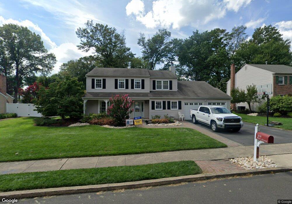
309 Flint Rd Langhorne, PA 19047
Estimated Value: $675,000 - $743,000
4
Beds
3
Baths
2,282
Sq Ft
$306/Sq Ft
Est. Value
About This Home
This home is located at 309 Flint Rd, Langhorne, PA 19047 and is currently estimated at $699,195, approximately $306 per square foot. 309 Flint Rd is a home located in Bucks County with nearby schools including Pearl S. Buck Elementary School, Maple Point Middle School, and Neshaminy High School.
Ownership History
Date
Name
Owned For
Owner Type
Purchase Details
Closed on
Mar 29, 2007
Sold by
Barrans Stefanie
Bought by
Pirolli Matthew J and Pirolli Michele A
Current Estimated Value
Home Financials for this Owner
Home Financials are based on the most recent Mortgage that was taken out on this home.
Original Mortgage
$320,000
Interest Rate
6.71%
Mortgage Type
Purchase Money Mortgage
Purchase Details
Closed on
May 12, 2006
Sold by
Gurysh Kenneth J
Bought by
Barrans Stefanie
Home Financials for this Owner
Home Financials are based on the most recent Mortgage that was taken out on this home.
Original Mortgage
$19,245
Interest Rate
6.53%
Mortgage Type
Credit Line Revolving
Create a Home Valuation Report for This Property
The Home Valuation Report is an in-depth analysis detailing your home's value as well as a comparison with similar homes in the area
Home Values in the Area
Average Home Value in this Area
Purchase History
| Date | Buyer | Sale Price | Title Company |
|---|---|---|---|
| Pirolli Matthew J | $400,000 | None Available | |
| Barrans Stefanie | $384,900 | None Available |
Source: Public Records
Mortgage History
| Date | Status | Borrower | Loan Amount |
|---|---|---|---|
| Previous Owner | Pirolli Matthew J | $320,000 | |
| Previous Owner | Barrans Stefanie | $19,245 | |
| Previous Owner | Barrans Stefanie | $307,920 |
Source: Public Records
Tax History Compared to Growth
Tax History
| Year | Tax Paid | Tax Assessment Tax Assessment Total Assessment is a certain percentage of the fair market value that is determined by local assessors to be the total taxable value of land and additions on the property. | Land | Improvement |
|---|---|---|---|---|
| 2025 | $7,985 | $36,680 | $6,800 | $29,880 |
| 2024 | $7,985 | $36,680 | $6,800 | $29,880 |
| 2023 | $7,859 | $36,680 | $6,800 | $29,880 |
| 2022 | $7,652 | $36,680 | $6,800 | $29,880 |
| 2021 | $7,652 | $36,680 | $6,800 | $29,880 |
| 2020 | $7,560 | $36,680 | $6,800 | $29,880 |
| 2019 | $7,392 | $36,680 | $6,800 | $29,880 |
| 2018 | $7,256 | $36,680 | $6,800 | $29,880 |
| 2017 | $7,071 | $36,680 | $6,800 | $29,880 |
| 2016 | $7,071 | $36,680 | $6,800 | $29,880 |
| 2015 | $7,467 | $36,680 | $6,800 | $29,880 |
| 2014 | $7,467 | $36,680 | $6,800 | $29,880 |
Source: Public Records
Map
Nearby Homes
- 624 Lollard Ct
- 462 Scott Ct
- 14303 Cornerstone Dr
- 2602 Waterford Rd Unit 96
- 2007 Waterford Rd Unit 81
- 1948 Satter Ct
- 181 Fillmore Way
- 28130 Hickory Ln
- 654A Woodford Ln
- 30139 Hickory Ln
- 24 Tupelo Ln
- 30 Tupelo Ln
- 195 Roosevelt Dr
- 5801 Spruce Mill Dr Unit 450
- 1749 Locust Dr
- 164 Tyler Way
- 81 Lavender Dr
- 650 Bayberry Ln Unit U6
- 1651 Covington Rd Unit 26
- 647A Rose Hollow Dr Unit B