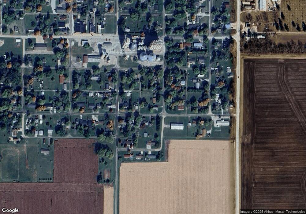
309 Grove St Unit 1 Weldon, IL 61882
Estimated Value: $79,293 - $114,000
3
Beds
1
Bath
876
Sq Ft
$109/Sq Ft
Est. Value
About This Home
This home is located at 309 Grove St Unit 1, Weldon, IL 61882 and is currently estimated at $95,323, approximately $108 per square foot. 309 Grove St Unit 1 is a home located in De Witt County with nearby schools including DeLand-Weldon Elementary School, DeLand-Weldon Middle School, and DeLand-Weldon High School.
Ownership History
Date
Name
Owned For
Owner Type
Purchase Details
Closed on
Apr 27, 2023
Sold by
Perry Jacob L
Bought by
Reynolds Sarah
Current Estimated Value
Purchase Details
Closed on
Jun 18, 2011
Sold by
Landstrom Lori Sue
Bought by
Perry Jacob L
Home Financials for this Owner
Home Financials are based on the most recent Mortgage that was taken out on this home.
Original Mortgage
$6,000
Interest Rate
4.63%
Create a Home Valuation Report for This Property
The Home Valuation Report is an in-depth analysis detailing your home's value as well as a comparison with similar homes in the area
Purchase History
| Date | Buyer | Sale Price | Title Company |
|---|---|---|---|
| Reynolds Sarah | -- | None Listed On Document | |
| Perry Jacob L | $36,000 | -- |
Source: Public Records
Mortgage History
| Date | Status | Borrower | Loan Amount |
|---|---|---|---|
| Previous Owner | Perry Jacob L | $6,000 | |
| Previous Owner | Perry Jacob L | $31,345 |
Source: Public Records
Tax History
| Year | Tax Paid | Tax Assessment Tax Assessment Total Assessment is a certain percentage of the fair market value that is determined by local assessors to be the total taxable value of land and additions on the property. | Land | Improvement |
|---|---|---|---|---|
| 2024 | $675 | $13,898 | $2,069 | $11,829 |
| 2023 | $1,086 | $12,657 | $1,884 | $10,773 |
| 2022 | $1,089 | $11,940 | $1,777 | $10,163 |
| 2021 | $1,027 | $11,592 | $1,725 | $9,867 |
| 2020 | $532 | $11,592 | $1,725 | $9,867 |
| 2019 | $517 | $11,592 | $1,725 | $9,867 |
| 2018 | $487 | $11,321 | $1,685 | $9,636 |
| 2017 | $470 | $11,021 | $1,620 | $9,401 |
| 2016 | $437 | $10,805 | $1,588 | $9,217 |
| 2015 | $410 | $10,805 | $1,588 | $9,217 |
| 2014 | $410 | $10,805 | $1,588 | $9,217 |
| 2013 | -- | $10,805 | $1,588 | $9,217 |
Source: Public Records
Map
Nearby Homes
- 0000 White Pigeon Rd
- 2 Timberlake Dr
- 000 Adam Rd
- 1008 Bloomington St
- 269 Chicago St
- 215 Chicago St
- 101 E Third
- 220 S Western Ave
- 260 N Sherman St
- 17395 Swisher Hill Rd
- 8590 Hickory Hills Dr
- 12454 Cracker Rd
- 1255 George Rock Dr
- 940 Clinton Ave
- 1455 Bluebell Ln
- TBD Water St
- 647 County Farm Rd
- 275 E Broadway St
- 514 S Maple St
- 224 W Clinton Ave
