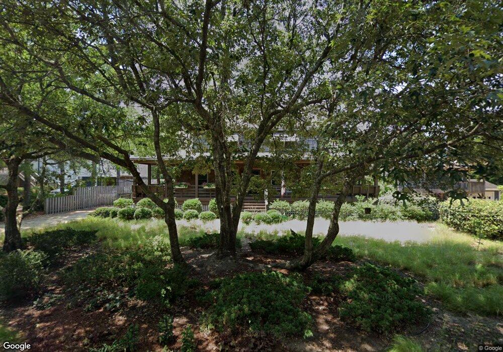
309 Hillcrest Dr Unit 3 Kitty Hawk, NC 27949
Estimated Value: $920,000 - $972,000
4
Beds
3
Baths
2,912
Sq Ft
$324/Sq Ft
Est. Value
About This Home
This home is located at 309 Hillcrest Dr Unit 3, Kitty Hawk, NC 27949 and is currently estimated at $942,667, approximately $323 per square foot. 309 Hillcrest Dr Unit 3 is a home located in Dare County with nearby schools including Kitty Hawk Elementary School, First Flight Middle School, and First Flight High School.
Ownership History
Date
Name
Owned For
Owner Type
Purchase Details
Closed on
Feb 22, 2013
Sold by
Brown Robert B and Brown Beth A
Bought by
Ryan Robert F and Ryan Anne T
Current Estimated Value
Home Financials for this Owner
Home Financials are based on the most recent Mortgage that was taken out on this home.
Original Mortgage
$300,000
Outstanding Balance
$209,910
Interest Rate
3.43%
Mortgage Type
New Conventional
Estimated Equity
$732,757
Create a Home Valuation Report for This Property
The Home Valuation Report is an in-depth analysis detailing your home's value as well as a comparison with similar homes in the area
Home Values in the Area
Average Home Value in this Area
Purchase History
| Date | Buyer | Sale Price | Title Company |
|---|---|---|---|
| Ryan Robert F | $2,850,000 | None Available |
Source: Public Records
Mortgage History
| Date | Status | Borrower | Loan Amount |
|---|---|---|---|
| Open | Ryan Robert F | $300,000 |
Source: Public Records
Tax History
| Year | Tax Paid | Tax Assessment Tax Assessment Total Assessment is a certain percentage of the fair market value that is determined by local assessors to be the total taxable value of land and additions on the property. | Land | Improvement |
|---|---|---|---|---|
| 2025 | $3,800 | $842,200 | $315,800 | $526,400 |
| 2024 | $3,315 | $521,000 | $142,600 | $378,400 |
| 2023 | $3,315 | $521,000 | $142,600 | $378,400 |
| 2022 | $3,315 | $521,000 | $142,600 | $378,400 |
| 2021 | $3,315 | $521,000 | $142,600 | $378,400 |
| 2020 | $3,107 | $521,000 | $142,600 | $378,400 |
| 2019 | $2,951 | $427,700 | $133,500 | $294,200 |
| 2018 | $2,951 | $427,700 | $133,500 | $294,200 |
| 2017 | $2,951 | $427,700 | $133,500 | $294,200 |
| 2016 | $2,780 | $427,700 | $133,500 | $294,200 |
| 2014 | $2,780 | $427,700 | $133,500 | $294,200 |
Source: Public Records
Map
Nearby Homes
- 290 Sea Oats Trail Unit 23
- 316 Wax Myrtle Trail Unit Lot 20
- 290 Wax Myrtle Trail Unit Lot 29
- 310 Duck Rd Unit Lot 14
- 269 Hillcrest Dr Unit Lot 1 A
- 30 11th Ave W Unit Lot 63
- 2 Hickory Trail
- 45 N Dune Loop Unit Lot 55
- 124 Jay Crest Rd Unit 6
- 126 Jay Crest Rd Unit 3
- 131 Brandon Ct Unit Lot 35
- 215 Duck Rd Unit Lot 20
- 120 Tuckahoe Dr W Unit 75
- 47 Dewberry Ln Unit Lot 3
- 5 Live Oak Ln Unit Lot 1
- 102 Sea Hawk Dr E Unit Lot 19
- 153 Bayberry Trail Unit Lot 9
- 188 Duck Rd Unit Lot 32,33,34
- 119 Osprey Ridge Rd Unit Lot 11
- 101 Georgetown Sands Rd Unit 47
- 309 Hillcrest Dr
- 307 Hillcrest Dr
- 311 Hillcrest Dr Unit 2
- 311 Hillcrest Dr
- 305 Hillcrest Dr
- 313 Hillcrest Dr Unit Lot 1
- 313 Hillcrest Dr
- 303 Hillcrest Dr Unit 6
- 303 Hillcrest Dr
- 308 Hillcrest Dr
- 306 Hillcrest Dr
- 310 Hillcrest Dr
- 300 N Dogwood Trail
- 302 N Dogwood Trail
- 304 Hillcrest Dr
- 301 Hillcrest Dr
- 302 Hillcrest Dr
- 314 Hillcrest Dr
- 309 Sea Oats Trail
- 311 Sea Oats Trail